Curated by PaddleWays
RouteFlatwater
- Distance
- 1 mi
- Paddle time
- ~0.5 hrs
- Put-in & take-out
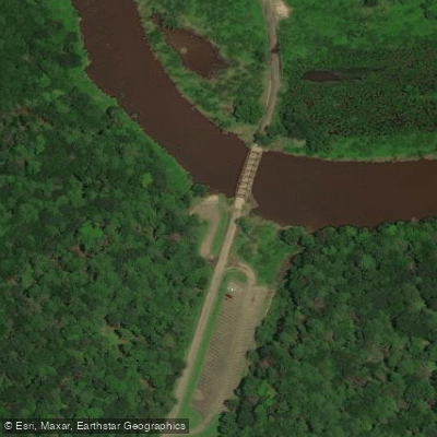
- Nebraska Boat Ramp
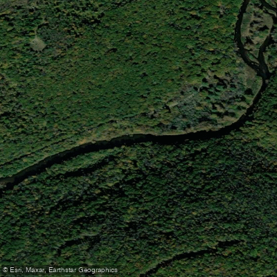
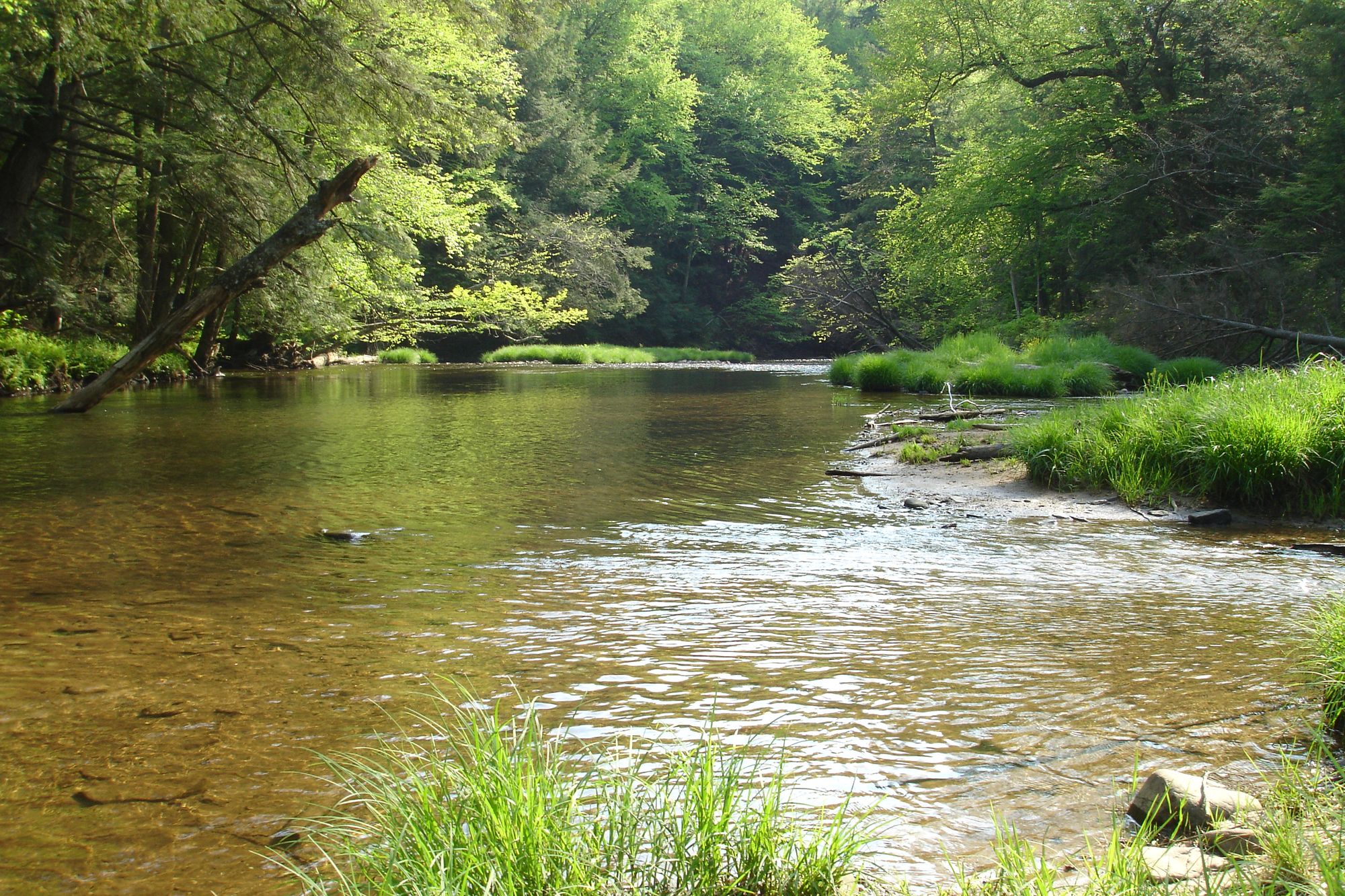
Tionesta Creek is a scenic waterway flowing through the heart of Pennsylvania's Allegheny National Forest. Originating in the highlands of Warren County, it meanders southward for approximately 60 miles before joining the Allegheny River near the town of Tionesta. The creek is a major tributary of the Allegheny, draining a significant portion of the forest's watershed. Paddlers are drawn to Tionesta Creek for its pristine beauty and excellent fishing opportunities.
The most popular section runs from Kellettville to Nebraska Bridge, a 10.5-mile stretch of mostly Class I water suitable for beginners and families. More experienced paddlers can extend their trip by putting in at Sheffield for a longer 16-mile journey. The creek offers a mix of gentle riffles and calm pools, winding through dense forest and occasional clearings. The difficulty of Tionesta Creek is generally mild, ranging from flatwater to Class I, making it accessible to paddlers of various skill levels. However, water levels can fluctuate seasonally, affecting navigability. Spring and early summer typically offer the best conditions, with fall providing stunning foliage views. Paddlers should check the USGS gauge at Lynch for current water levels before embarking.
The creek's ecosystem supports a diverse array of wildlife. Paddlers may spot white-tailed deer, black bears, and various bird species along the banks. The waterway is renowned for its brown trout and smallmouth bass fishing, attracting anglers throughout the season.
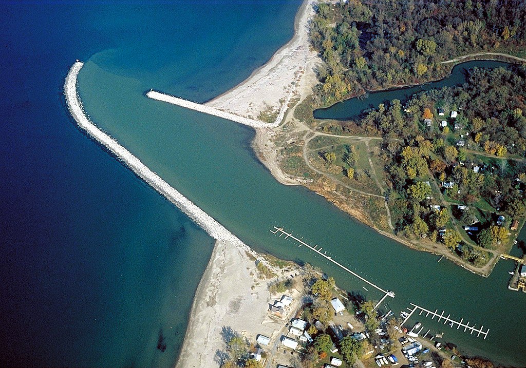
Key landmarks include the Tionesta Dam and Reservoir, constructed for flood control but now offering additional recreational opportunities. The historic Nebraska Bridge serves as a popular take-out point and local landmark. Primary access points include Sheffield, Kellettville, and the Nebraska Bridge area, all small communities within Forest County. The Allegheny National Forest Visitor Center in Marienville is a valuable resource for trip planning and local information.
Tionesta Creek holds cultural significance as part of the region's logging history, with remnants of old timber operations occasionally visible along the banks. Today, it plays a crucial role in the area's outdoor recreation economy.
Safety considerations include checking water levels, being aware of deadfall and strainers, and respecting private property along the banks. Paddlers should also be prepared for limited cell phone coverage in this remote area. For those seeking a multi-day adventure, primitive camping is available along the creek's banks within the national forest boundaries, allowing for extended exploration of this picturesque Pennsylvania waterway.
Curated routes
Hand-picked by the PaddleWays team, with put-ins, take-outs, paddle times and the hazards along the way.
RouteFlatwater
RouteClass I
Hazards
No paddler has reported a hazard here yet, so these are the dams, falls and big rapids on our map. Hazards change with flows and storms, so check them before you launch.
From the community
Real trips from PaddleWays paddlers: which route they ran, how the flows were, and what to watch for.
Loading trip reports
PaddleWays paddler
Nebraska Boat Ramp to Location on• 1,240 cfs at Tionesta Creek Dam
Nebraska Boat Ramp to Location on: 34/27/2026 7:34 PM
See exactly where the public can get on and off the river. Launch points and boat ramps are paired with PaddleWays' public land data so you know where you can legally land.
Public shoreline
36%of the river's shoreline is public
Most of the riverbank is private. Launch, land and camp only at public access points.
Flows, weather and a route-by-route verdict, so you know which stretch of the Tionesta Creek is worth paddling today.
All Flow Stations
Scheduled releases and generation forecasts from the dams on Tionesta Creek.
Tionesta Creek · Below Tionesta Dam · National Weather Service
250 cfs now
Forecast updated today at 4:37 PM EST. Schedules can change, so check the operator's page before you go.
Live flows, marked hazards and fresh trip reports from paddlers who were just on the water, all in one place.





Every user gets free access to launch points, boat ramps, and public property parcels.
Loading popular cities...
PaddleWays gives you everything you need to plan smarter, paddle better, and own every trip from first launch to takeout.