Curated by PaddleWays

Catawba River

1.2 mi flatwater route on the Catawba River in South Carolina

  • Flatwater

Map of the Catawba River route, from Riverwalk Boat Ramp
  • Route
  • Put-in & take-out

Level right now

How Catawba River is running today

Recommended level from the route description.

Route facts

Catawba River at a glance

Distance
1.2 mi
Paddle time
~0.5 hrs
Type
Flatwater
Recommended level
4,000 cfs or lessfrom the route description
Good for
Experienced paddlers

About this route

Paddling Catawba River

This 1.2-mile flatwater route runs on the Catawba River in York County, South Carolina, with both the put-in and take-out at the Riverwalk Boat Ramp.

The ramp accommodates vehicles backing all the way to the water, and a separate canoe and kayak launch is also present at the site. At flows above 4,000 cubic feet per second, the river is suited to experienced paddlers only.

Put-in & take-out

Hazards

Hazards on Catawba River

No hazards are marked on Catawba River yet. That is not the same as none being there: if you find one, report it for the next paddler.

From the community

Catawba River trip reports

Real trips from PaddleWays paddlers who ran this route: how the flows were, and what to watch for.

Loading trip reports

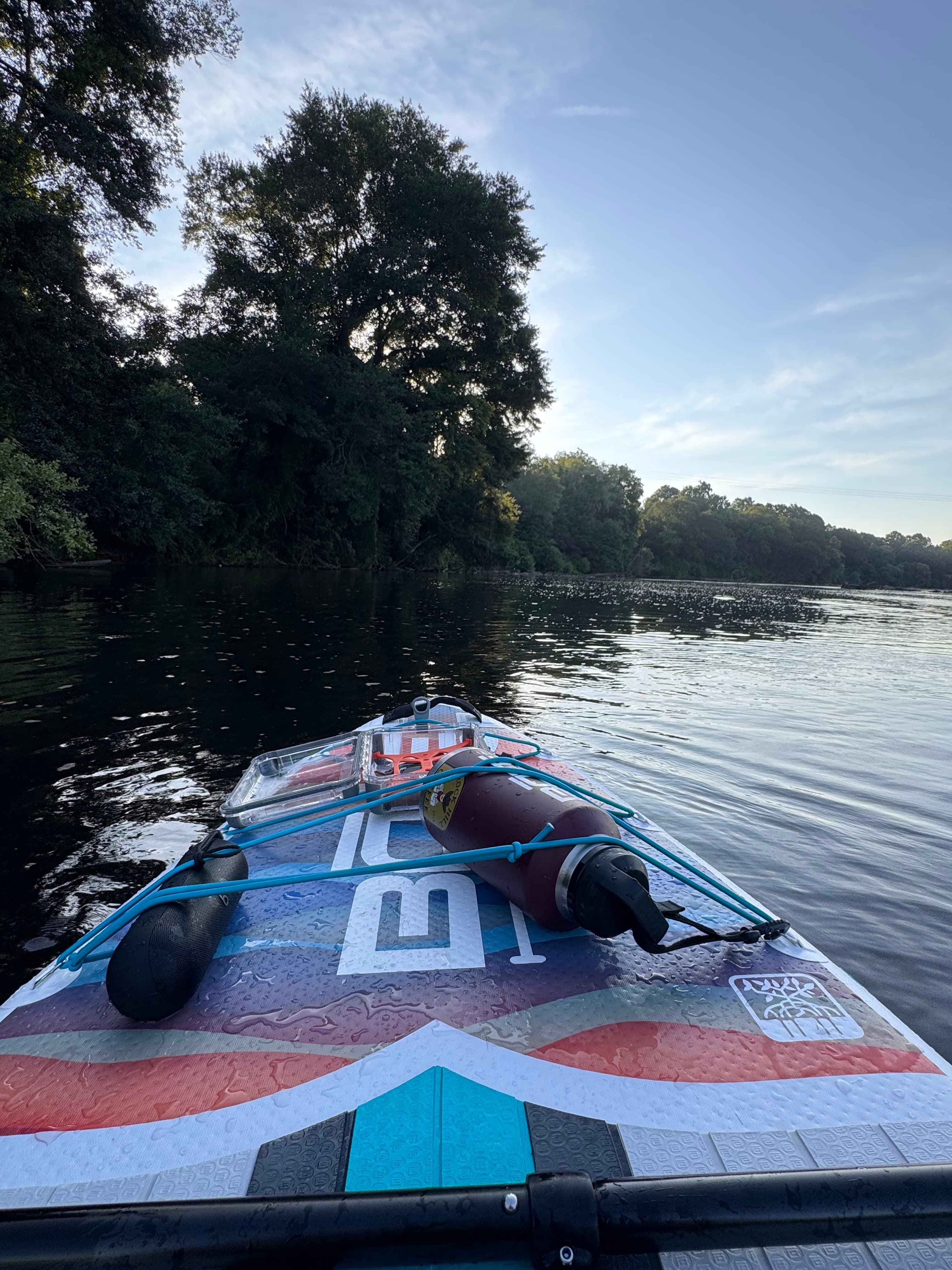
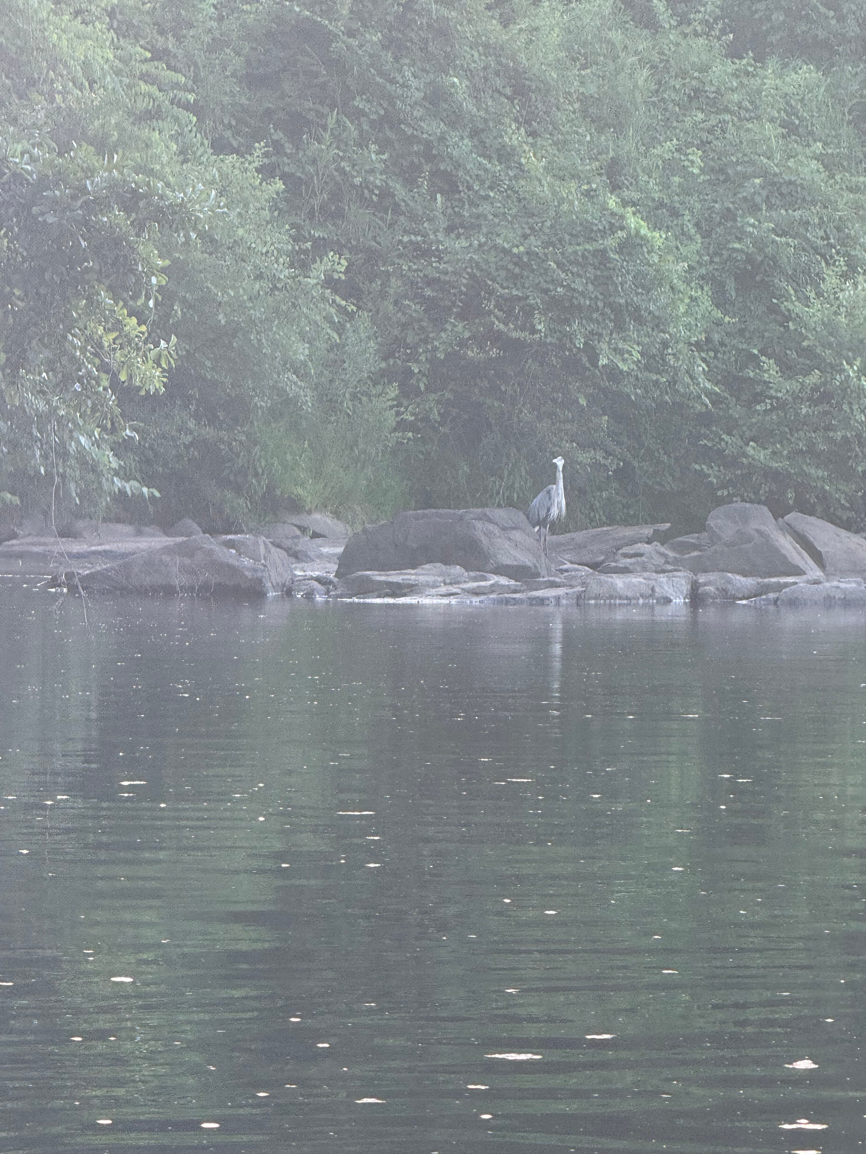
  • Nick W.

    SUP •

    906 cfs at Rock Hill

    • Photo 1 from Nick W.'s trip
    • Photo 2 from Nick W.'s trip

Flows & weather (10 day forecast)

The gauges near Catawba River and the forecast where it starts, so you can pick your day.

No forecast data available.

Same water

More routes on the Catawba River

The other curated routes on the Catawba River, each with how it is running now.

Curated by PaddleWays

RouteFlatwater

Distance
11.1 mi
Paddle time
~3.5 hrs
Best for
Beginners, families
Put-in → take-out
Greenlee Park Access → Black Bear Boat Ramp
Curated by PaddleWays

RouteClass I–III

Distance
55.9 mi
Paddle time
Multi-day
Put-in → take-out
Mt Holly Boat Landing Boat Ramp → Catawba Riverkeeper Fish Camp Boat Ramp
Curated by PaddleWays

RouteClass I–II

Distance
79 mi
Paddle time
Multi-day
Put-in → take-out
Greenlee Park Access → Lookout Shoals Boat Ramp
Portages around dams required

Close by

Routes near Catawba River

Curated routes on other waters within an hour or so, nearest first.

Curated by PaddleWays

Lake Wylie

on Lake Wylie · 5 mi away

RouteFlatwater

Distance
2 mi
Paddle time
~1 hr
Put-in & take-out
Pitcairn Cove Boat Ramp
Curated by PaddleWays

RouteClass II–III

Distance
5.3 mi
Paddle time
~1.5 hrs
Put-in → take-out
Spencer Mountain Access → South Fork Trail and Blueway Boat Ramp
Challenging whitewater in first 3.5 miles
Curated by PaddleWays

RouteClass I–II

Distance
74.3 mi
Paddle time
Multi-day
Best for
Beginners, families
Put-in → take-out
Route 150 Access → Strother's Landing Boat Ramp
Island to stay left of
Curated by PaddleWays

RouteClass I–II

Distance
18.2 mi
Paddle time
Multi-day
Best for
Beginners, intermediate paddlers
Put-in → take-out
South Carolina Route 18 Bridge Access → Daltons Landing Boat Ramp
Curated by PaddleWays

RouteClass I–II

Distance
41.4 mi
Paddle time
Multi-day
Best for
Beginners, intermediate paddlers
Put-in → take-out
Riverbend Farm Access → Route 52 Access

Smarter Paddling Starts in the App.

PaddleWays gives you everything you need to plan smarter, paddle better, and own every trip from first launch to takeout.