Paddling in South Carolina
- Lakes
- 1,535
- Rivers
- 3,675
- Access
- 316
- Boat Ramps
- 574
- Shops
- 7
South Carolina runs on three registers — Blue Ridge whitewater in the northwest corner, blackwater swamp rivers across the middle and Lowcountry, and 295 miles of tidal sea-island coast — and you can move between them in a single day's drive.
The whitewater identity belongs to the Chattooga, the Wild and Scenic river forming the Georgia border.
Section III is a Class II–III run with a Class IV+ kicker at Bull Sluice; Section IV is the serious one, eight miles ending in Five Falls — Entrance, Corkscrew, Crack-in-the-Rock, Jawbone, Sock-em-Dog — five rapids stacked into a 75-foot staircase.
There are no roads paralleling the river. Every put-in and take-out is a hike, the Section IV permit is self-fill, and Crack-in-the-Rock gets portaged by most.
Flows are entirely rain-driven; spring through early summer is the window, and winter belongs to experts in drysuits.
Wildwater and NOC have run guided trips here since the early 70s, and Greenville's Foothills Paddling Club anchors the upstate scene with roll sessions, beginner programs, and ChattooogaFest the first weekend of May. Down off the Piedmont, the rivers go black.
The Edisto is the long one — the longest free-flowing blackwater river in North America — and the ERCK Trail is the state's canoe-camping institution: 56-some miles of tea-colored water under live oaks and Spanish moss, tupelo and baldcypress, with guaranteed sites at Colleton and Givhans Ferry state parks between landings.
Watch the Givhans Ferry gauge — below 3 feet the main channel closes out — and expect to portage strainers after storms.
Cedar Creek inside Congaree National Park threads the largest old-growth bottomland hardwood forest in the eastern US; the canopy is so dense midday reads as twilight.
The Congaree River Blue Trail extends the experience downstream into a 2–3 day float over big sandbars, most of which submerge above roughly 10,000 cfs.
Further east, the Waccamaw Blue Trail carries 100 miles through National Wildlife Refuge swamp down to Winyah Bay. The coast is its own thing.
The Southeast Coast Saltwater Paddling Trail runs from the Savannah River to Little River, and the ACE Basin — Ashepoo, Combahee, Edisto — is roughly 1. 1 million acres of undeveloped estuary, salt marsh and tidal creek and barrier island.
Navigation here is tide-driven, not current-driven; bring tables, leave a float plan, and don't guess. Coastal Expeditions out of Mount Pleasant runs guided overnights to Capers Island.
Hilton Head hosts the Lowcountry Paddlefest in September, an ACA-sanctioned weekend of surfski, OC, SUP, and kayak racing that pulls the coastal community together. Three states of water, one license plate. The trick is knowing which one you came for.
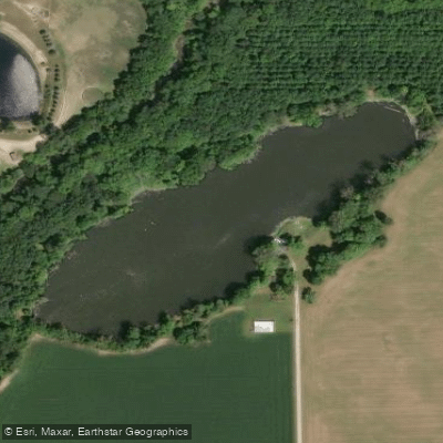
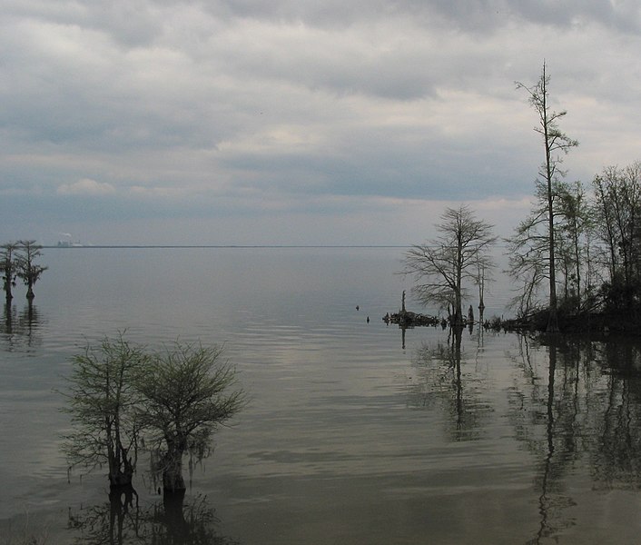
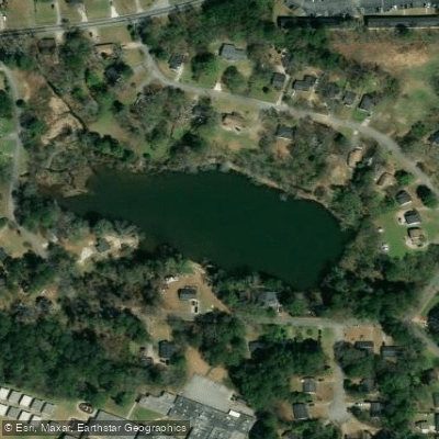
Top waters to paddle near South Carolina
Paddle smarter with real-time insights
Whether you're en route and conditions shift or you're looking for the best spot based on current flows, we enable you to make informed decisions on the fly.







South Carolina licenses and regulations
National parks in South Carolina
Explore South Carolina waters
Top paddling waters
Popular Cities
Loading popular cities...

Smarter Paddling Starts in the App.
Paddleways gives you everything you need to plan smarter, paddle better, and own every trip from first launch to takeout.