Rocky River
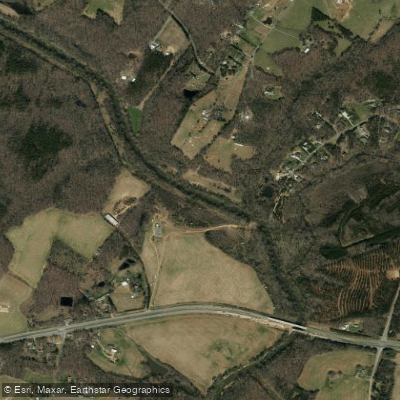
Rocky River
- Boat Ramps
- 0
- Access Points
- 4
- Campsites
- 1
The Rocky River originates in southern Iredell County near Mooresville and flows approximately 95 miles southeastward through the North Carolina Piedmont before joining the Pee Dee River near Norwood in Stanly County. This undammed waterway represents one of the longest free-flowing rivers in the state, passing through Cabarrus, Mecklenburg, Union, and Anson counties along its course. The river's character transitions from narrow, technical rapids in its upper reaches to wider, rockier channels downstream, with the final stretch merging into the broader Pee Dee system.
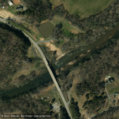
Paddling opportunities span the river's length through multiple established access points. The northernmost launch at Pharr Family Preserve in Midland offers Class I-II rapids in a narrow channel. Downstream, Riverbend Farm provides another Cabarrus County access point approximately 4.5 miles from Pharr. The river widens considerably through Stanly County, where launches at Oakboro Blueway Parks I and II, Plank Road, and Norwood create trip options ranging from 4 to 18 miles. The Rocky River Blueway, part of the Carolina Thread Trail network, extends approximately 49 miles with eight public launches enabling half-day to full-day excursions.
Paddlers should possess intermediate to advanced skills, particularly on upper sections where Class I-II rapids, rock gardens, and occasional strainers demand attention. Water levels fluctuate dramatically—sometimes five feet or more within hours—due to upstream precipitation. The USGS gauge at Norwood provides critical flow data; readings between 250-1200 cubic feet per second indicate optimal conditions. Spring and fall offer the most reliable water levels, though summer paddling remains possible after rainfall.
The river corridor supports diverse Piedmont floodplain forest habitat. Paddlers encounter over 50 bird species including prothonotary warblers, red-headed woodpeckers, great blue herons, and pileated woodpeckers. White-tailed deer, river otters, wild turkeys, and various turtle species inhabit the riparian zone. Shoreline vegetation includes bitternut hickory, sourwood, cottonwood, swamp chestnut oak, and black walnut.
The Rocky River holds historical significance as the site of America's first documented gold discovery at Little Meadow Creek in Cabarrus County. The confluence with the Pee Dee at Fork Farms (Colson's Plantation) marked a strategic Revolutionary War location.
Paddlers must respect private property between public launches and monitor weather conditions vigilantly. No dams interrupt the flow, but debris accumulation and tree hazards require constant vigilance. The Pee Dee National Wildlife Refuge provides additional downstream access, extending paddling opportunities beyond the Rocky River proper into Anson County.
Water access, boat ramps & amenities
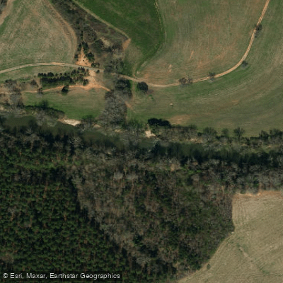
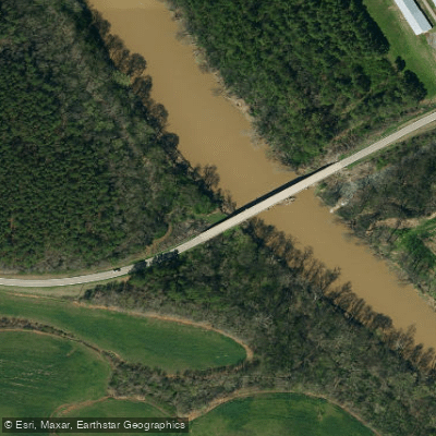
Learn how to get on Rocky River. Uncover great paddling access points, boat ramps, and all the facilities you need for an unforgettable day on the water. Some locations shown may border or include private property. Always check property boundaries and applicable regulations before visiting. PaddleWays's Public & Private Land layer can help you plan your access with confidence.
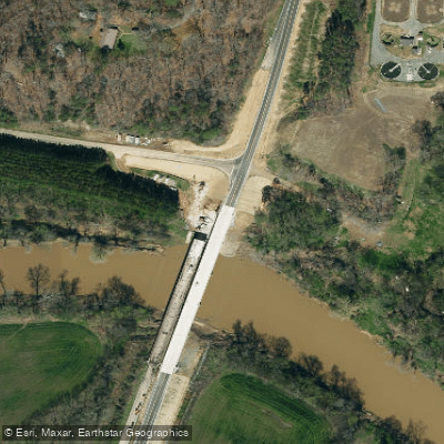
Paddle smarter with real-time insights
Whether you're en route and conditions shift or you're looking for the best spot based on current flows, we enable you to make informed decisions on the fly.








Find Places to Paddle

Over 400,000 Places to Paddle
Every user gets free access to launch points, boat ramps, and public property parcels.


Water and weather conditions (10 day forecast)
See the best times to paddle Rocky River and check the forecast before you go.
ROCKY R AB IRISH BUFFALO CR NR ROCKY RIVER, NC
All Flow Stations
Paddling near Rocky River
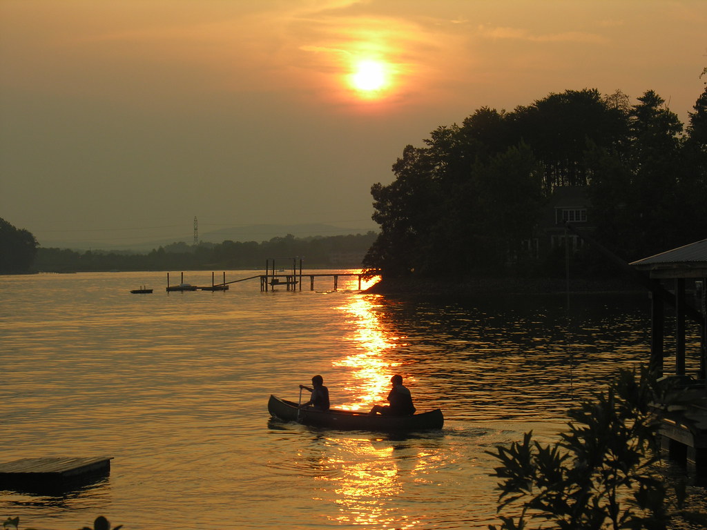
Lake Norman
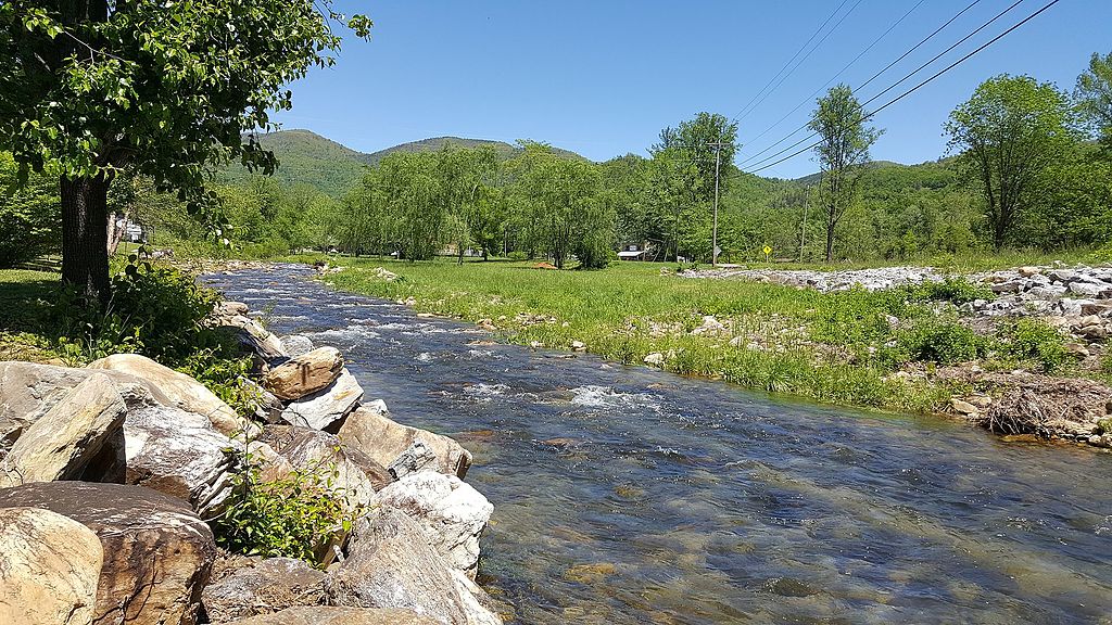
Catawba River
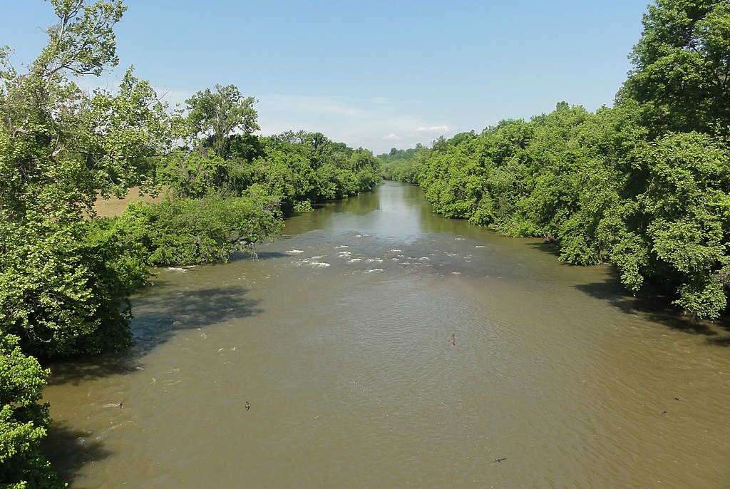
Yadkin River
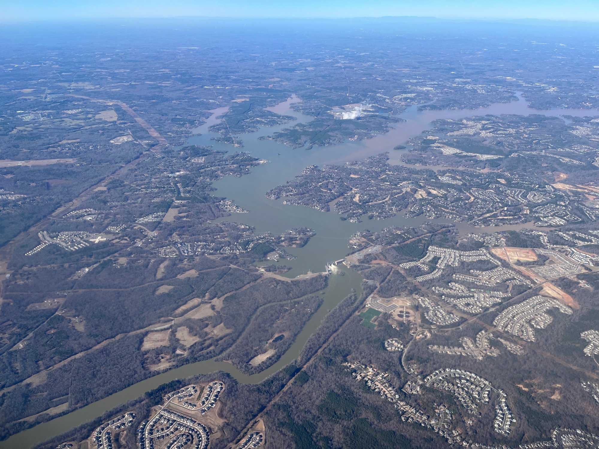
Lake Wylie
Mountain Island Lake
Badin Lake
Lake Tillery
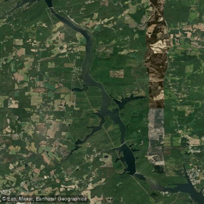
Tuckertown Reservoir
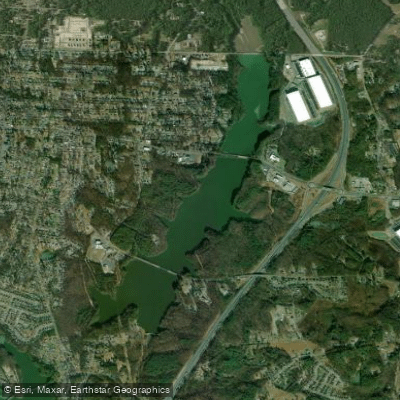
Lake Fisher
Explore North Carolina waters
Top paddling waters
Popular Cities
Loading popular cities...
Explore near Rocky River
Access points
Nearby waters
More in North Carolina

Smarter Paddling Starts in the App.
Paddleways gives you everything you need to plan smarter, paddle better, and own every trip from first launch to takeout.