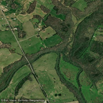
The Caney Fork River originates near Crossville in Cumberland County, flowing 143 miles through the Cumberland Plateau and Highland Rim before joining the Cumberland River near Carthage in Smith County. This major tributary drains a substantial watershed across seven Tennessee counties, carving through limestone gorges and pastoral valleys as it descends from the plateau.
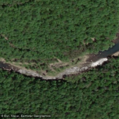
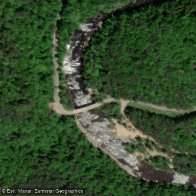
The river's character transforms dramatically along its course. In Cumberland and White counties, it plunges through Scott's Gulf, a remote wilderness gorge dropping 700 feet over approximately six miles with Class IV-V whitewater suitable only for expert paddlers. This rugged section features steep canyon walls, numerous caves, and pristine wilderness within the Bridgestone/Firestone Centennial Wilderness Area.
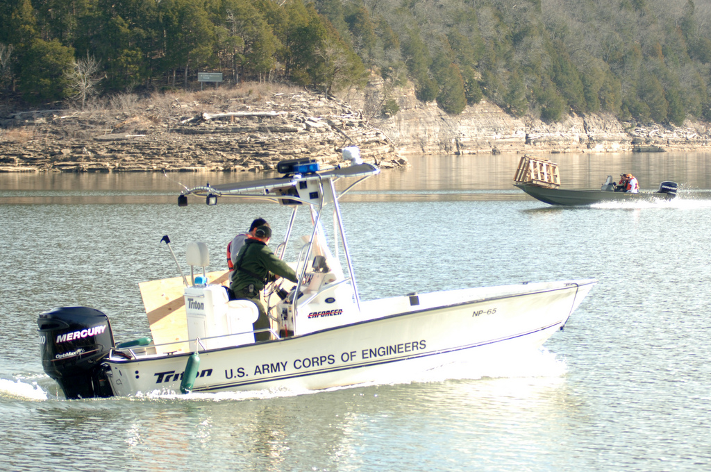
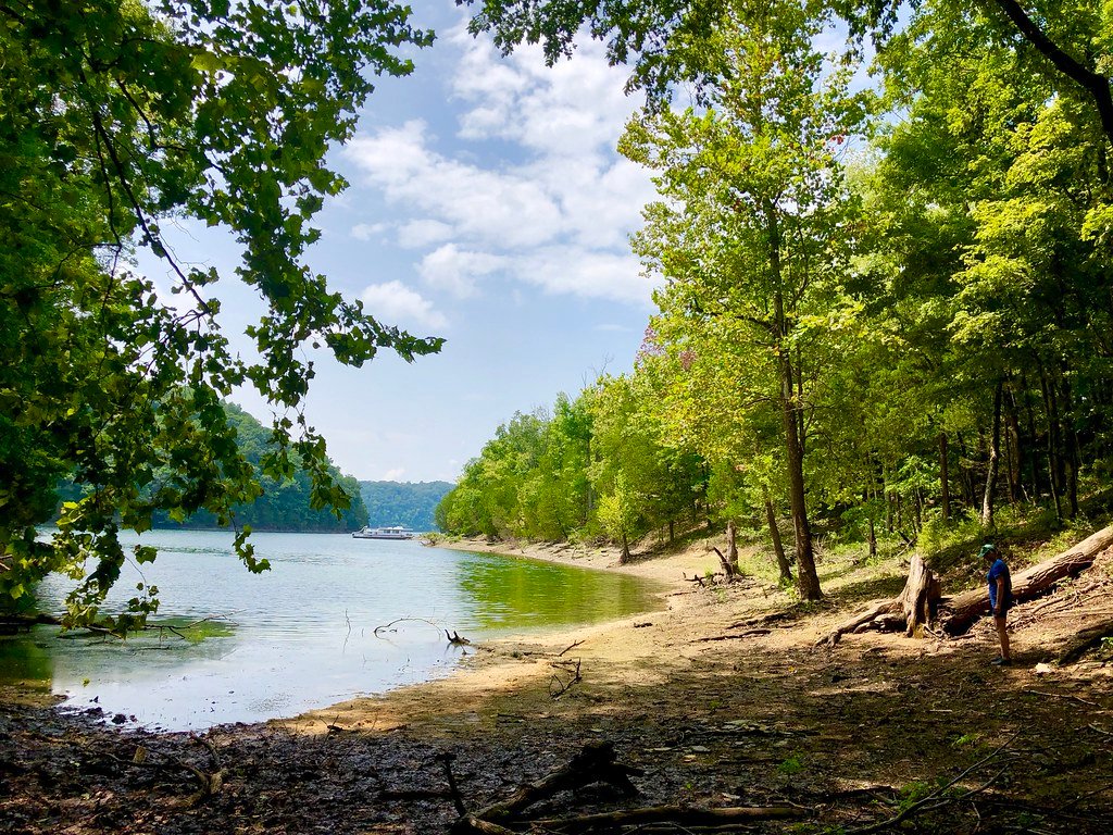
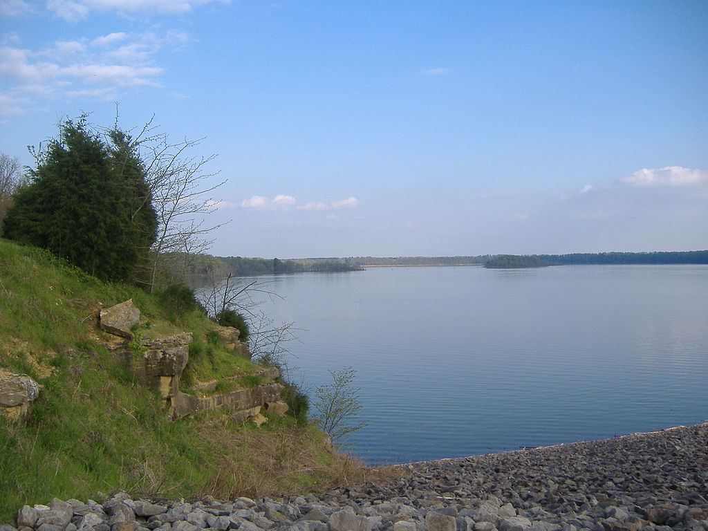
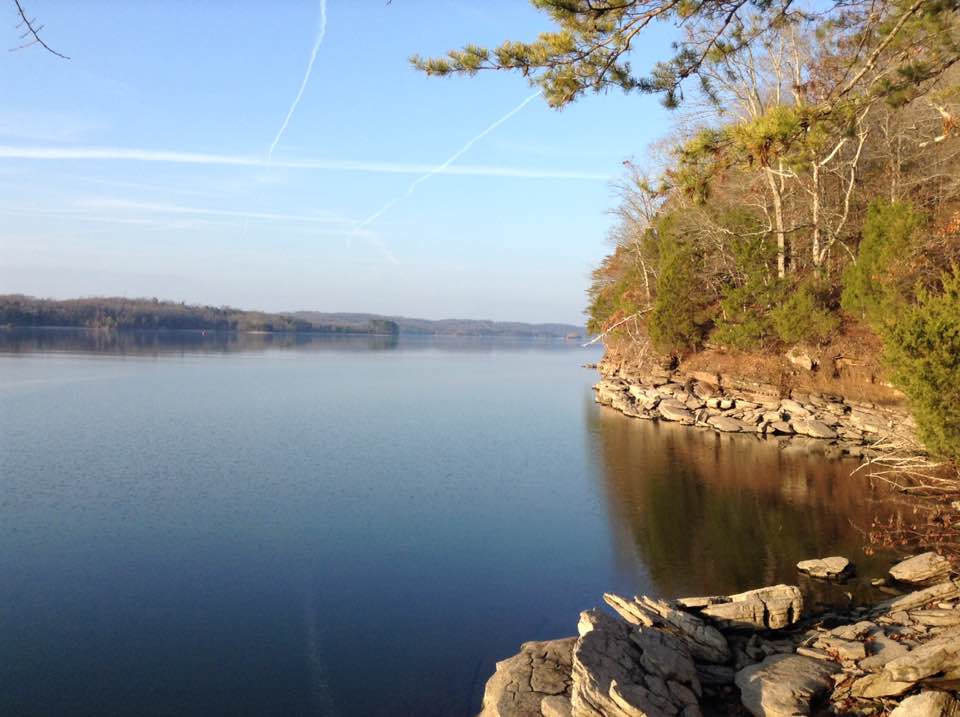
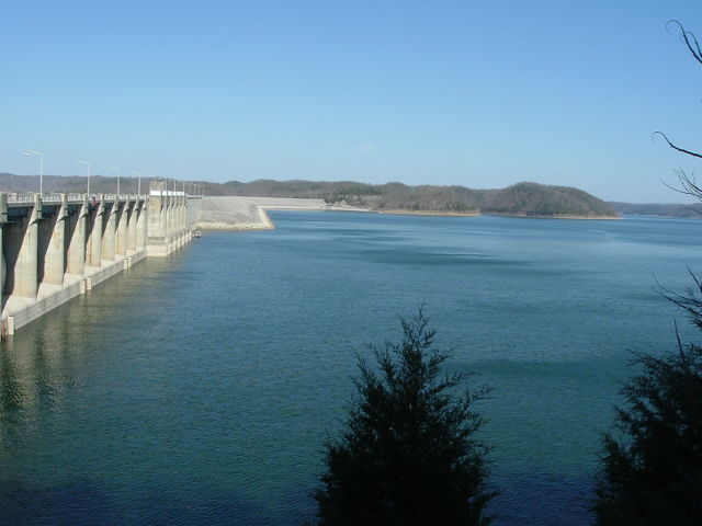
Great Falls Dam in Warren County creates Great Falls Lake, where the Caney Fork converges with the Collins and Rocky Rivers. Below the dam, the river flows through Rock Island State Park, offering challenging whitewater for experienced kayakers before entering Center Hill Lake. This reservoir, managed by the U.S. Army Corps of Engineers, extends 64 miles through DeKalb, Putnam, Smith, Warren, and White counties with 415 miles of largely undeveloped shoreline.
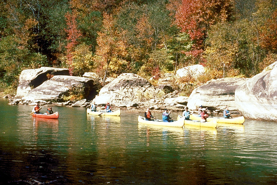
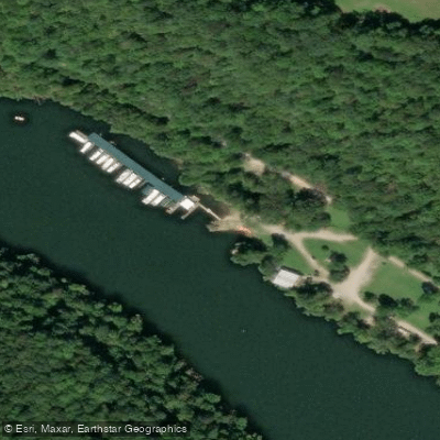
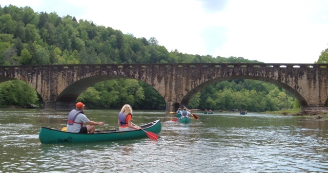
The tailwater section below Center Hill Dam in DeKalb County provides the region's most popular paddling. This 26.5-mile stretch to the Cumberland River features Class I water—placid during low generation, swift but manageable during releases. The cold, clear water (approximately 55°F year-round) supports a renowned trout fishery with stocked rainbow, brown, and brook trout. Multiple access points include Buffalo Valley Recreation Area, Happy Hollow, Betty's Island, and Stonewall Bridge.
Spring offers the highest water levels and most dynamic conditions, while summer provides reliable flows dependent on dam generation schedules. Fall features excellent fishing and comfortable temperatures, with winter paddling possible for those prepared for cold conditions.
Wildlife includes river otters, mink, beavers, great blue herons, ospreys, and bald eagles. White-tailed deer frequent the banks, while the clear water reveals abundant aquatic life including smallmouth bass, walleye, and various minnow species.
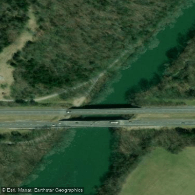
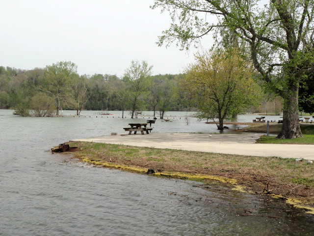
Access is excellent in the tailwater section with numerous Corps of Engineers recreation areas. Cookeville (Putnam County) and Smithville (DeKalb County) serve as primary gateway communities, both located near Interstate 40. The river passes under I-40 five times between Center Hill Dam and Carthage.
The Caney Fork's name derives from dense cane breaks that lined its banks when European settlers arrived. The river supported early transportation and commerce, with remnants of 19th-century homesteads visible along remote sections.
Paddlers must monitor Center Hill Dam generation schedules, as water levels can rise rapidly and significantly. The Tennessee Wildlife Resources Agency stocks trout annually and enforces fishing regulations. The river's popularity means crowded conditions near access points during peak season, particularly weekends.