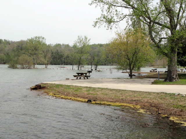
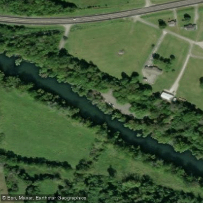
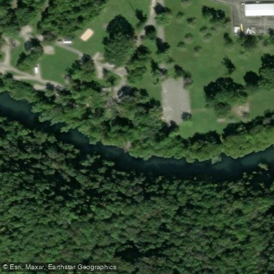
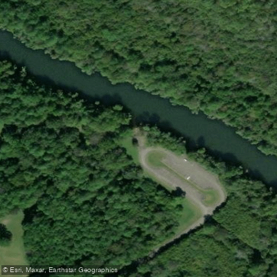
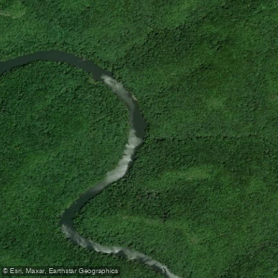
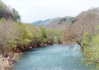
The Obey River is a 47.8-mile long tributary of the Cumberland River in north-central Tennessee. It originates at the confluence of its East and West Forks in Overton County, flowing generally northwest before emptying into the Cumberland River near Celina. The river's watershed drains portions of Overton, Fentress, Pickett, and Clay counties.
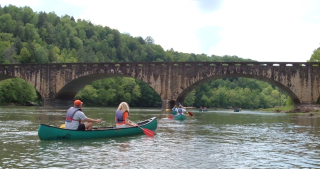
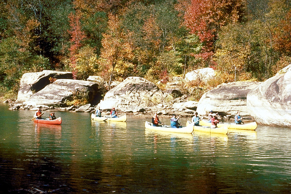
Paddling opportunities on the Obey River system range from challenging whitewater on the upper forks to gentle flatwater on the lower sections. The East Fork offers advanced Class III-V rapids over a 13.8-mile stretch from Cliff Springs to the TN 85 Bridge, requiring expert skills to navigate its technical drops and hazards. The West Fork provides more moderate Class II-III whitewater over a scenic 6-mile run from Puncheon Camp Creek to Highway 52 Bridge, suitable for intermediate paddlers.
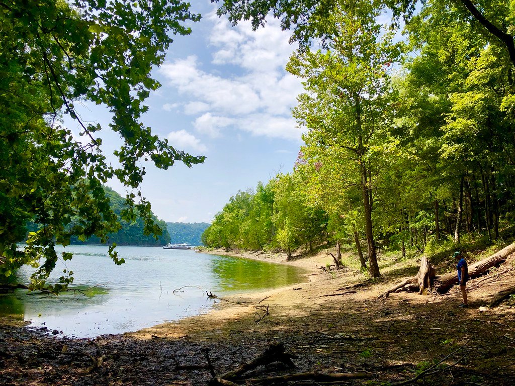
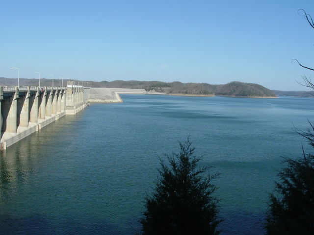
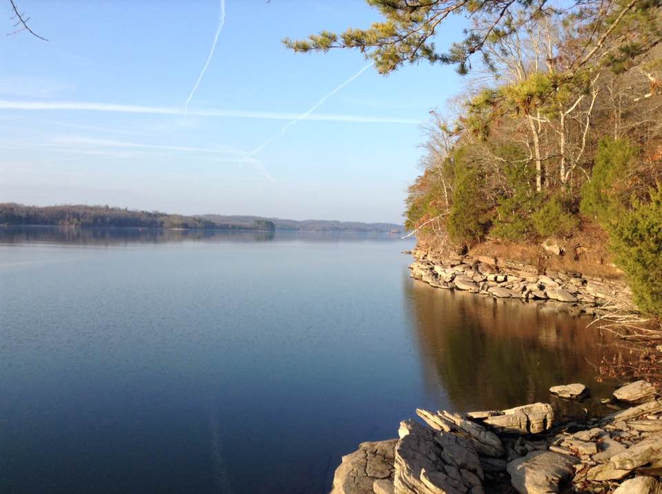
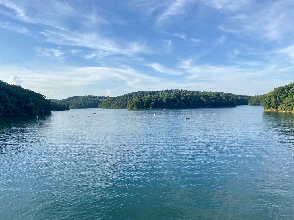
Below the forks, the main stem of the Obey River was impounded in 1943 by Dale Hollow Dam, creating Dale Hollow Lake. The tailwater section below the dam offers 6 miles of Class I-II paddling from the dam to Donaldson Park in Celina, popular for both fishing and scenic floating. This stretch is stocked with rainbow trout by the Dale Hollow National Fish Hatchery, making it a prime destination for anglers.
The best paddling seasons are typically spring and fall when water levels are most reliable. Summer can provide enjoyable trips, though flows may be lower. The river corridor supports diverse flora and fauna, including hardwood forests, wildflowers, and various bird species.
Key access points include Puncheon Camp Creek, Highway 52 Bridge, and Taylor's Ford on the West Fork; Cliff Springs and TN 85 Bridge on the East Fork; and Moody's Landing and Donaldson Park on the tailwater. The nearby towns of Livingston, Byrdstown, and Celina offer services for paddlers.
The Obey River played a significant role in the early settlement and development of the Upper Cumberland region. Today, it continues to be an important recreational resource, offering opportunities for paddling, fishing, and camping.
Paddlers should be aware of potential hazards like undercut rocks and swift currents, especially on the upper sections. Always check water levels and dam release schedules before paddling, particularly on the tailwater section. For those seeking multi-day adventures, it's possible to combine runs on the East and West Forks with the tailwater section, though this would require shuttling between access points.
The Obey River Park near Dale Hollow Dam offers camping facilities for extended stays in the area.