Collins River
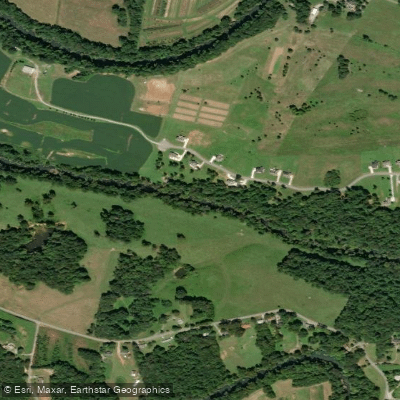
Collins River
- Boat Ramps
- 4
- Access Points
- 7
- Campsites
- 30
The Collins River is a scenic 67-mile long tributary of the Caney Fork River in Middle Tennessee. Originating in the Savage Gulf State Natural Area on the Cumberland Plateau, it flows generally northwest through Warren County before joining the Caney Fork upstream of Great Falls Dam. The river offers diverse paddling opportunities, from placid flatwater sections to more challenging whitewater in its upper reaches. The difficulty ranges from Class I-II in most sections to Class III-IV in the Savage Gulf area. Paddlers should have basic river skills for the easier sections and solid whitewater experience for the upper gorges.
Popular paddling sections include: - Savage Gulf: A dramatic 5-mile stretch through narrow gorges with 800 feet of elevation drop - Shellsford Road to VFW: A pleasant 5.6-mile beginner-friendly float - Locke Bend to Hennessee Bridge: A scenic 5.6-mile trip near Rock Island - Smooth Rapids to VFW: A 6-mile trip combining the Barren Fork and Collins rivers
Spring and fall offer ideal paddling conditions, with reliable water levels and comfortable temperatures. Summer can be low water, while winter brings cold conditions requiring proper gear. The river corridor hosts diverse flora and fauna, including hardwood forests, wildflowers, and wildlife like deer, turkey, and various bird species. Paddlers may spot great blue herons and bald eagles.
Key landmarks include Rock Island State Park, the historic Stonewall Bridge, and the dramatic cliffs of Savage Gulf. Primary access points are found near McMinnville, Rock Island, and within Savage Gulf State Natural Area.
The Collins River played a role in early settlement and commerce of the region. Today, it's valued for recreation and as a State Scenic River within Savage Gulf. Paddlers should be aware of strainers, especially in high water. Check water levels before trips, as some sections can become unnavigable in low water. Multi-day trips are possible by combining sections and camping at designated sites. With its mix of easy floats and challenging whitewater set against the backdrop of the Cumberland Plateau, the Collins River offers a quintessential Tennessee paddling experience for a range of skill levels.
Water access, boat ramps & amenities
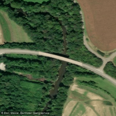
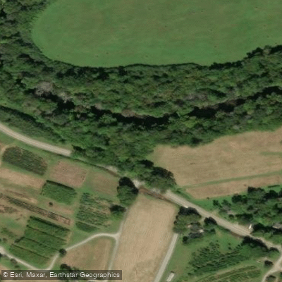
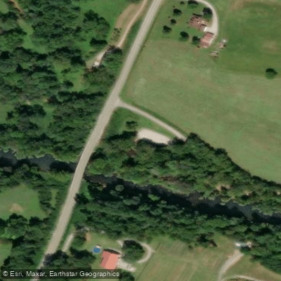
Learn how to get on Collins River. Uncover great paddling access points, boat ramps, and all the facilities you need for an unforgettable day on the water. Some locations shown may border or include private property. Always check property boundaries and applicable regulations before visiting. PaddleWays's Public & Private Land layer can help you plan your access with confidence.
Paddle smarter with real-time insights
Whether you're en route and conditions shift or you're looking for the best spot based on current flows, we enable you to make informed decisions on the fly.








Find Places to Paddle

Over 400,000 Places to Paddle
Every user gets free access to launch points, boat ramps, and public property parcels.


Water and weather conditions (10 day forecast)
See the best times to paddle Collins River and check the forecast before you go.
COLLINS RIVER NEAR MCMINNVILLE, TN
Paddling near Collins River
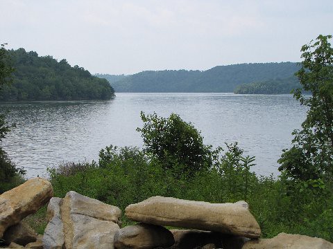
Tims Ford Lake
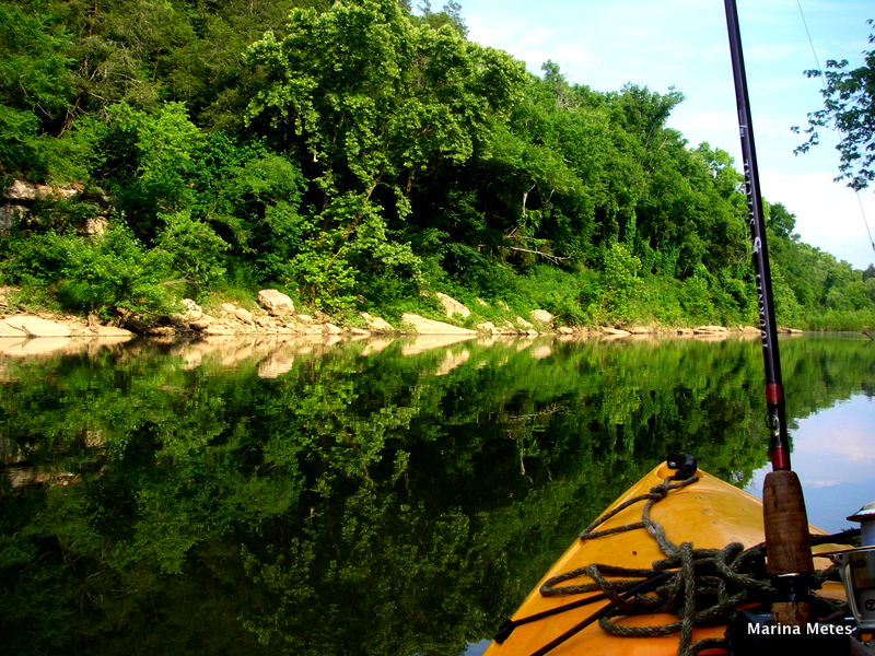
Duck River

Tennessee River
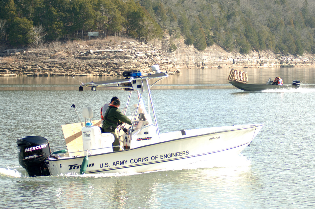
Center Hill Lake
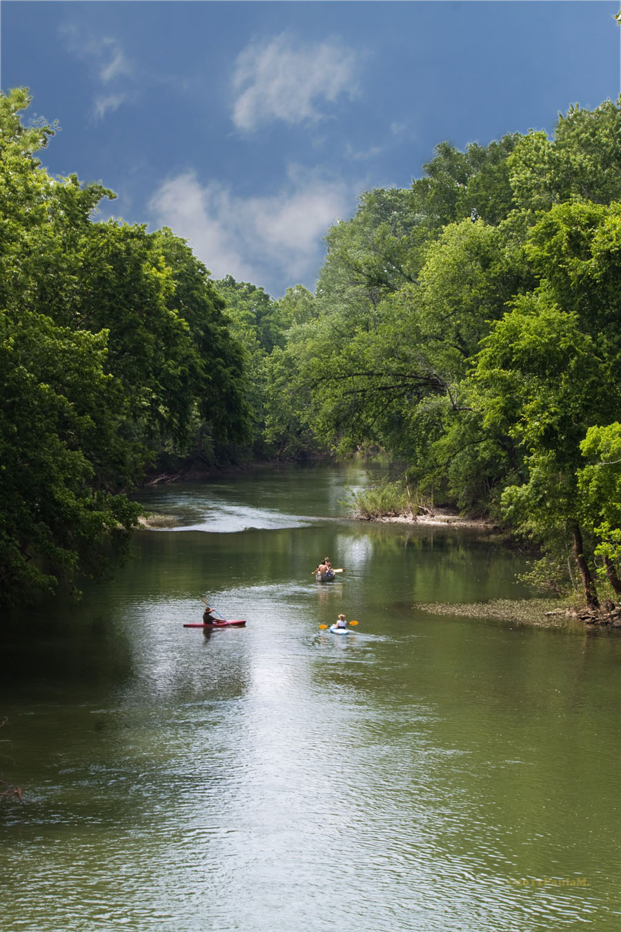
Harpeth River
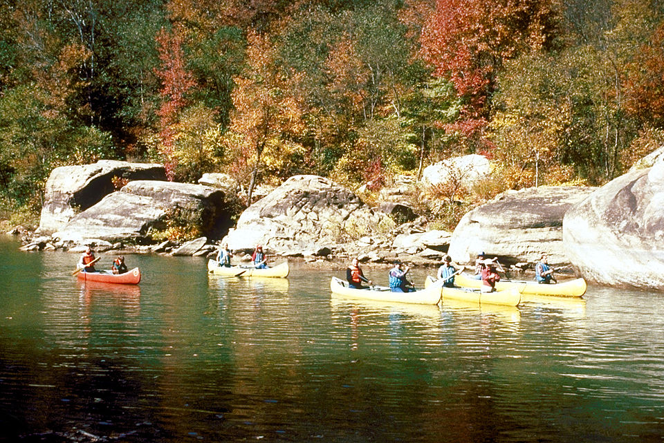
Caney Fork
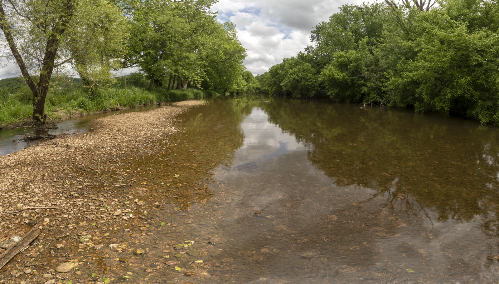
Stones River
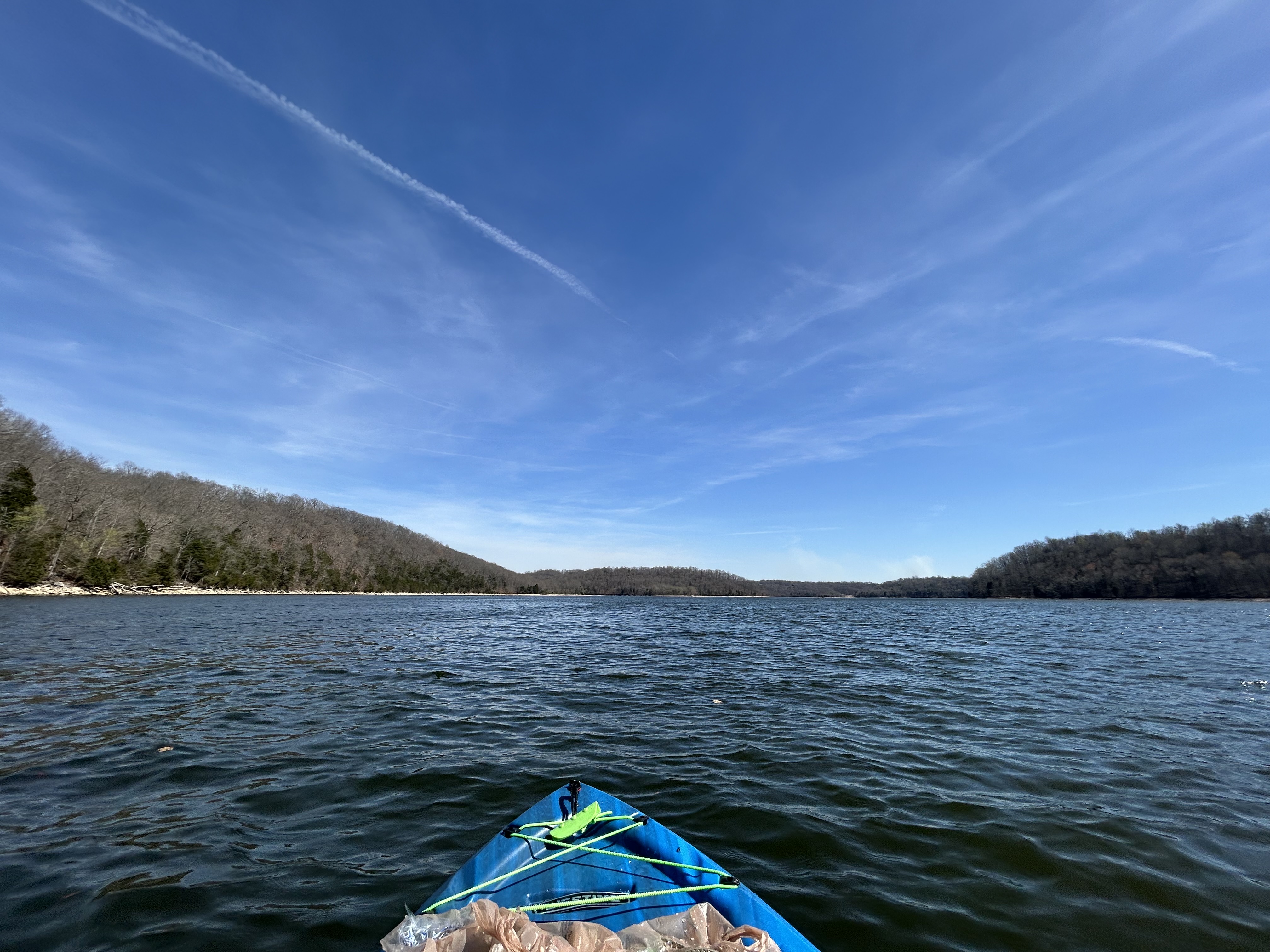
Normandy Lake
Woods Reservoir
Explore Tennessee waters
Top paddling waters
Popular Cities
Loading popular cities...
Explore near Collins River
Access points
Nearby waters
More in Tennessee

Smarter Paddling Starts in the App.
Paddleways gives you everything you need to plan smarter, paddle better, and own every trip from first launch to takeout.