Little River
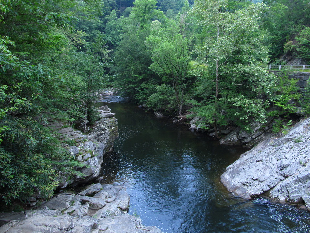
Little River
- Boat Ramps
- 4
- Access Points
- 26
- Campsites
- 21
The Little River originates high in the Great Smoky Mountains of eastern Tennessee, flowing northwestward through Blount County before joining the Tennessee River near Knoxville. This 60-mile long river drains a watershed of approximately 380 square miles, including significant portions of the Great Smoky Mountains National Park.
The upper reaches of Little River offer challenging whitewater for experienced paddlers, with sections ranging from Class III to IV+ rapids. The Sinks to Elbow stretch is particularly renowned, featuring iconic rapids like Screaming Meanies and the Elbow. As the river descends from the mountains, it transitions to more moderate Class II-III paddling near Townsend before eventually becoming a calm flatwater float in its lower sections.
Paddling opportunities on Little River cater to a wide range of skill levels. Expert kayakers can test their skills on the upper gorge sections, while intermediate paddlers enjoy the Elbow to Townsend stretch. Beginners and families find gentle floats on the lower river perfect for a relaxing day trip. The river's flow is primarily rain-fed, making spring and fall the optimal seasons for whitewater paddling, though summer storms can occasionally provide enough water for runs.
The Little River corridor supports a rich ecosystem, home to diverse aquatic life including trout, smallmouth bass, and numerous species of salamanders. The surrounding forests host black bears, white-tailed deer, and over 200 species of birds. Wildflowers bloom profusely along the banks in spring, while fall foliage paints the landscape in vibrant hues.
Key landmarks include the dramatic Little River Falls, the historic settlement of Elkmont, and the scenic Little River Road winding through Great Smoky Mountains National Park. Popular access points include River John's near Walland, the Townsend Wye, and various spots within the national park.
The river played a significant role in the region's logging history and the establishment of Great Smoky Mountains National Park. Today, it serves as a vital resource for recreation, wildlife habitat, and local communities.
Paddlers should be aware of rapidly changing water levels, especially after heavy rains. Proper safety equipment is essential, particularly in the more challenging upper sections. Some stretches within the national park may have specific regulations or permit requirements.
For those seeking a multi-day adventure, it's possible to combine various sections of the Little River with camping options in the national park or nearby private campgrounds, creating trips ranging from overnight to several days exploring this beautiful Tennessee waterway.
Water access, boat ramps & amenities
Learn how to get on Little River. Uncover great paddling access points, boat ramps, and all the facilities you need for an unforgettable day on the water. Some locations shown may border or include private property. Always check property boundaries and applicable regulations before visiting. PaddleWays's Public & Private Land layer can help you plan your access with confidence.
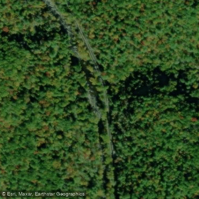
Little River Road Access
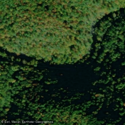
Little River Road Access
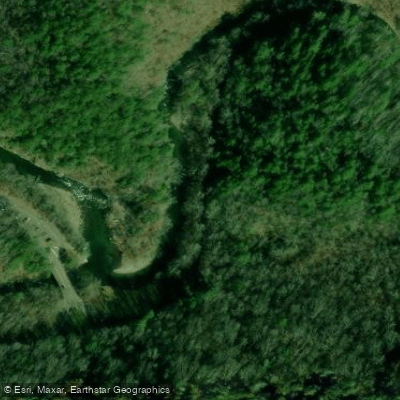
Roundtop Trailhead Access
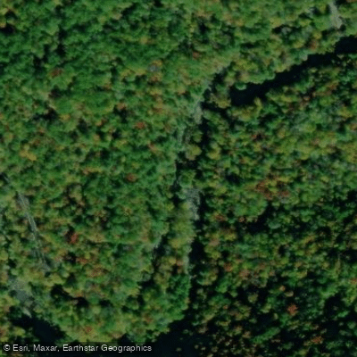
Little River Road Access
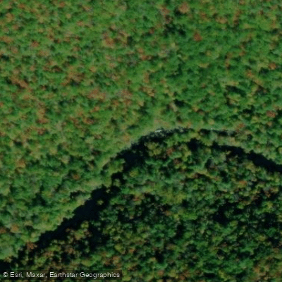
Little River Road Access
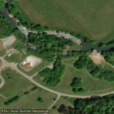
Alcoa Water Plant Access
Sevierville Road Access
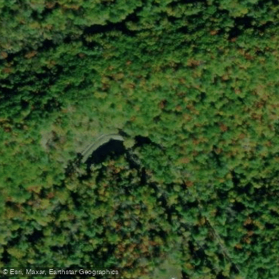
Elkmont Pullout Access
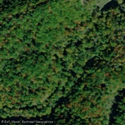
Elkmont Road Access
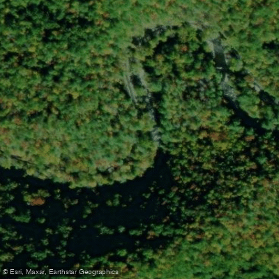
Little River Road Access
Paddle smarter with real-time insights
Whether you're en route and conditions shift or you're looking for the best spot based on current flows, we enable you to make informed decisions on the fly.








Find Places to Paddle

Over 400,000 Places to Paddle
Every user gets free access to launch points, boat ramps, and public property parcels.


Water and weather conditions (10 day forecast)
See the best times to paddle Little River and check the forecast before you go.
LITTLE RIVER ABOVE TOWNSEND, TN
All Flow Stations
Paddling near Little River

Tennessee River

French Broad River
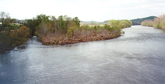
Holston River

Little Tennessee River
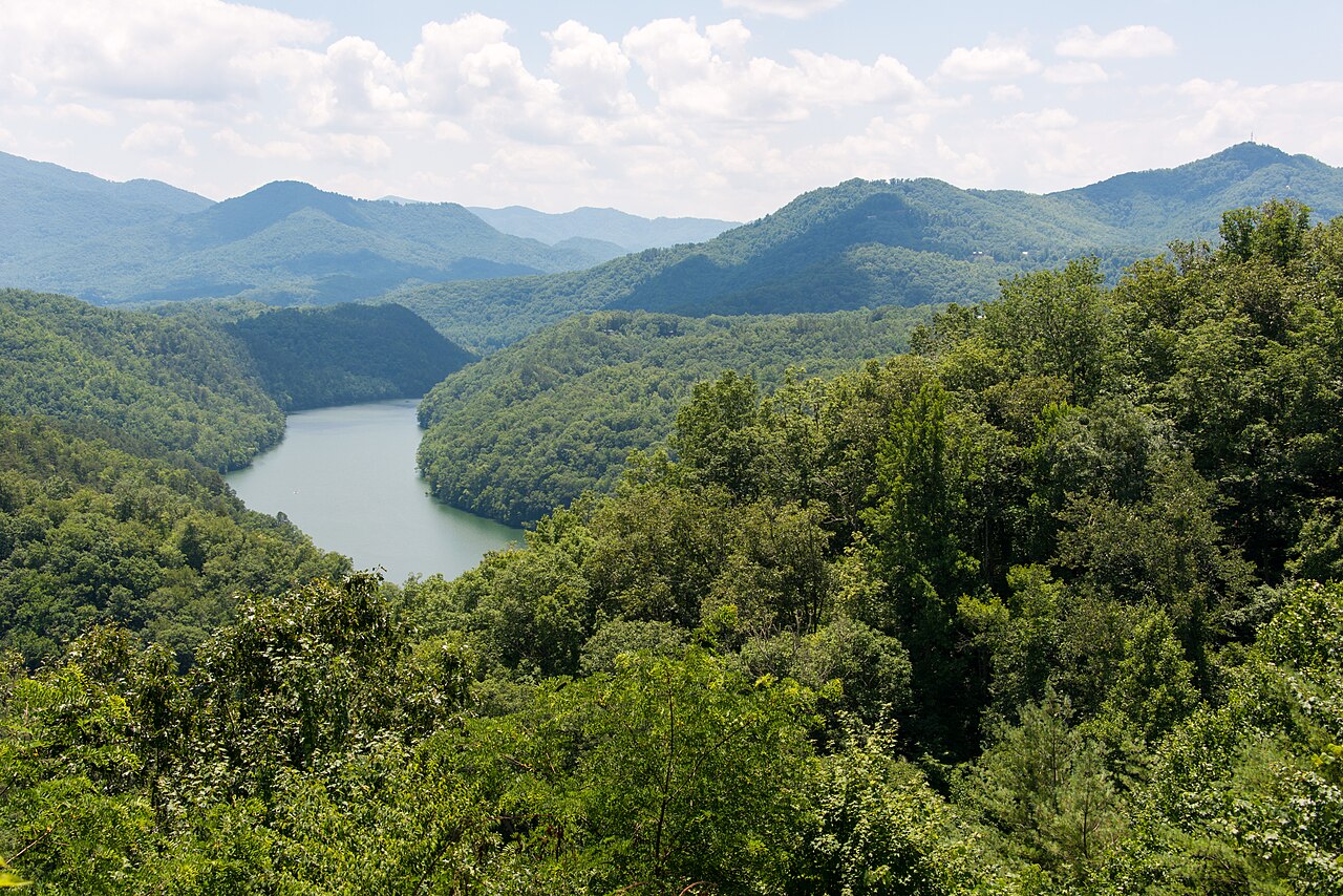
Tuckasegee River
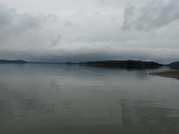
Douglas Lake
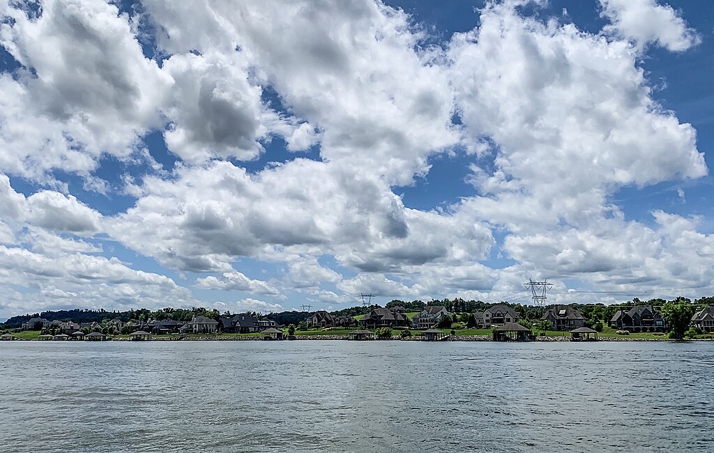
Fort Loudoun Lake
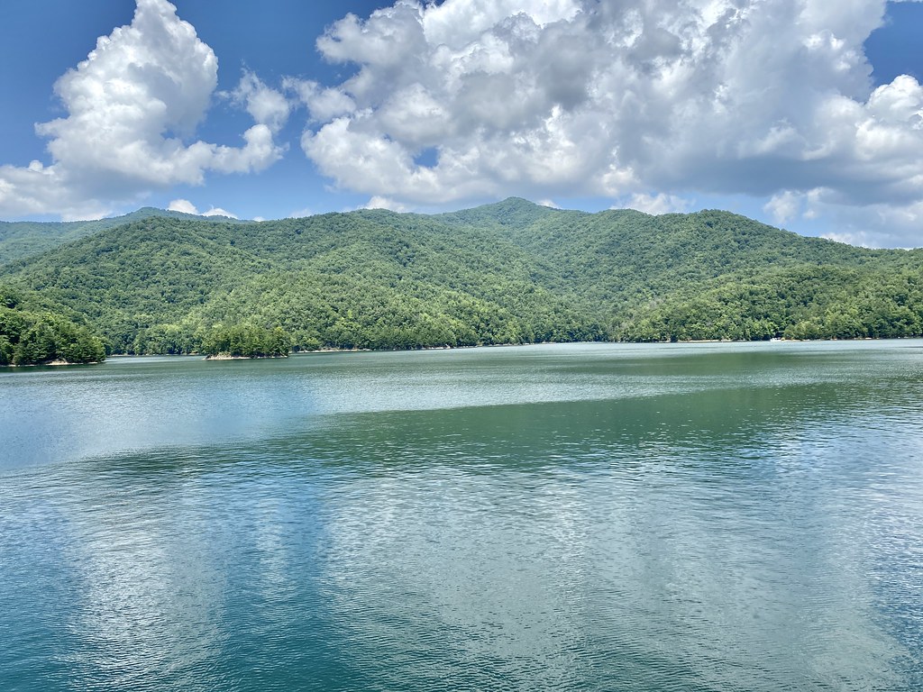
Fontana Lake
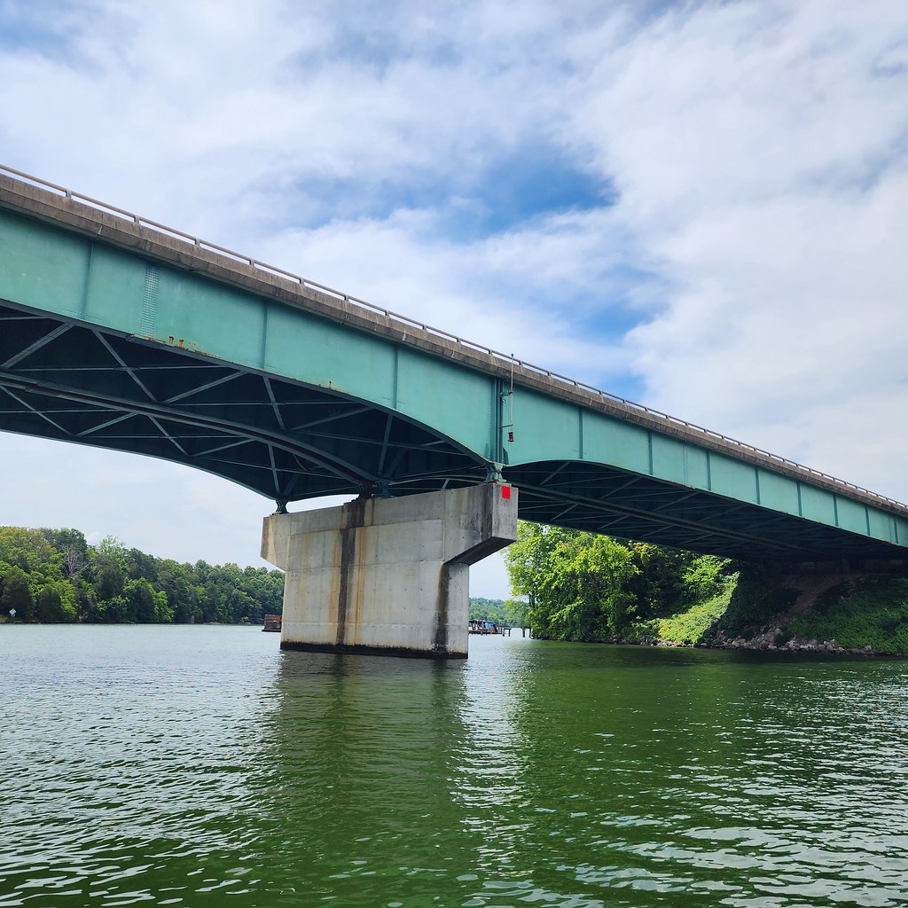
Tellico Lake
Explore Tennessee waters
Top paddling waters
Popular Cities
Loading popular cities...
Explore near Little River
Access points
- Little River Boat Ramp
- Walland Roadside Picnic Area Boat Ramp
- Bill Bennett Bridge Boat Ramp
- Peery's Mill Boat Ramp
- Little River Road Access
- Little River Road Access
- Roundtop Trailhead Access
- Little River Road Access
- Little River Road Access
- Alcoa Water Plant Access
- Elkmont Pullout Access
- Elkmont Road Access
- All 49 spots
Nearby waters
More in Tennessee

Smarter Paddling Starts in the App.
Paddleways gives you everything you need to plan smarter, paddle better, and own every trip from first launch to takeout.