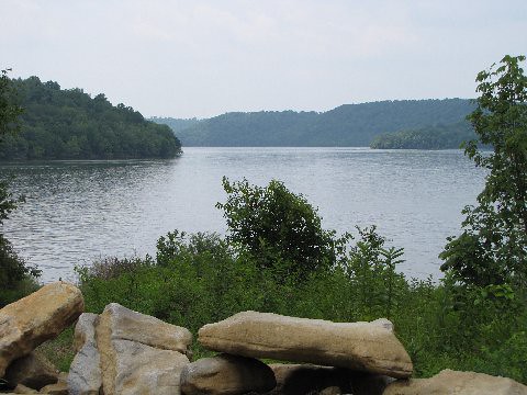
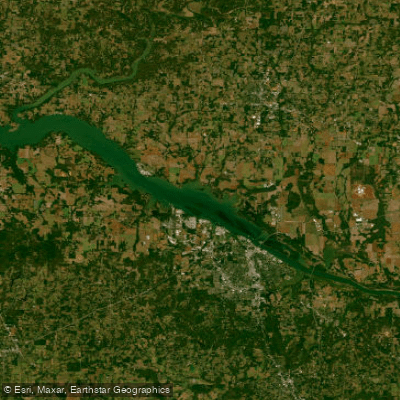
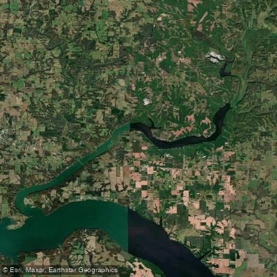
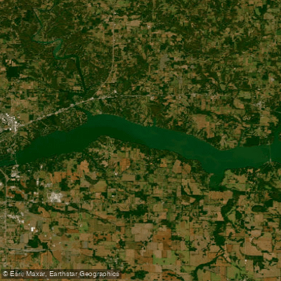
The Tennessee River is a majestic waterway that flows for 652 miles through the heart of the southeastern United States. Beginning in Knoxville, Tennessee, it winds its way through Alabama and Kentucky before joining the Ohio River in Paducah, Kentucky. This mighty river system, often referred to as the Tennessee River Valley, offers paddlers a diverse range of experiences, from urban adventures to pristine wilderness escapes.
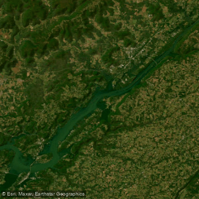
One of the most popular paddling sections is the Tennessee River Blueway, a 46-mile journey that begins downstream of Chickamauga Dam and ends at Nickajack Dam. This scenic route takes paddlers through the heart of Chattanooga's entertainment district before entering the breathtaking Tennessee River Gorge, aptly nicknamed the "Grand Canyon of the Tennessee." The gorge features towering, forested walls that provide a stunning backdrop for paddlers.
The Tennessee River caters to a wide range of skill levels, with most sections offering flatwater paddling suitable for beginners and families. However, some tributary creeks and rivers that feed into the Tennessee can provide more challenging whitewater experiences for advanced paddlers. The main river is generally calm and wide, making it ideal for canoes, kayaks, and even stand-up paddleboards.
While the river can be paddled year-round, spring and fall offer the most comfortable temperatures and beautiful scenery. Summer can be hot but provides longer days for extended trips, while winter paddling requires more preparation and caution due to colder temperatures.
The Tennessee River Valley boasts a rich ecosystem, home to diverse wildlife including herons, ospreys, bald eagles, and numerous fish species. Paddlers might spot turtles basking on logs or deer coming to the water's edge. The river's banks are often lined with hardwood forests, providing a colorful display in autumn.
Notable landmarks along the river include the iconic Walnut Street Bridge in Chattanooga, the U.S. Space & Rocket Center visible from the river in Huntsville, and numerous historic sites related to Native American history and the Civil War. The river passes through or near several major cities, including Knoxville, Chattanooga, and Huntsville, offering unique urban paddling experiences.
Access points are plentiful along the Tennessee River, with numerous boat ramps, parks, and campgrounds catering to paddlers. The Tennessee Valley Authority (TVA) manages several dams along the river, and paddlers should be aware of potential water level fluctuations and dam release schedules.
For those seeking multi-day adventures, the Tennessee River offers ample opportunities. The Tennessee RiverLine initiative is developing a continuous system of paddling, hiking, and biking experiences along the entire 652-mile reach of the river. This ambitious project aims to connect communities and provide diverse recreational opportunities for residents and visitors alike.
Safety is paramount when paddling the Tennessee River. Paddlers should always wear life jackets, be aware of weather conditions, and watch for commercial traffic, especially in more developed areas. It's also important to respect private property along the shoreline and use designated access points and camping areas.
The Tennessee River holds great historical and cultural significance, having been a major transportation route for Native Americans, early settlers, and later playing a crucial role in the Civil War. Today, it continues to be an important economic and recreational resource for the region, offering paddlers a chance to experience its beauty and history firsthand. Whether you're looking for a short day trip or an epic multi-day journey, the Tennessee River provides a paddling experience that combines natural beauty, rich history, and diverse landscapes, making it a premier destination for water enthusiasts in the southeastern United States.