Fort Loudoun Lake
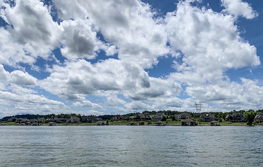
Fort Loudoun Lake
- Boat Ramps
- 20
- Access Points
- 37
- Campsites
- 2
Fort Loudoun Lake, part of the Upper Tennessee River system in Tennessee, offers 14,600 acres of water and 379 miles of shoreline for paddling adventures. The lake is formed by the Little Tennessee and Tellico Rivers, stretching 33 miles up the Little Tennessee. Paddlers can access the water via the kayak launch at Fort Loudoun State Historic Park, where kayaks and stand-up paddleboards are available for rent. The park provides paddles and life jackets.
The Island Loop Water Trail offers a scenic paddling route. Starting from the park's courtesy dock, paddlers hug the shoreline to avoid the main channel, passing the confluence of the Little Tennessee and Tellico Rivers. The trail continues under Highway TN-360, offering views of small coves, islands, and the Sequoyah Birthplace Museum. Paddlers should be prepared for high winds, whitecaps, and increased motorized boat traffic on the eastern side of the island.
Wildlife enthusiasts can spot great blue herons, loons, coots, hawks, Canada geese, and occasionally bald eagles. Deer are often seen along the water's edge. The route provides views of bluffs and the distant Unicoi Mountains as it flows into Tellico Lake.
Fort Loudoun Lake is known for excellent bass and catfishing, with bluegill, crappie, and sauger also present. The lake offers opportunities for swimming and birdwatching in addition to paddling. Surrounding communities like Knoxville, Alcoa, Maryville, and Lenoir City provide amenities and activities for paddlers.
Paddlers should note that there is no boat ramp at Fort Loudoun State Historic Park, and rentals may be unavailable during garrison weekends and special events. The lake's connection to commercial shipping via a 360-foot lock at Fort Loudoun Dam means paddlers should remain alert for larger vessel traffic.
Water access, boat ramps & amenities
Learn how to get on Fort Loudoun Lake. Uncover great paddling access points, boat ramps, and all the facilities you need for an unforgettable day on the water. Some locations shown may border or include private property. Always check property boundaries and applicable regulations before visiting. PaddleWays's Public & Private Land layer can help you plan your access with confidence.
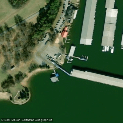
Fort Loudoun Marina Access
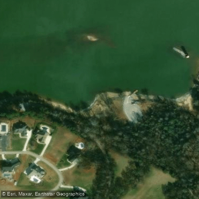
Lowes Ferry Access
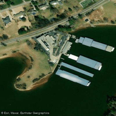
Fox Road Marina Access
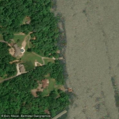
Choto Marina Access
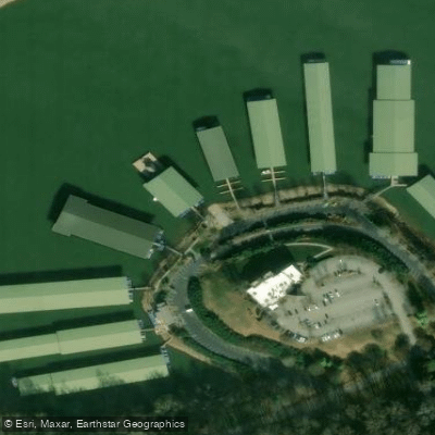
Concord Marina Access
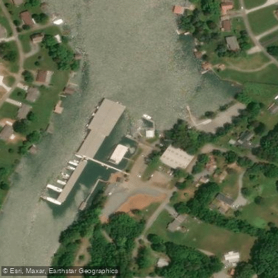
International Harbor Of Friendsville Access
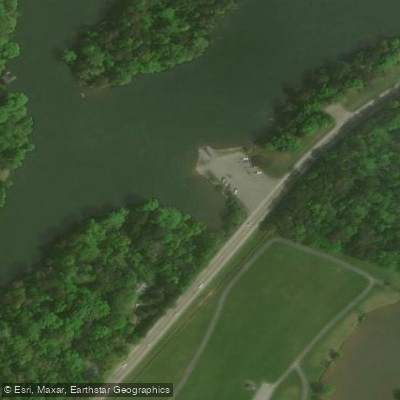
Georges Creek Access
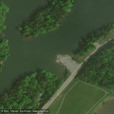
TWRA Access
McClure Lane Access
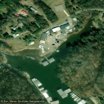
Fort Loudoun Yacht Club Access
Paddle smarter with real-time insights
Whether you're en route and conditions shift or you're looking for the best spot based on current flows, we enable you to make informed decisions on the fly.








Find Places to Paddle

Over 400,000 Places to Paddle
Every user gets free access to launch points, boat ramps, and public property parcels.


Water and weather conditions (10 day forecast)
See the best times to paddle Fort Loudoun Lake and check the forecast before you go.
No forecast data available.
Paddling near Fort Loudoun Lake

Tennessee River
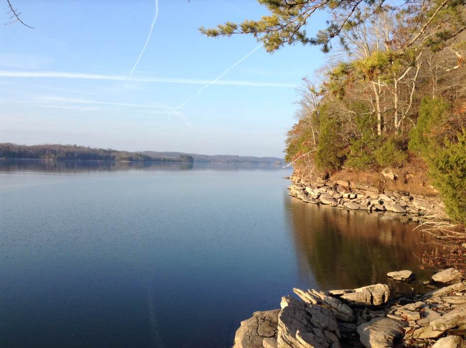
Watts Bar Lake
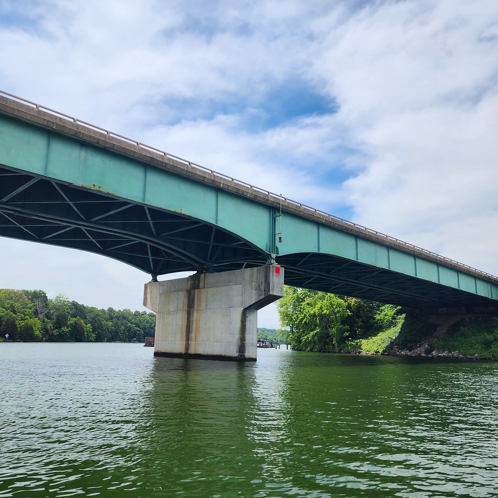
Tellico Lake
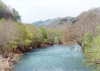
Clinch River

Little Tennessee River
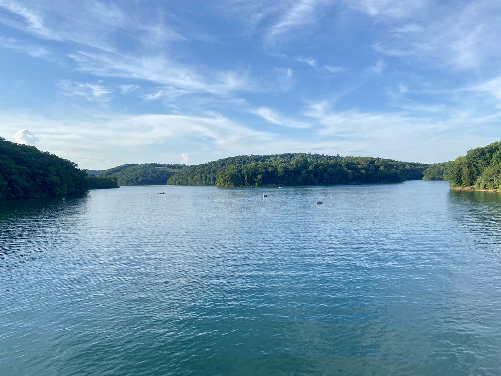
Norris Lake
Holston River

French Broad River
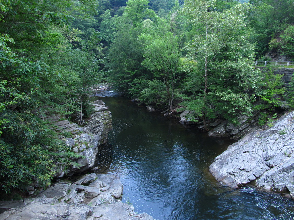
Little River
Explore Tennessee waters
Top paddling waters
Popular Cities
Loading popular cities...
Explore near Fort Loudoun Lake
Access points
Nearby waters
More in Tennessee

Smarter Paddling Starts in the App.
Paddleways gives you everything you need to plan smarter, paddle better, and own every trip from first launch to takeout.