Watauga Lake
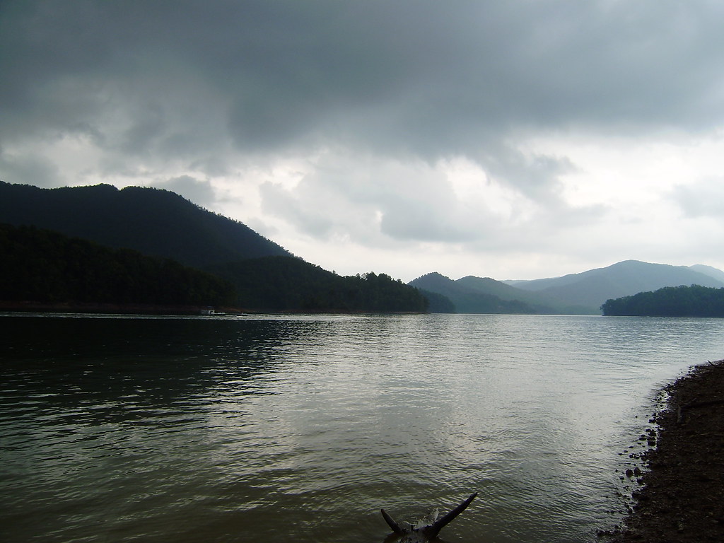
Watauga Lake
- Boat Ramps
- 15
- Access Points
- 26
- Campsites
- 8
Watauga Lake, nestled in the Appalachian Mountains of northeastern Tennessee, offers paddlers a scenic mountain lake experience. Covering 6,430 acres with 104.9 miles of shoreline, Watauga sits at an elevation of 1,959 feet, making it the highest reservoir in Tennessee. The lake's steep, forested shoreline and limited development contribute to its pristine character.
Paddlers can access the lake at several public boat ramps, including Rat Branch Recreation Area and Sink Mountain Boat Launch. The lake's clear waters make it ideal for swimming, with water temperatures typically comfortable from late spring through early fall. Watauga Lake's ecological health is rated as "good" by the TVA.
Wildlife viewing opportunities abound, with paddlers likely to spot bald eagles, blue herons, deer, and possibly even bears. The lake's forested surroundings, part of Cherokee National Forest, provide a backdrop of natural beauty. Fall foliage viewing can be spectacular from the water.
The Appalachian Trail crosses the southwestern tip of the lake, offering hikers a chance to combine paddling with a section of this famous trail. Paddlers should be aware that the lake's water level can fluctuate seasonally by 10 feet or more, which may affect access points and shoreline features.
Facilities for paddlers are limited, with just a few seasonal marinas and restaurants along the shoreline. Campsites are available for those planning multi-day paddling trips. The lake's relatively remote location and limited amenities contribute to a quiet, uncrowded paddling experience even during peak summer months.
Water access, boat ramps & amenities
Learn how to get on Watauga Lake. Uncover great paddling access points, boat ramps, and all the facilities you need for an unforgettable day on the water. Some locations shown may border or include private property. Always check property boundaries and applicable regulations before visiting. PaddleWays's Public & Private Land layer can help you plan your access with confidence.
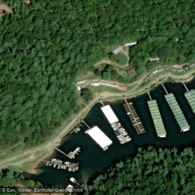
Mallard Cove Marina Access
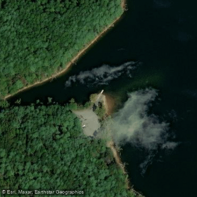
Ray Reagan Access
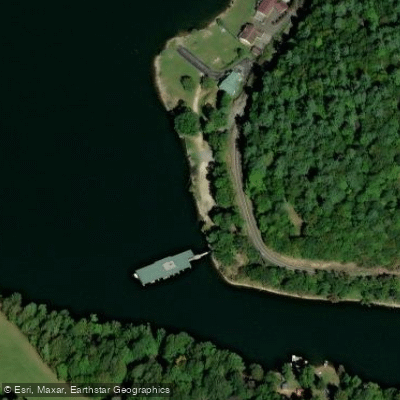
Midway Boat Dock Access
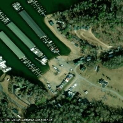
Fish Springs Dock Access
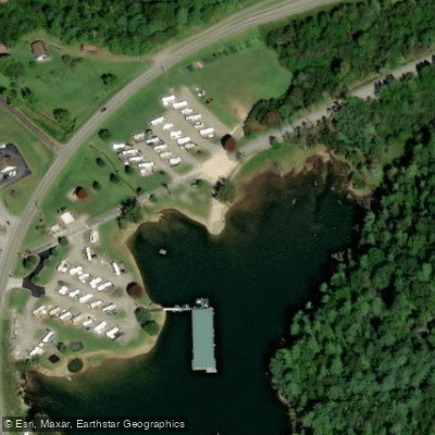
Watauga Lake Access
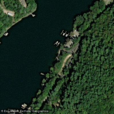
Pappy's Marina Access
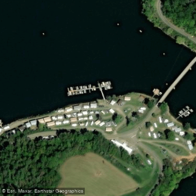
Pioneer Landing Access
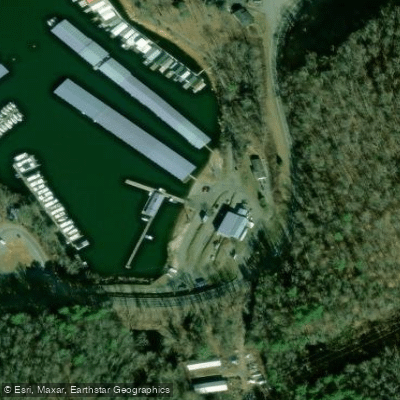
Watauga Lakeshores Marina Access
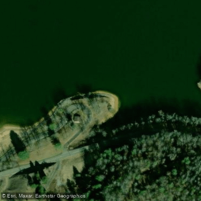
Shook Branch Day Use Area Access
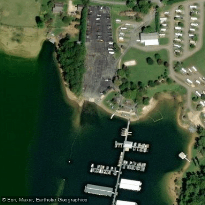
Cove Ridge Marina Access
Paddle smarter with real-time insights
Whether you're en route and conditions shift or you're looking for the best spot based on current flows, we enable you to make informed decisions on the fly.








Find Places to Paddle

Over 400,000 Places to Paddle
Every user gets free access to launch points, boat ramps, and public property parcels.


Water and weather conditions (10 day forecast)
See the best times to paddle Watauga Lake and check the forecast before you go.
No forecast data available.
Paddling near Watauga Lake
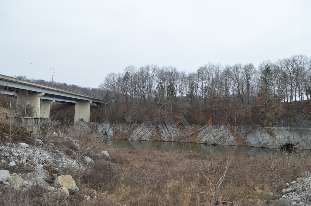
Boone Lake
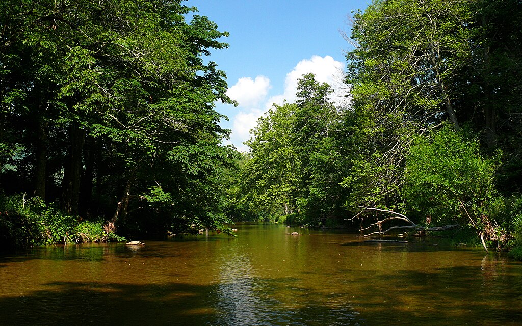
Watauga River
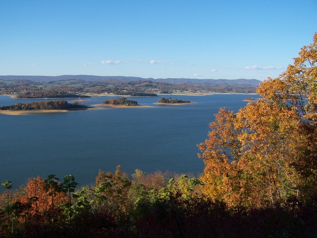
Cherokee Lake

South Holston Lake
Holston River
Clinch River

French Broad River
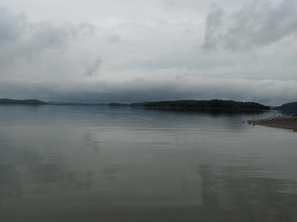
Douglas Lake
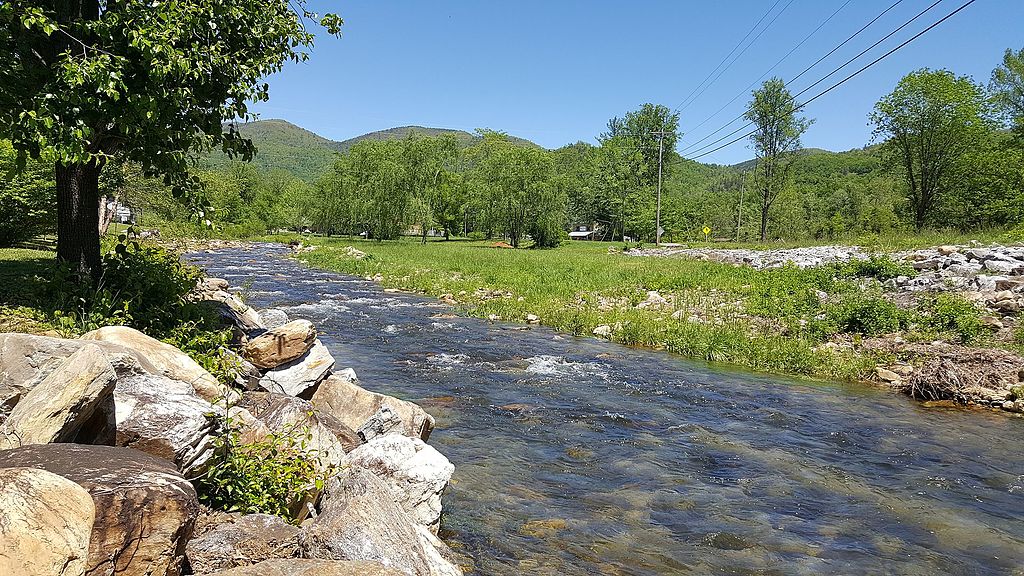
Catawba River
Explore Tennessee waters
Top paddling waters
Popular Cities
Loading popular cities...
Explore near Watauga Lake
Access points
Nearby waters
More in Tennessee

Smarter Paddling Starts in the App.
Paddleways gives you everything you need to plan smarter, paddle better, and own every trip from first launch to takeout.