Cherokee Lake
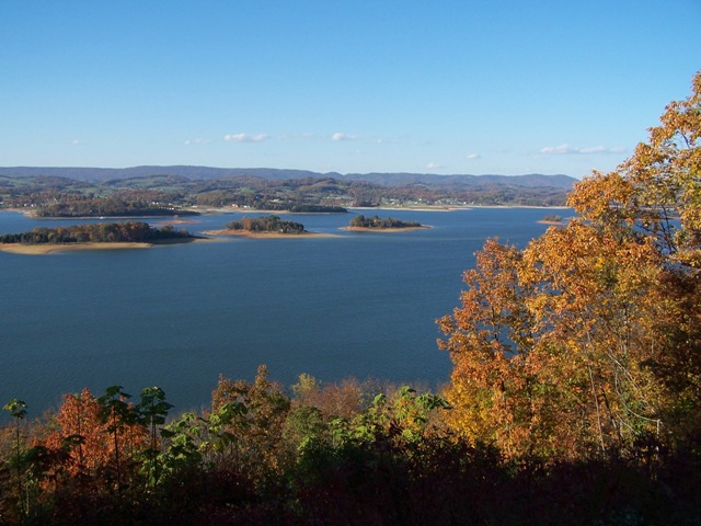
Cherokee Lake
- Boat Ramps
- 38
- Access Points
- 54
- Campsites
- 5
Cherokee Lake is a large 28,780-acre reservoir in eastern Tennessee, offering diverse paddling opportunities. The lake features over 30 access areas, providing ample put-in and take-out options for paddlers. Notable among these is Panther Creek State Park, which offers campgrounds, picnic areas, and hiking trails in addition to water access.
The lake is characterized by numerous scenic islands that become exposed as water levels drop, creating interesting exploration opportunities for paddlers. Water levels can fluctuate significantly, particularly in winter when the Tennessee Valley Authority lowers the reservoir. Water clarity tends to be better near the dam area.
Cherokee Lake is renowned for its fishing, particularly smallmouth bass. In 2021, a state record 109-pound paddlefish was caught here, highlighting the diverse aquatic life paddlers may encounter. Wildlife viewing opportunities include various bird species and the possibility of seeing deer along the shoreline.
While the lake allows motorized boating, including wakeboarding and water skiing, paddlers can find quieter areas, especially around the islands. Lakeside Marina on Route 25E is a hub for boat rentals and services, which may be useful for paddlers seeking additional equipment or information.
The surrounding landscape offers a mix of wooded areas and open water vistas, providing an aesthetically pleasing backdrop for paddling excursions. The lake's size and numerous coves allow for both short outings and extended day trips.
The lake can become busy during peak summer months, particularly in areas near marinas and popular access points. Early morning or weekday paddles may offer a more serene experience. As with all large bodies of water, wind conditions can change rapidly, and paddlers should be prepared for potential choppy waters.
Water access, boat ramps & amenities
Learn how to get on Cherokee Lake. Uncover great paddling access points, boat ramps, and all the facilities you need for an unforgettable day on the water. Some locations shown may border or include private property. Always check property boundaries and applicable regulations before visiting. PaddleWays's Public & Private Land layer can help you plan your access with confidence.
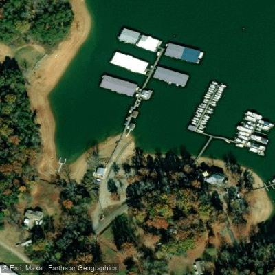
Black Oak Dock Access
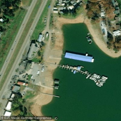
Lakeside Marina Access
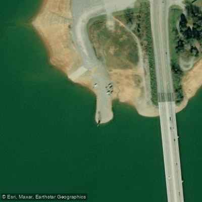
25-e Bridge Access
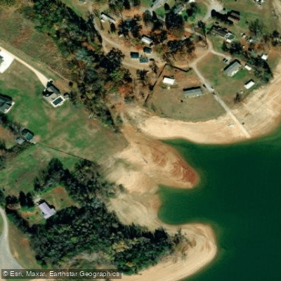
Unnamed Water Access
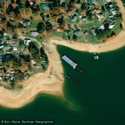
Wa-ni Village Access
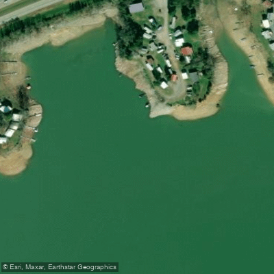
Cherokee Marina Access
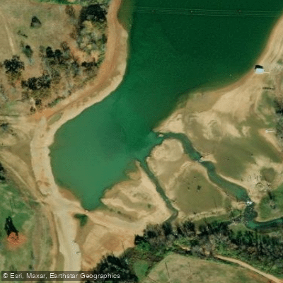
Mossy Creek Access
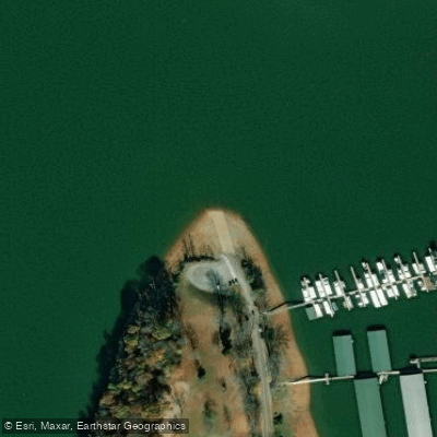
Hamblen Access
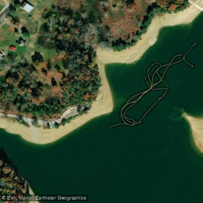
Oakland Hollow Access
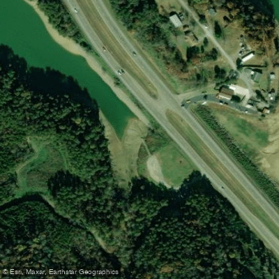
Circle Park Access
Paddle smarter with real-time insights
Whether you're en route and conditions shift or you're looking for the best spot based on current flows, we enable you to make informed decisions on the fly.








Find Places to Paddle

Over 400,000 Places to Paddle
Every user gets free access to launch points, boat ramps, and public property parcels.


Water and weather conditions (10 day forecast)
See the best times to paddle Cherokee Lake and check the forecast before you go.
No forecast data available.
Paddling near Cherokee Lake
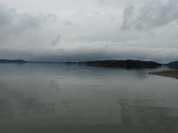
Douglas Lake
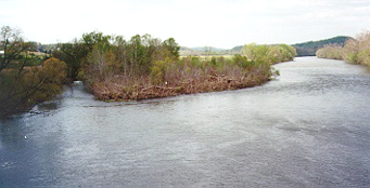
Holston River

French Broad River
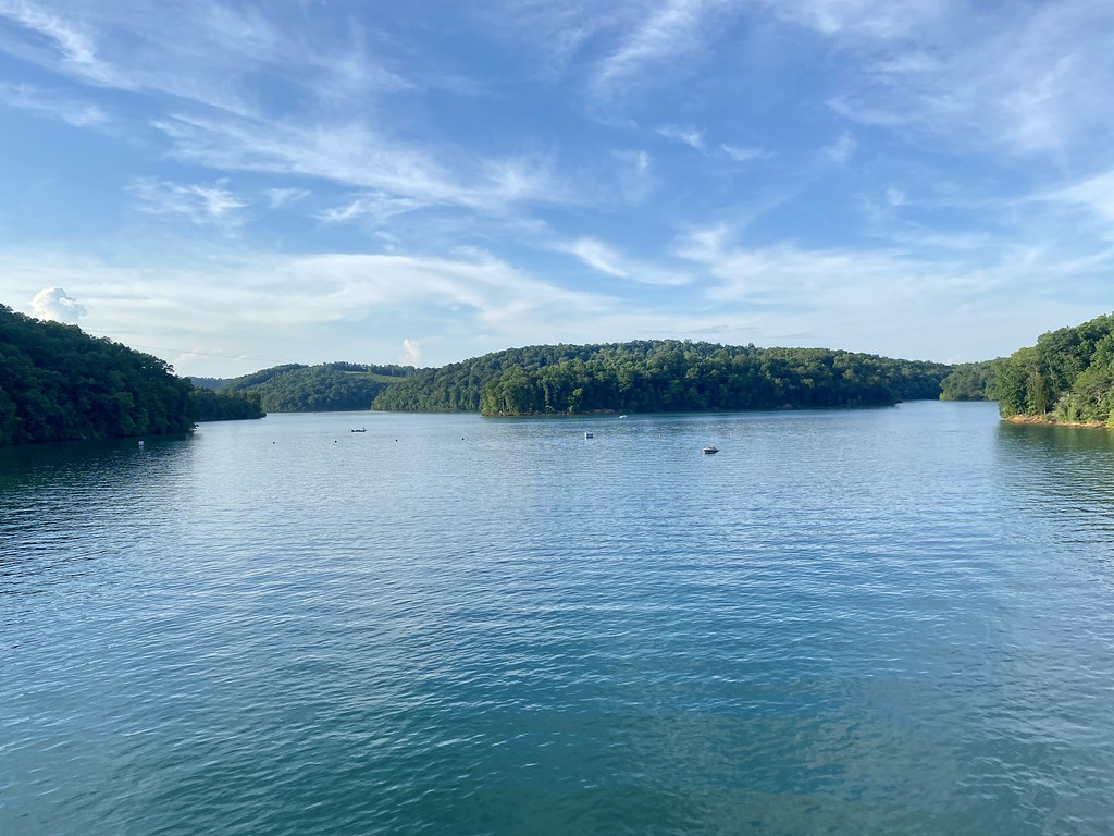
Norris Lake
Clinch River
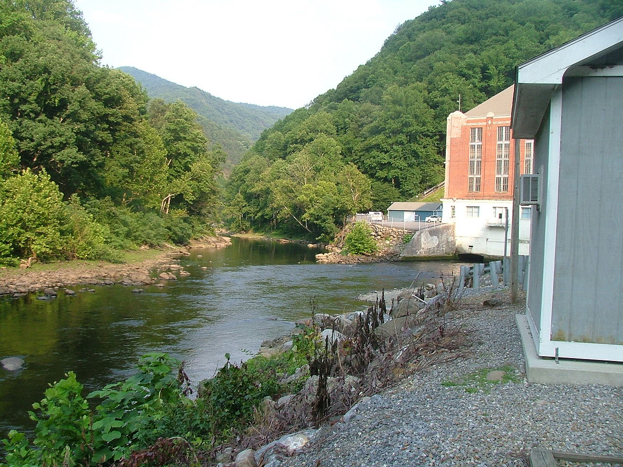
Pigeon River
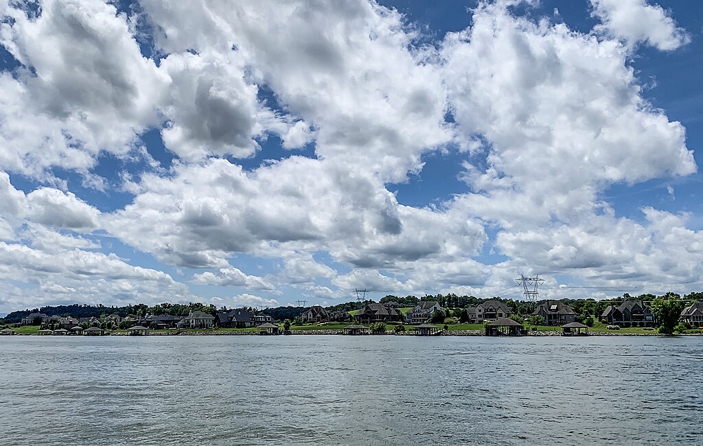
Fort Loudoun Lake

Tennessee River
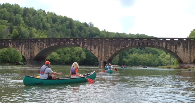
Cumberland River
Explore Tennessee waters
Top paddling waters
Popular Cities
Loading popular cities...
Explore near Cherokee Lake
Access points
- Cardinal Cove Resort Boat Ramp
- Greenlee Campground May Springs Boat Ramp
- Kidwells Ridge Boat Ramp
- Greenlee Campground Boat Ramp
- German Creek Boat Ramp
- Gilmore Dock Boat Ramp
- Boat Ramp
- Twin Churches Boat Ramp
- Panther Creek Park Boat Ramp
- Byrd Branch Boat Ramp
- Oakland Hollow Boat Ramp
- Tate Springs Boat Ramp
- All 62 spots
Nearby waters
More in Tennessee

Smarter Paddling Starts in the App.
Paddleways gives you everything you need to plan smarter, paddle better, and own every trip from first launch to takeout.