Clinch River
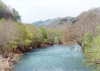
Clinch River
- Boat Ramps
- 21
- Access Points
- 34
- Campsites
- 10
The Clinch River is a remarkable waterway that flows for over 300 miles from its headwaters in southwestern Virginia through the scenic Appalachian Mountains before entering Tennessee. Known for its exceptional biodiversity and scenic beauty, the Clinch offers paddlers a diverse range of experiences, from peaceful flatwater stretches to challenging whitewater sections.
The river can be broadly divided into two main paddling regions: the upper Clinch in Virginia and the lower Clinch in Tennessee. In Virginia, the river features a mix of calm stretches interspersed with Class I-III rapids, making it suitable for paddlers of various skill levels. Notable sections include the popular 18-mile stretch from St. Paul to Clinchport, which offers a relaxing journey through the beautiful Clinch River Valley.
For more experienced paddlers, the 8-mile Clinch River Gorge from Pucketts Hole to Nash Ford provides a thrilling Class I-III whitewater experience amidst stunning scenery. As the Clinch enters Tennessee, it becomes impounded by several dams, creating a series of reservoirs and tailwaters. The 13-mile tailwater section below Norris Dam is particularly popular among anglers and paddlers, offering excellent trout fishing and scenic flatwater paddling opportunities.
Further downstream, the Pellissippi Blueway provides over 50 miles of continuous flatwater paddling from Oak Ridge to Kingston, ideal for multi-day trips and wildlife viewing. The Clinch River's difficulty ranges from flatwater to Class III rapids, with a few isolated Class IV-V sections on tributaries like the Guest River. This variety makes the Clinch suitable for beginners and families on its calmer stretches, while still offering challenges for more experienced paddlers in its whitewater sections.
Spring and fall are generally the best seasons for paddling the Clinch, offering comfortable temperatures and reliable water levels. Summer can be enjoyable for flatwater sections, but paddlers should be aware of potential low water conditions in some areas. Winter paddling is possible but requires proper cold-water gear and experience.
The river is renowned for its incredible biodiversity, hosting an array of rare aquatic species, including numerous endangered freshwater mussels and fish. Wildlife enthusiasts may spot river otters, bald eagles, and a variety of waterfowl along the shores. The surrounding landscape features a mix of scenic gorges, pastoral farmland, and forested hills typical of the Appalachian region.
Several towns provide convenient access points along the river, including St. Paul, Cleveland, and Clinchport in Virginia, and Clinton and Oak Ridge in Tennessee. These communities offer amenities for paddlers, including outfitters, shuttle services, and accommodations.
Historically, the Clinch River played a significant role in the exploration and settlement of southwestern Virginia and eastern Tennessee. Today, it continues to be an important cultural and recreational resource for the region, with efforts underway to develop it as a comprehensive blueway trail.
Safety considerations include checking water levels and release schedules, especially in dam-controlled sections. Paddlers should be aware of strainers and other natural hazards, particularly in the river's more remote sections. Life jackets are required, and paddlers should always inform someone of their trip plans.
For those seeking a multi-day adventure, the developing blueway from Cleveland to Clinchport in Virginia offers a 60-mile journey with multiple access points, allowing paddlers to customize their trip length. In Tennessee, the Pellissippi Blueway provides excellent opportunities for extended flatwater trips.
The Clinch River stands out as a premier paddling destination in the Appalachian region, offering a perfect blend of natural beauty, diverse paddling experiences, and rich ecological and cultural significance.
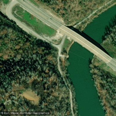
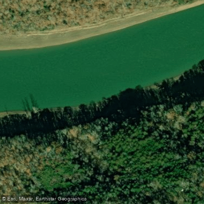
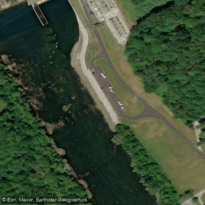
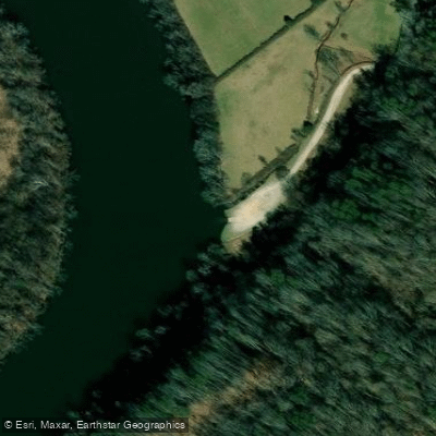
Water access, boat ramps & amenities
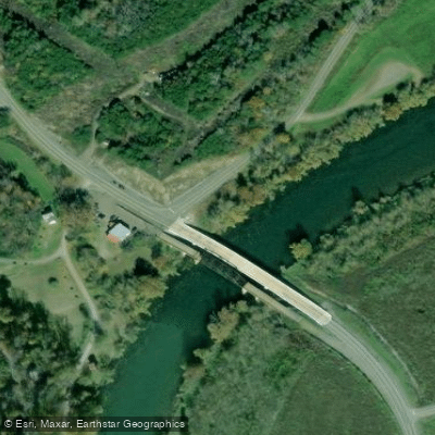
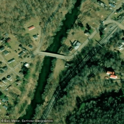
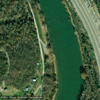
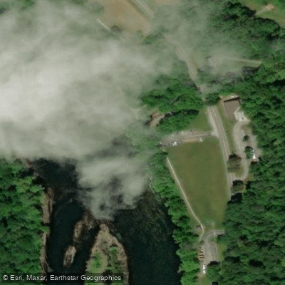
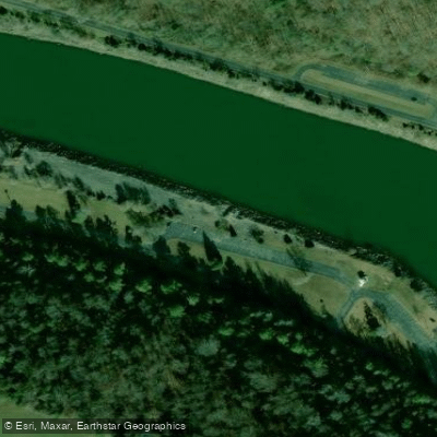
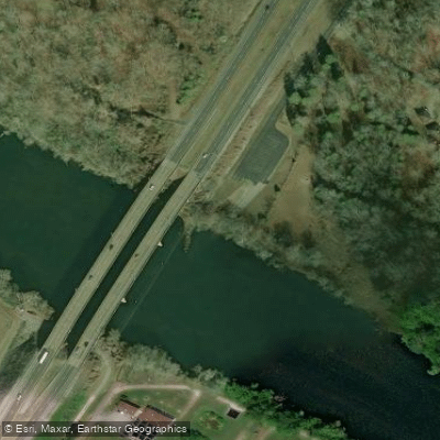
Learn how to get on Clinch River. Uncover great paddling access points, boat ramps, and all the facilities you need for an unforgettable day on the water. Some locations shown may border or include private property. Always check property boundaries and applicable regulations before visiting. PaddleWays's Public & Private Land layer can help you plan your access with confidence.
Paddle smarter with real-time insights
Whether you're en route and conditions shift or you're looking for the best spot based on current flows, we enable you to make informed decisions on the fly.








Find Places to Paddle

Over 400,000 Places to Paddle
Every user gets free access to launch points, boat ramps, and public property parcels.


Water and weather conditions (10 day forecast)
See the best times to paddle Clinch River and check the forecast before you go.
CLINCH RIVER ABOVE TAZEWELL, TN
All Flow Stations
Paddling near Clinch River
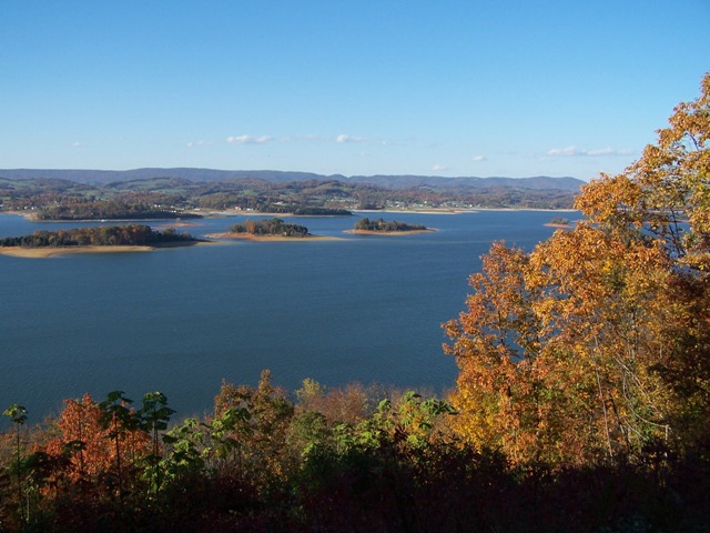
Cherokee Lake
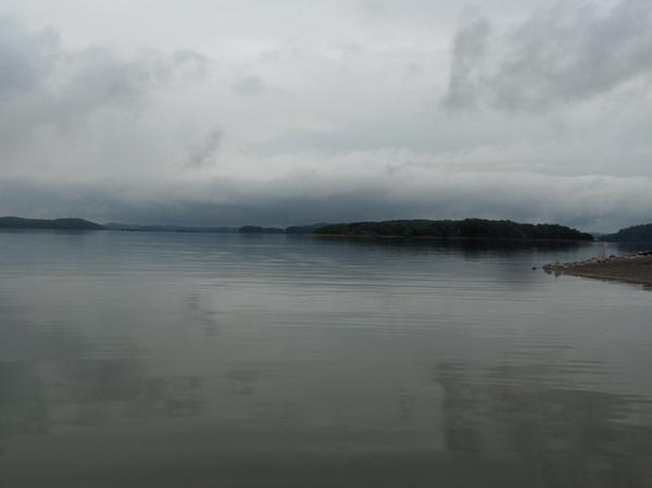
Douglas Lake
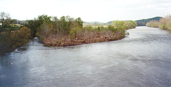
Holston River

French Broad River
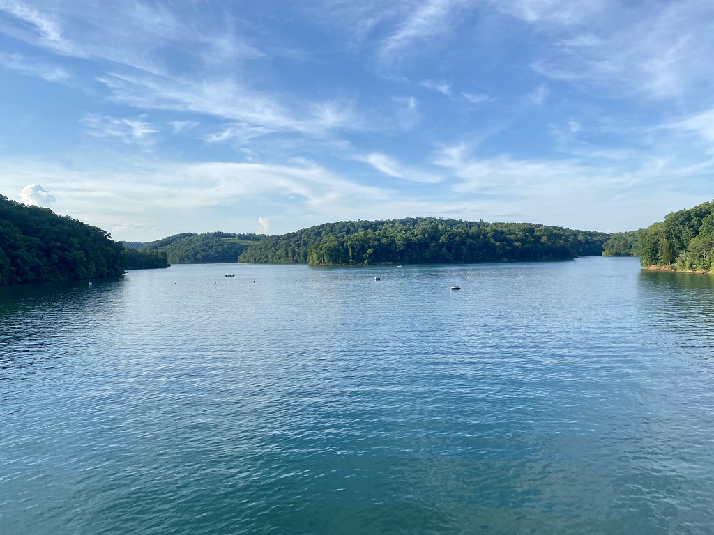
Norris Lake
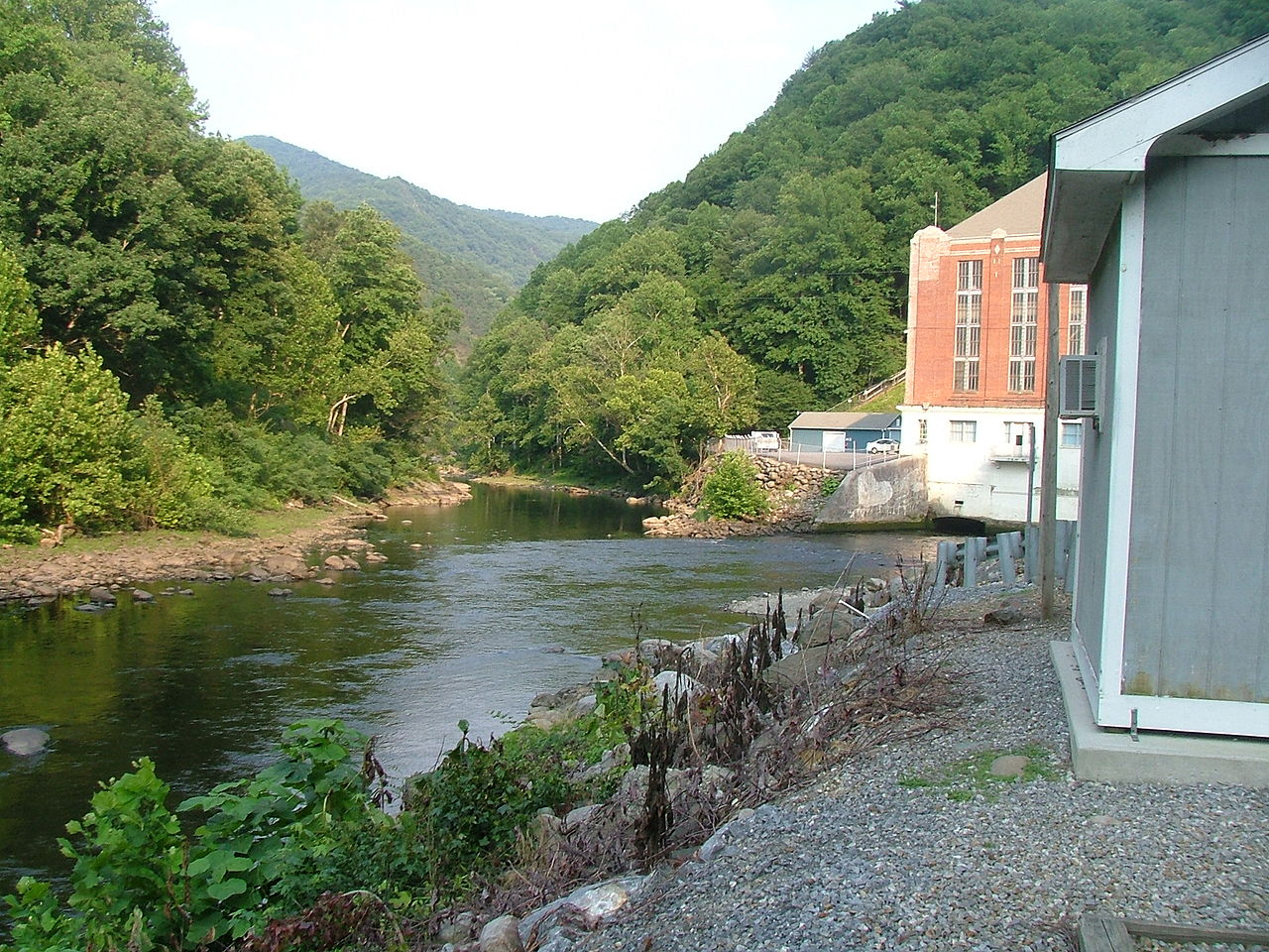
Pigeon River
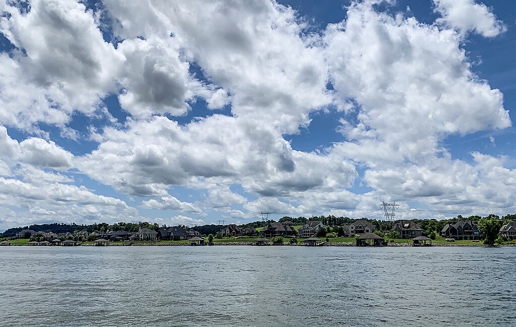
Fort Loudoun Lake

Tennessee River
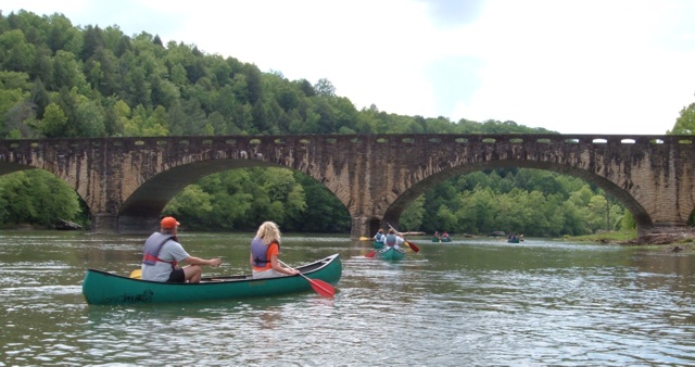
Cumberland River
Explore Tennessee waters
Top paddling waters
Popular Cities
Loading popular cities...
Explore near Clinch River
Access points
Nearby waters
More in Tennessee

Smarter Paddling Starts in the App.
Paddleways gives you everything you need to plan smarter, paddle better, and own every trip from first launch to takeout.