Lake J B Thomas
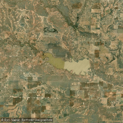
Lake J B Thomas
- Boat Ramps
- 5
- Access Points
- 5
- Campsites
- 0
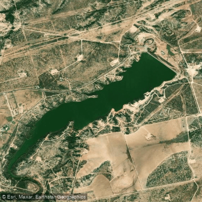
Lake J.B. Thomas is a 7,282-acre reservoir located in west-central Texas, approximately 70 miles northeast of Midland. Created in 1952, the lake has 88 miles of shoreline and experiences seasonal fluctuations in water levels due to rainfall and river flows. The Colorado River Municipal Water District manages five parks around the lake that provide access for paddlers and other recreational users.
The lake offers opportunities for kayaking, canoeing, and stand-up paddleboarding. While there are no designated paddling trails, the large surface area and numerous coves provide ample space for exploration. Paddlers should be aware that the lake can become choppy in windy conditions due to its size and open water.
Swimming is allowed, but there are no designated swimming areas. The lake's water quality is generally good, though clarity can vary seasonally. Paddlers may encounter submerged hazards like stumps or rock outcroppings, particularly when water levels are low.
Fishing is popular at Lake J.B. Thomas, with largemouth bass and channel catfish being common catches. In recent years, the lake has produced some impressive record fish, including a 10-pound largemouth bass in 2020. Wildlife observers may spot various bird species along the shoreline.
Basic amenities for paddlers include boat ramps, restrooms, and primitive campgrounds. However, the lake lacks rental facilities, so visitors must bring their own watercraft and supplies. The shoreline has limited shade, so paddlers should come prepared for sun exposure.
Access to Lake J.B. Thomas requires a parking pass from the water district. While powerboats are allowed, creating potential wake hazards for paddlers, the lake's large size typically allows for finding quieter areas. The best seasons for paddling are spring and fall when temperatures are milder.
Water access, boat ramps & amenities
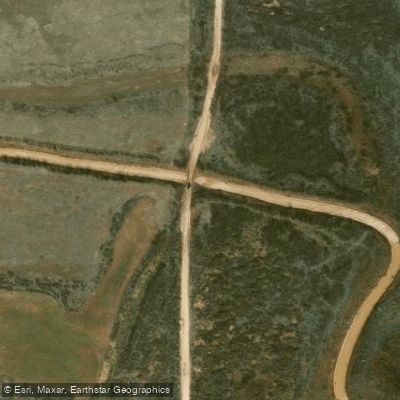
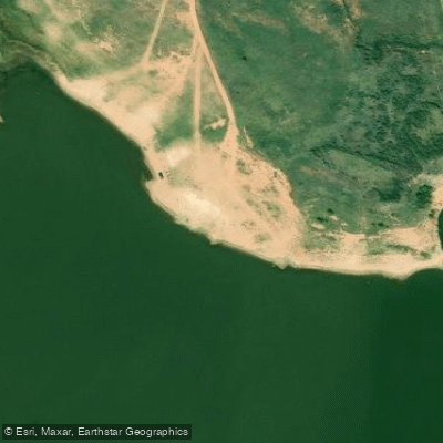
Learn how to get on Lake J B Thomas. Uncover great paddling access points, boat ramps, and all the facilities you need for an unforgettable day on the water. Some locations shown may border or include private property. Always check property boundaries and applicable regulations before visiting. PaddleWays's Public & Private Land layer can help you plan your access with confidence.
Paddle smarter with real-time insights
Whether you're en route and conditions shift or you're looking for the best spot based on current flows, we enable you to make informed decisions on the fly.








Find Places to Paddle

Over 400,000 Places to Paddle
Every user gets free access to launch points, boat ramps, and public property parcels.


Water and weather conditions (10 day forecast)
See the best times to paddle Lake J B Thomas and check the forecast before you go.
Colorado Rv nr Gail, TX
Explore Texas waters
Top paddling waters
Popular Cities
Loading popular cities...
Explore near Lake J B Thomas

Smarter Paddling Starts in the App.
Paddleways gives you everything you need to plan smarter, paddle better, and own every trip from first launch to takeout.