Sam Rayburn Reservoir
Sam Rayburn Reservoir
- Boat Ramps
- 41
- Access Points
- 49
- Campsites
- 10
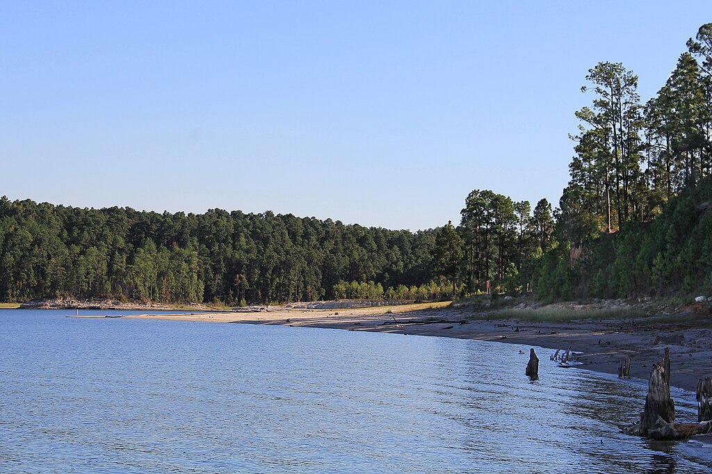
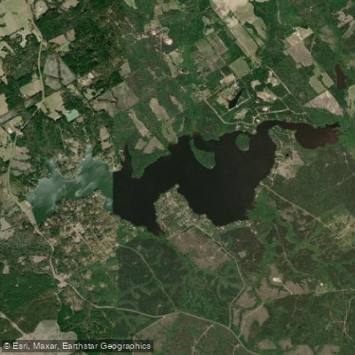
Sam Rayburn Reservoir is the largest lake entirely within Texas, covering 114,500 acres with over 750 miles of shoreline. Located in the Piney Woods of East Texas, it offers a scenic paddling experience surrounded by pine and hardwood forests. The lake's size and snaking shape with two main forks provide diverse paddling opportunities.
Access is plentiful, with 22 maintained access areas around the reservoir offering boat ramps. Some ramps may be unusable during low water, so checking conditions in advance is advisable. The U.S. Army Corps of Engineers manages 560 miles of shoreline, with the U.S. Forest Service overseeing the remainder.
Paddlers should be aware of potential hazards including alligators, fallen trees in paddling trails, and boat traffic from fishing tournaments and recreational boaters. The lake is renowned for bass fishing, hosting numerous tournaments throughout the year.
Water activities are popular in summer, with water temperatures reaching the high 80s Fahrenheit. Spring and fall offer milder conditions. The lake features clear, stained water, providing good visibility.
Notable sights include the submerged ghost town of Zana and the surrounding Angelina and Sabine National Forests. Wildlife viewing opportunities abound, with various bird species and aquatic life. The John D. Parker East Texas State Fish Hatchery on the southeastern edge offers educational tours.
Facilities for paddlers include campgrounds, some with electrical hookups and shower facilities. Several parks operated by various agencies provide additional amenities. Marinas are located primarily on the north and south ends of the lake.
Paddlers can explore narrow, winding trails shaded by forest, though fallen trees may present occasional obstacles. The lake's size allows for extended trips, but paddlers should be prepared for potentially choppy conditions on open water.
Water access, boat ramps & amenities
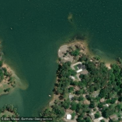
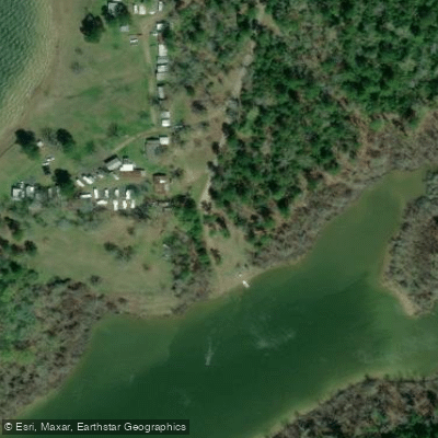
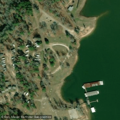
Learn how to get on Sam Rayburn Reservoir. Uncover great paddling access points, boat ramps, and all the facilities you need for an unforgettable day on the water. Some locations shown may border or include private property. Always check property boundaries and applicable regulations before visiting. PaddleWays's Public & Private Land layer can help you plan your access with confidence.
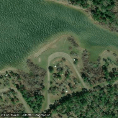
Paddle smarter with real-time insights
Whether you're en route and conditions shift or you're looking for the best spot based on current flows, we enable you to make informed decisions on the fly.








Find Places to Paddle

Over 400,000 Places to Paddle
Every user gets free access to launch points, boat ramps, and public property parcels.


Water and weather conditions (10 day forecast)
See the best times to paddle Sam Rayburn Reservoir and check the forecast before you go.
No forecast data available.
Paddling near Sam Rayburn Reservoir
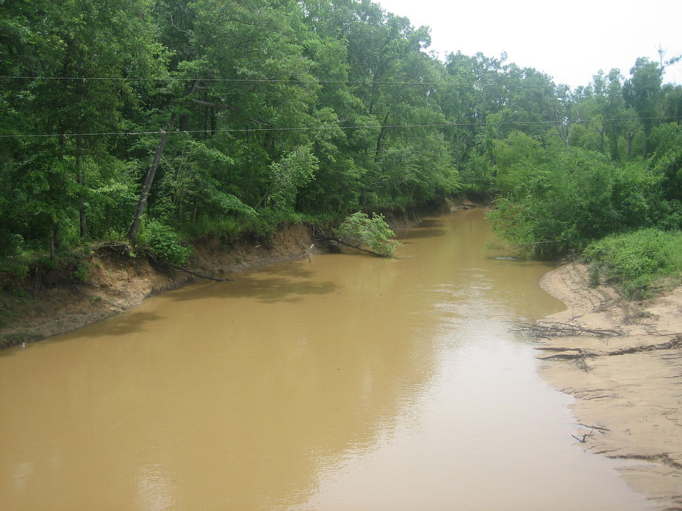
Angelina River
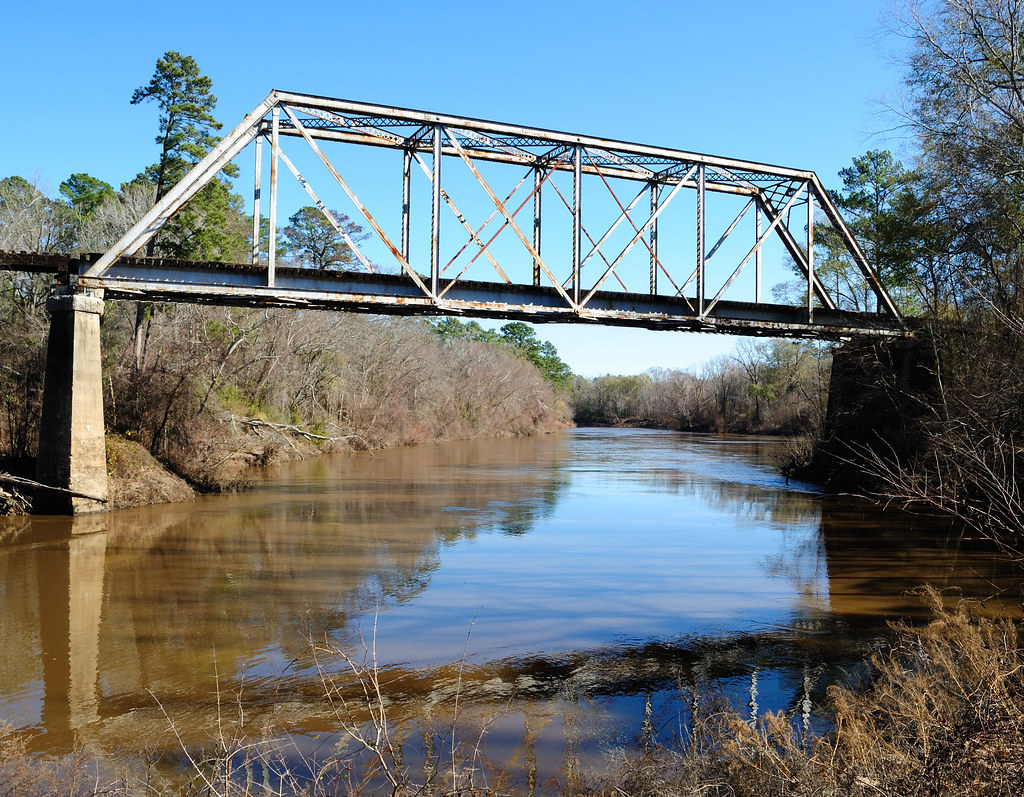
Neches River
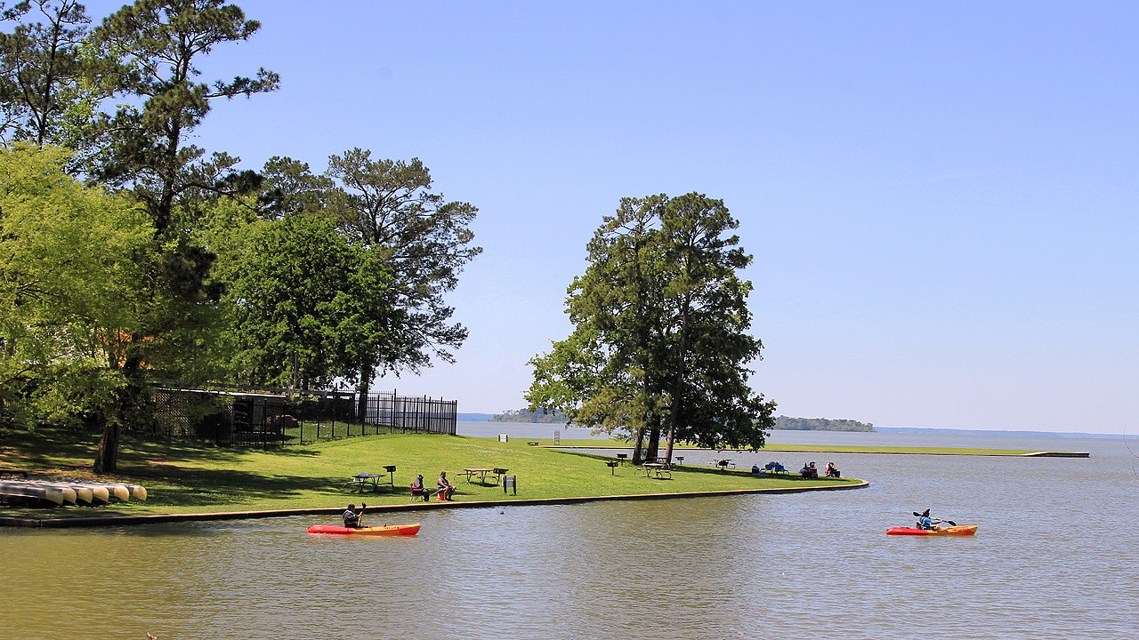
Lake Livingston

Trinity River
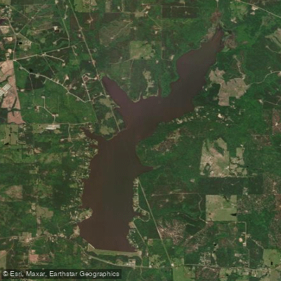
Lake Nacogdoches
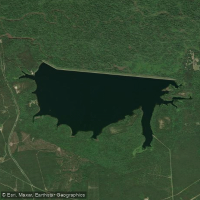
Lake Kurth
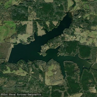
Pinkston Reservoir
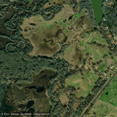
Attoyac River
Houston County Lake
Explore Texas waters
Top paddling waters
Popular Cities
Loading popular cities...
Explore near Sam Rayburn Reservoir
Access points
- Lake Sam Rayburn Boat Ramp
- Poe Marion's Ferry Boat Ramp
- Sam Rayburn Boat Ramp
- Sam Rayburn Boat Ramp
- Townsend Park Boat Ramp
- Lake Sam Rayburn Boat Ramp
- Lake Sam Rayburn Boat Ramp
- Sam Rayburn Boat Ramp
- Lake Sam Rayburn Boat Ramp
- Sam Rayburn Boat Ramp
- Lake Sam Rayburn Boat Ramp
- Lake Sam Rayburn Boat Ramp
- All 68 spots
Nearby waters
More in Texas

Smarter Paddling Starts in the App.
Paddleways gives you everything you need to plan smarter, paddle better, and own every trip from first launch to takeout.