Paddling in Texas
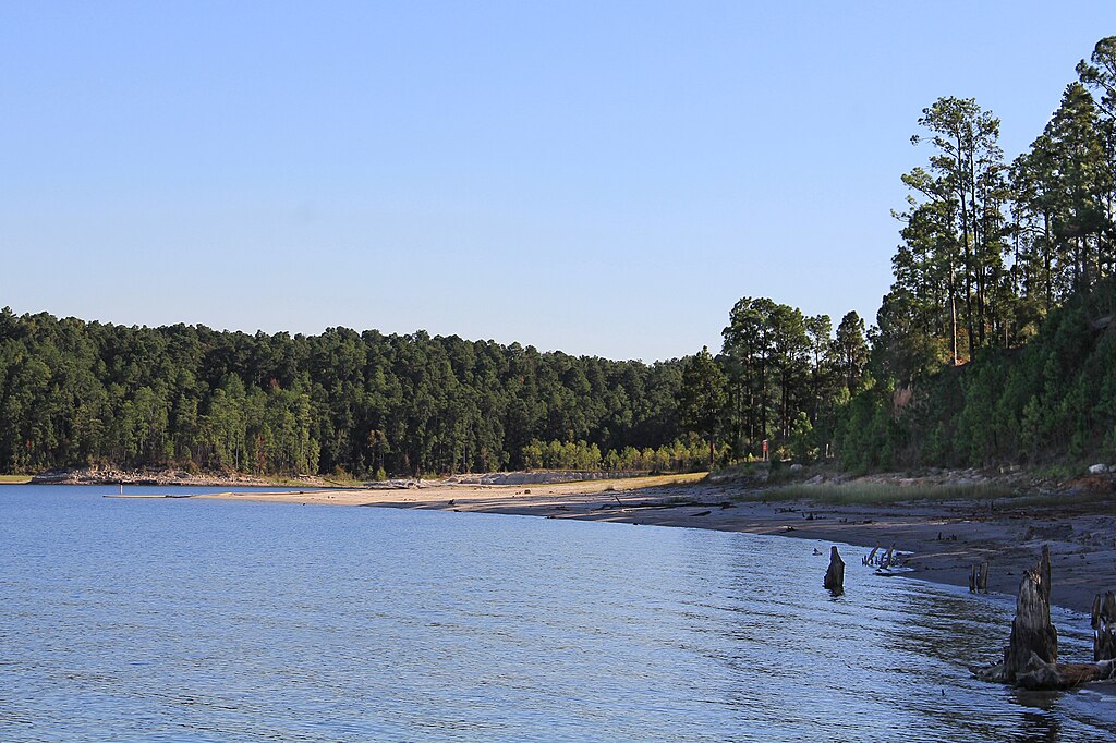
- Lakes
- 7,591
- Rivers
- 11,469
- Access
- 444
- Boat Ramps
- 2,457
- Shops
- 19
Texas paddling isn't one scene — it's four or five, scattered across a state big enough to hold all of them at once.
The same weekend, someone is dragging a loaded canoe through ankle-deep Rio Grande in a Big Bend drought, someone else is threading black mangroves near Port Aransas, and ten thousand tubers are bobbing down the Guadalupe below Canyon Dam.
The throughline, if there is one, is the TPWD Texas Paddling Trails program — eighty-plus designated trails since 1998, quietly doing the unglamorous work of negotiating put-ins and takeouts in a state where river access law is genuinely contested.
You have a constitutional right to the streambed of a navigable river. Getting to it across private land is another matter. The Hill Country is where most Texans first learn to paddle.
Spring-fed limestone rivers — the Llano, the Blanco, the San Marcos starting at Aquarena Springs, the South Llano running clear out of Junction — are gin-clear and gentle, mostly Class I–II with the occasional ledge.
The Frio, Nueces, and Sabinal go to a trickle by fall; the South Llano holds water year-round because the springs do. Flash floods are the real hazard out here. Local outfitters will tell you not to camp on gravel bars, and they mean it.
The Guadalupe below Canyon Dam is the commercial heart of it all — twenty miles of cold, dam-regulated water that runs in August when nothing else does.
Hueco Falls is the only true Class III on the lower river; Devil's Playground and The Chute keep things interesting.
It's also the most crowded paddling water in Texas, and serious whitewater paddlers tend to drive past it toward Barton Creek in Austin when the rains bring the Loop 360 to Zilker run up, which isn't often. West Texas is a different country.
Santa Elena, Boquillas, and the Lower Canyons of the Rio Grande are some of the best canyon canoeing in North America when there's water — November through March, Far Flung shuts down trips in the brutal summer months — and the Lower Canyons in particular is a seven-to-ten-day commitment that rewards the planning.
Drought has closed sections outright in recent years. Check the gauge before you commit to anything. Then there's the Devils River, which is the one paddlers talk about in lower voices.
Forty-seven miles from Bakers Crossing to Rough Canyon Marina, twenty-four permits a day, shuttles starting around $480, Dolan Falls in the middle of it.
It's remote, it's strict, and it filters out anyone not willing to do the work — which is exactly why the people who paddle it once tend to come back.
East Texas hides Caddo Lake, a cypress maze on the Louisiana line where you can absolutely lose yourself without a map and probably will.
The Gulf brings something else again: the Lighthouse Lakes Trail near Port Aransas (the first Texas Paddling Trail), the Port O'Connor route past the Matagorda Island Lighthouse, Galveston's marsh trails.
HASK runs the organized sea kayak community out of Houston. Wind is the thing to watch — above 10 mph on open bay, you pull off.
The Trinity River National Water Trail — 130 miles stitched through nine cities of the DFW metroplex, designated in 2020 — is proof that the urban paddling here is serious too, with the Dallas Wave standing in as the most accessible whitewater feature in the state.
None of this fits together neatly. That's the point.
Paddle smarter with real-time insights
Whether you're en route and conditions shift or you're looking for the best spot based on current flows, we enable you to make informed decisions on the fly.







Texas licenses and regulations
Explore Texas waters
Top paddling waters
Popular Cities
Loading popular cities...

Smarter Paddling Starts in the App.
Paddleways gives you everything you need to plan smarter, paddle better, and own every trip from first launch to takeout.