Shafter Lake
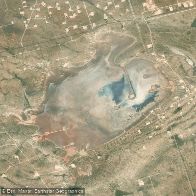
Shafter Lake
- Boat Ramps
- 0
- Access Points
- 0
- Campsites
- 0
Shafter Lake is a shallow, alkaline saltwater playa located in Andrews County, Texas, approximately 4 miles west of U.S. Route 385. The lake's water level fluctuates seasonally, with the surrounding land sitting about 50 feet higher in elevation. While once the site of a small boomtown in the early 1900s, Shafter Lake is now essentially a ghost town with only a dilapidated cemetery and a single building remaining.
Paddling on Shafter Lake is not recommended. Its shallow, ephemeral nature and high salinity make it unsuitable for water activities. There are no developed access points or facilities for paddlers, and the lack of consistent water coupled with harsh alkaline conditions make it an inhospitable environment for boating.
The area around the lake is now primarily used for ranching. Wildlife in the region includes typical West Texas species adapted to arid conditions. The lake's shoreline vegetation is sparse due to the saline environment.
Historically, Shafter Lake is notable as the site of a short-lived boomtown founded in 1907 during the early 20th century Texas land rush. The town reached a peak population of 500 in 1910 before rapidly declining after losing a county seat election and being struck by a smallpox epidemic. By 1912, the town was largely abandoned.
Visitors to the Shafter Lake area should be aware that most of the surrounding land is private property. The remaining cemetery and building are the primary points of historical interest. Given the lake's remote location and lack of facilities, those exploring the area should come prepared with ample water and supplies.
Water access, boat ramps & amenities
Learn how to get on Shafter Lake. Uncover great paddling access points, boat ramps, and all the facilities you need for an unforgettable day on the water. Some locations shown may border or include private property. Always check property boundaries and applicable regulations before visiting. PaddleWays's Public & Private Land layer can help you plan your access with confidence.
Paddle smarter with real-time insights
Whether you're en route and conditions shift or you're looking for the best spot based on current flows, we enable you to make informed decisions on the fly.








Find Places to Paddle

Over 400,000 Places to Paddle
Every user gets free access to launch points, boat ramps, and public property parcels.


Water and weather conditions (10 day forecast)
See the best times to paddle Shafter Lake and check the forecast before you go.
No forecast data available.
Paddling near Shafter Lake
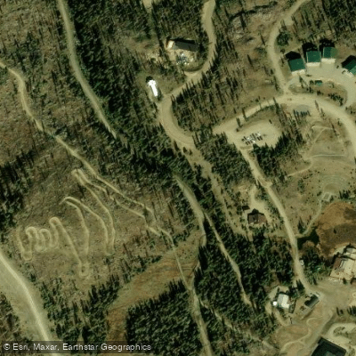
Lake Fork
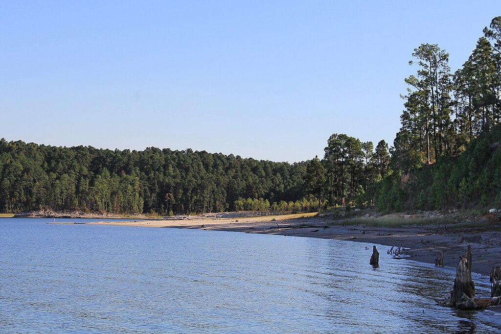
Sam Rayburn Reservoir
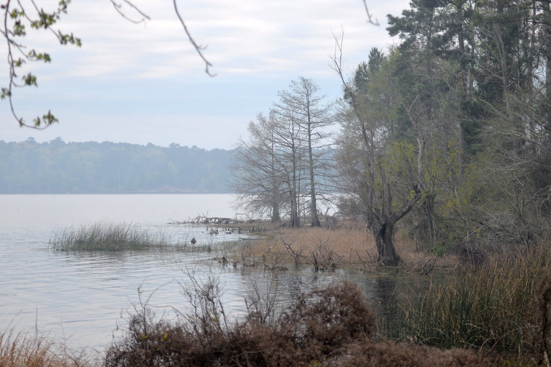
Toledo Bend Reservoir
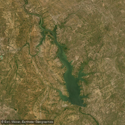
Falcon Reservoir
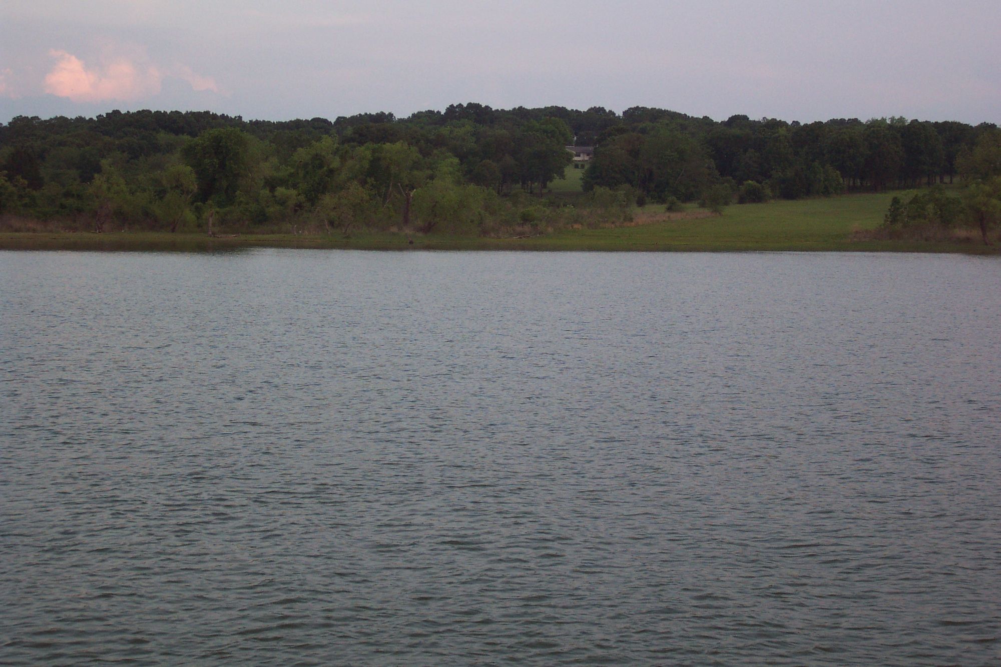
Lake Texoma
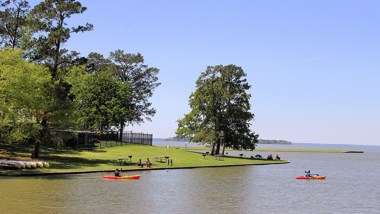
Lake Livingston
Chambers Reservoir
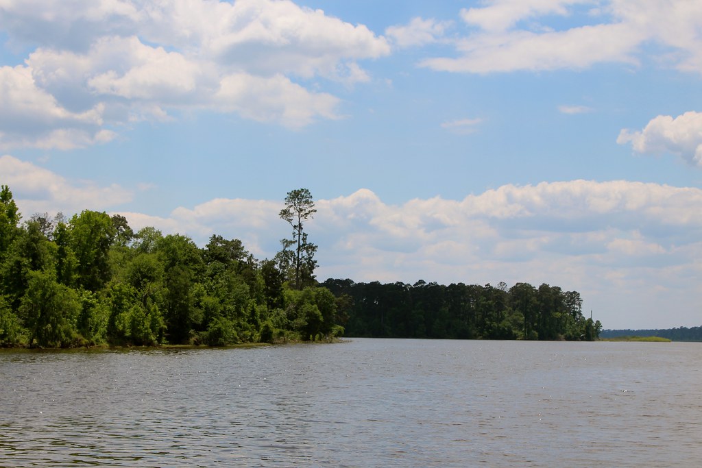
Lake Conroe
Canyon Reservoir
Explore Texas waters
Top paddling waters
Popular Cities
Loading popular cities...
Explore near Shafter Lake

Smarter Paddling Starts in the App.
Paddleways gives you everything you need to plan smarter, paddle better, and own every trip from first launch to takeout.