Tule Creek Lake
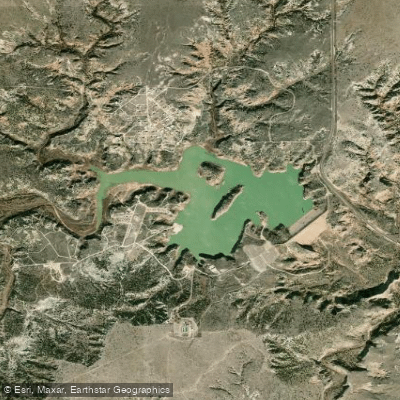
Tule Creek Lake
- Boat Ramps
- 2
- Access Points
- 2
- Campsites
- 0
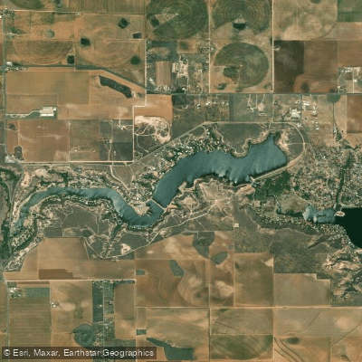
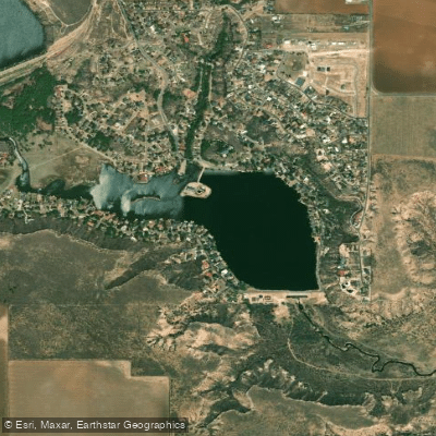
Tule Creek Lake, also known as Mackenzie Reservoir, is an 896-acre impoundment located 10 miles northwest of Silverton, Texas on Tule Creek, a tributary of the Prairie Dog Fork of the Red River. Created in 1974, the reservoir features steep rocky sides within a canyon off the Caprock, with water depths reaching 150 feet and averaging 52 feet at conservation pool level.
The lake has very little aquatic vegetation, with most structure consisting of flooded timber and terrestrial vegetation. The water is typically clear with 4-6 foot visibility. The steep canyon sides provide significant wind protection, making this a good paddling destination even on breezy days.
The lake experiences severe annual water level fluctuations of 4-10 feet, which can affect access conditions. The reservoir's elevation is 3,100 feet above sea level at conservation pool. Most of the cover consists of rock and boulder formations with some areas of flooded timber in the coves. Several islands dot the open water.
Due to its remote location and challenging access points, the reservoir typically sees very low visitor traffic, offering a quiet paddling experience away from crowds. Before planning a trip, paddlers should contact the Mackenzie Municipal Water Authority regarding current water levels and access conditions.
The steep rocky sides and deep canyon setting create a distinctive paddling environment, though they can make shoreline access challenging in many areas. When exploring the lake's 165 miles of shoreline, paddlers will find the best protected water in the numerous coves featuring flooded timber.
The lake supports populations of largemouth bass, crappie, and hybrid striped bass, making it possible to combine paddling with fishing. Wildlife viewing opportunities exist along the rocky shorelines and wooded coves.
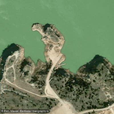
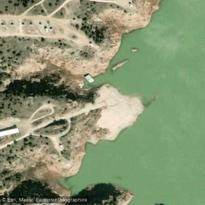
Water access, boat ramps & amenities
Learn how to get on Tule Creek Lake. Uncover great paddling access points, boat ramps, and all the facilities you need for an unforgettable day on the water. Some locations shown may border or include private property. Always check property boundaries and applicable regulations before visiting. PaddleWays's Public & Private Land layer can help you plan your access with confidence.
Paddle smarter with real-time insights
Whether you're en route and conditions shift or you're looking for the best spot based on current flows, we enable you to make informed decisions on the fly.








Find Places to Paddle

Over 400,000 Places to Paddle
Every user gets free access to launch points, boat ramps, and public property parcels.


Water and weather conditions (10 day forecast)
See the best times to paddle Tule Creek Lake and check the forecast before you go.
No forecast data available.
Explore Texas waters
Top paddling waters
Popular Cities
Loading popular cities...
Explore near Tule Creek Lake

Smarter Paddling Starts in the App.
Paddleways gives you everything you need to plan smarter, paddle better, and own every trip from first launch to takeout.