Clay Hills Boat Ramp
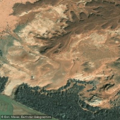
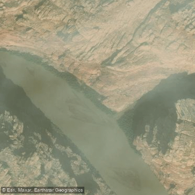
Clay Hills Boat Ramp
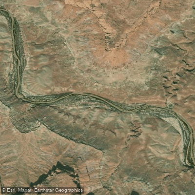
Clay Hills is the only viable take-out point below Mexican Hat on the San Juan River, serving as the terminus for multi-day float trips (57 miles from Mexican Hat, typically 4-5 days).
The facility includes a toilet and aluminum recycling, though there is no trash dump—all waste must be packed out.
Access is via San Juan County Road 278 (11 miles of dirt road from Highway 276), which may become impassable for 2WD vehicles when wet; vehicles with moderate ground clearance are recommended.
Nearby points of interest
Find excellent paddling spots, easy access to boat ramps, and all the amenities you need for a memorable day. Your adventure starts here.
Water and weather conditions (10 day forecast)
Check the forecast at Clay Hills Boat Ramp before you go paddling.
No forecast data available.


Utah licenses and regulations
Explore Utah waters
Top paddling waters
No waters available right now.
Popular Cities
Loading popular cities...
Explore near Clay Hills Boat Ramp
Nearby spots
More in Utah

Smarter Paddling Starts in the App.
Paddleways gives you everything you need to plan smarter, paddle better, and own every trip from first launch to takeout.