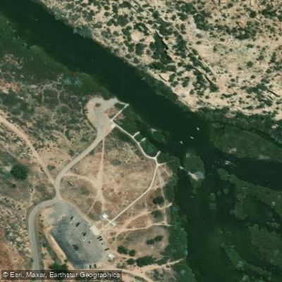
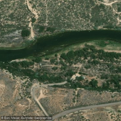
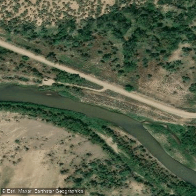
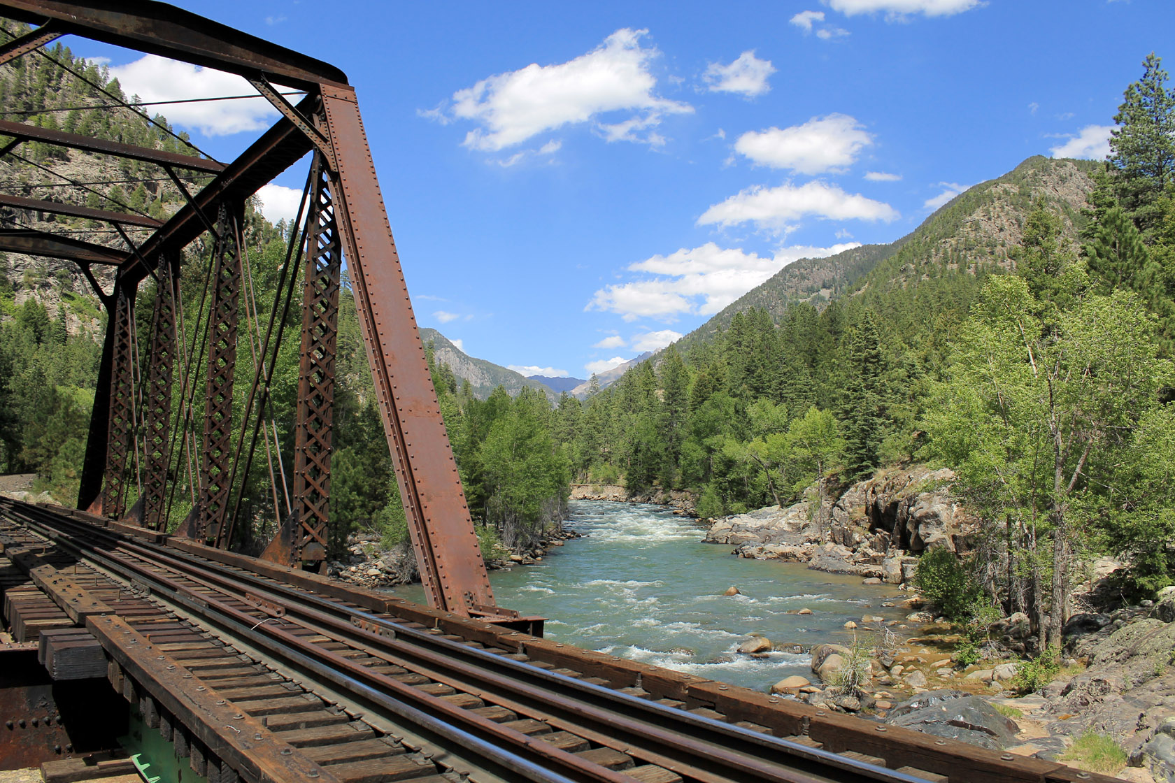
The San Juan River is a waterway that flows through Colorado, New Mexico, and Utah, offering a wide range of paddling experiences for all skill levels. Beginning in the San Juan Mountains of Colorado, the river winds its way through high desert landscapes before joining the Colorado River at Lake Powell.
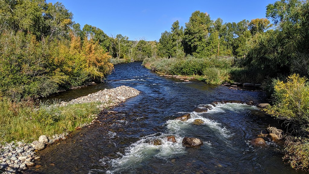
In Colorado, the upper reaches of the San Juan near Pagosa Springs provide exciting whitewater opportunities. The Pagosa Springs Town Run, a popular 2.5-mile stretch, offers Class II-III rapids right through the heart of town, with the most challenging rapid just upstream of the hot springs. For more adventurous paddlers, the East Fork of the San Juan presents a technical Class III-IV run, while the West Fork offers a scenic Class III experience.
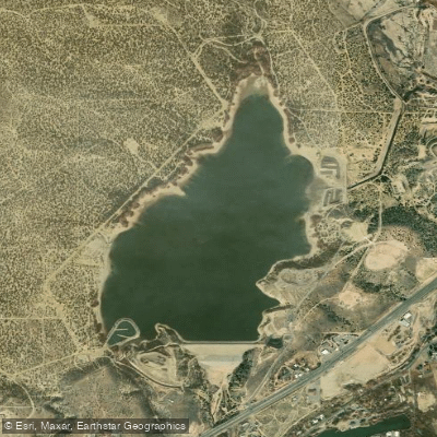
As the river enters New Mexico, it transitions to a more relaxed pace. The 16-mile stretch from Navajo Dam to Blanco is a gentle Class I-II float, popular among anglers and drift boats. This section, flowing through Navajo Lake State Park, provides excellent opportunities for wildlife viewing, including waterfowl and beaver activity.
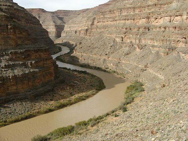
The river's character changes dramatically as it enters Utah, where it becomes a premier desert river trip destination. The 83.5-mile journey from Sand Island to Clay Hills Crossing is the quintessential San Juan experience, typically taking 5-8 days to complete. This section offers a perfect blend of easy floating and sporty Class II-III rapids, set against a backdrop of stunning red rock canyons and abundant archaeological sites.
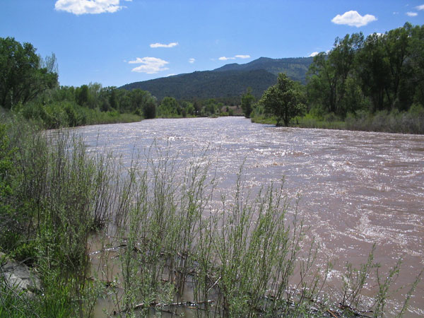
The San Juan is generally suitable for paddlers of various skill levels, with sections ranging from flatwater to Class III rapids. However, the remote nature of some stretches, particularly in Utah, requires careful planning and self-sufficiency. Spring and early summer are typically the best times to paddle the San Juan, when snowmelt increases water levels. However, the controlled releases from Navajo Dam ensure consistent flows in some sections year-round.
The river corridor is home to diverse wildlife, including bighorn sheep, and boasts remarkable geological features such as the famous Goosenecks. Ancient Puebloan ruins and rock art sites dot the landscape, offering glimpses into the area's rich cultural history.
Key access points include Pagosa Springs in Colorado, Navajo Dam and Farmington in New Mexico, and Bluff, Mexican Hat, and Clay Hills in Utah. These towns serve as important logistical hubs for river trips.
Safety considerations include proper equipment, awareness of weather conditions, and respect for the desert environment. Permits are required for certain sections, particularly in Utah, and regulations protect both the natural environment and cultural sites.
Multi-day trips on the lower San Juan are incredibly popular, with options ranging from 2-3 day floats from Sand Island to Mexican Hat, to longer 4-5 day journeys from Mexican Hat to Clay Hills. These trips offer a perfect blend of adventure, scenery, and solitude in one of the Southwest's most captivating river canyons.