Escalante River

Escalante River
- Boat Ramps
- 0
- Access Points
- 2
- Campsites
- 1
The Escalante River is a remarkable waterway that winds through the stunning red rock country of southern Utah. This remote and challenging river offers paddlers an epic wilderness adventure through some of the most breathtaking landscapes in the American Southwest.
The river begins near the town of Escalante and flows approximately 80 miles south until it reaches Lake Powell, carving its way through an immense canyon system within the Glen Canyon National Recreation Area.
The main paddling opportunity on the Escalante is the full river run from Highway 12 to Lake Powell, typically taking 6-8 days to complete. This journey is best suited for packrafts or inflatable kayaks due to the river's remote nature and varying water levels.
The run can be divided into two main sections: the Upper Escalante, from Highway 12 to Coyote Gulch, and the Lower Escalante, from Coyote Gulch to Lake Powell. With a difficulty rating of II-III, the Escalante River is suitable for intermediate to advanced paddlers.
The river presents numerous challenges, including strainers, log jams, and overgrown vegetation that can make navigation tricky. The first six miles from the put-in are relatively flat and easygoing, providing a gentle introduction before the more demanding stretches begin.
The best time to paddle the Escalante is typically in the spring when snowmelt increases water levels. However, conditions can vary greatly from year to year, and careful planning is essential. Paddlers should monitor snowpack and water flow data to determine the optimal time for their trip.
As you journey down the Escalante, you'll be surrounded by a unique ecosystem where desert flora thrives alongside the river's life-giving waters. The canyon walls showcase millions of years of geological history, with striking red rock formations and hidden alcoves waiting to be discovered.
The river provides access to numerous side canyons and geological wonders, including Fence Canyon, Neon Canyon, and the famous Coyote Gulch. These areas offer opportunities for exploration and serve as popular campsites for multi-day trips.
As you approach Lake Powell, the river broadens due to siltation, creating an interesting transition from river to lake paddling. The town of Escalante serves as the primary access point and base for most river trips.
Permits are required for paddling the Escalante, and it's crucial to obtain these in advance from the Glen Canyon National Recreation Area.
Historically, the Escalante River played a significant role in the exploration and settlement of southern Utah. The river and surrounding canyons were home to ancient Puebloan cultures, and later became part of the last mapped area in the continental United States.
Safety is paramount when planning an Escalante River trip. The remote nature of the canyon means that self-rescue and proper preparation are essential. Paddlers should be prepared for changing weather conditions, potential flash floods, and limited access to outside assistance.
For those seeking a true wilderness experience, the Escalante River offers an unforgettable journey through one of America's most pristine and challenging river environments. Whether you're drawn to the geological wonders, the solitude of the desert, or the thrill of navigating a wild river, the Escalante promises an adventure of a lifetime for those willing to embrace its rugged beauty.
Water access, boat ramps & amenities
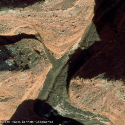
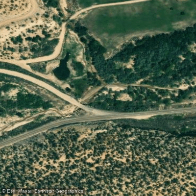
Learn how to get on Escalante River. Uncover great paddling access points, boat ramps, and all the facilities you need for an unforgettable day on the water. Some locations shown may border or include private property. Always check property boundaries and applicable regulations before visiting. PaddleWays's Public & Private Land layer can help you plan your access with confidence.
Paddle smarter with real-time insights
Whether you're en route and conditions shift or you're looking for the best spot based on current flows, we enable you to make informed decisions on the fly.








Find Places to Paddle

Over 400,000 Places to Paddle
Every user gets free access to launch points, boat ramps, and public property parcels.


Water and weather conditions (10 day forecast)
See the best times to paddle Escalante River and check the forecast before you go.
ESCALANTE RIVER NEAR ESCALANTE, UT
Paddling near Escalante River
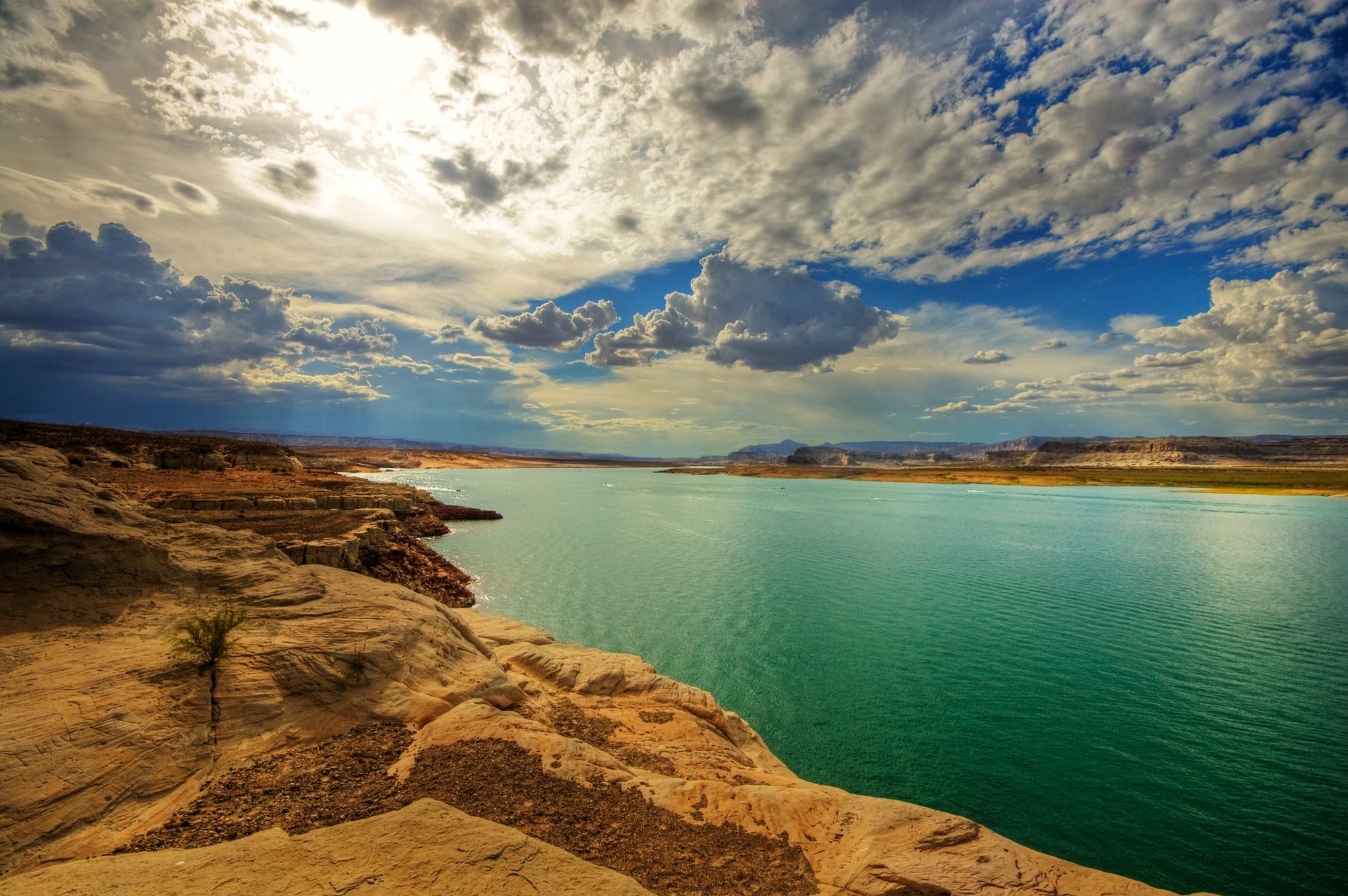
Lake Powell
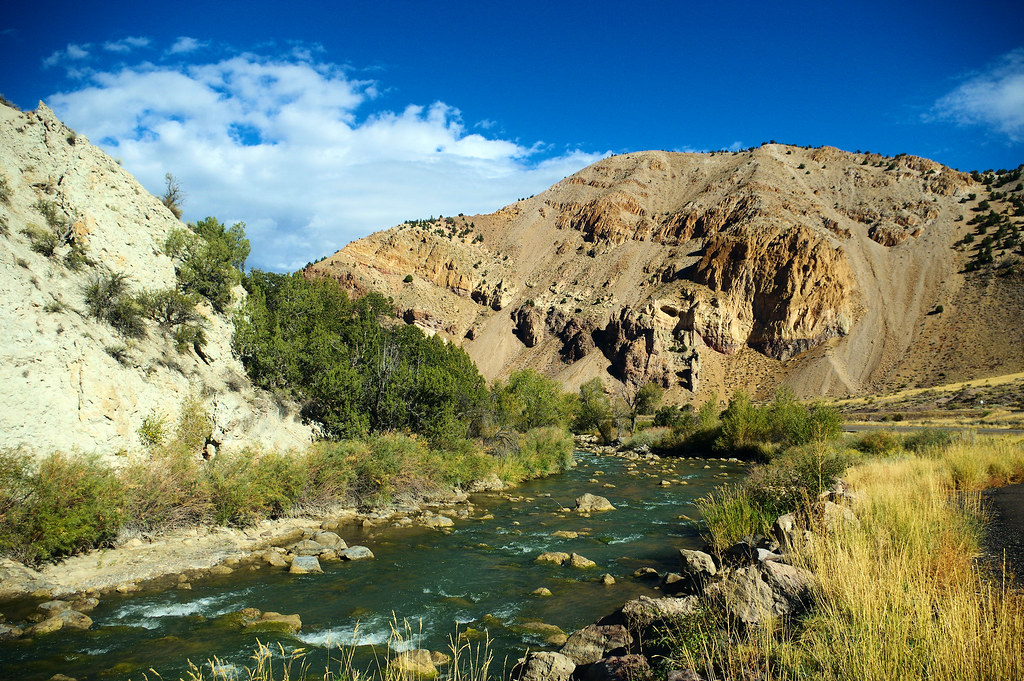
Sevier River

Colorado River
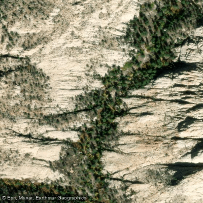
Pine Creek
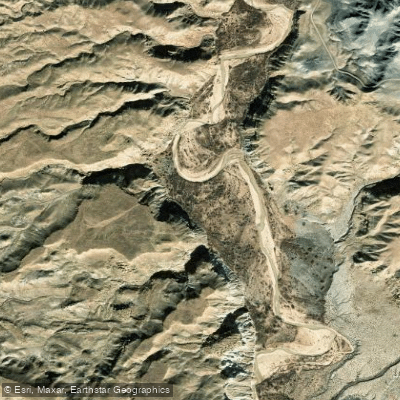
Paria River
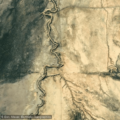
East Fork Sevier River
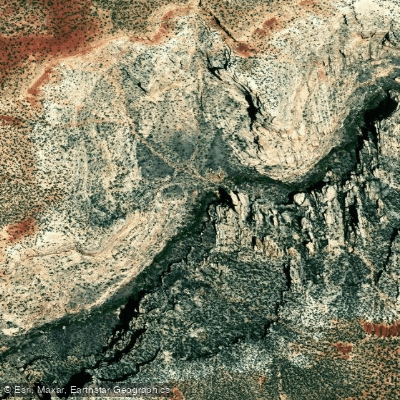
Fremont River
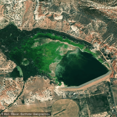
Wide Hollow Reservoir
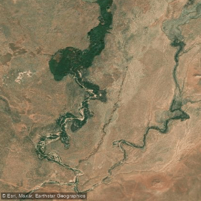
Kanab Creek
Explore Utah waters
Top paddling waters
Popular Cities
Loading popular cities...
Explore near Escalante River

Smarter Paddling Starts in the App.
Paddleways gives you everything you need to plan smarter, paddle better, and own every trip from first launch to takeout.