Curated by PaddleWays

First paddle of the year

0.9 mi flatwater route on the East Fork Lewis River in Washington

  • Flatwater

Map of the First paddle of the year route, from La Center Shore Ramp to Duck Lake Access
  • Route
  • Put-in
  • Take-out

Level right now

How First paddle of the year is running today

Route facts

First paddle of the year at a glance

Distance
0.9 mi
Paddle time
~0.5 hrs
Type
Flatwater

About this route

Paddling First paddle of the year

This 0.9-mile flatwater route runs along the East Fork Lewis River from the La Center Shore Ramp to the Duck Lake Access in Clark County, Washington.

The La Center Shore Ramp is a small shore launch just downstream of the La Center Bridge, with a gravel parking area accommodating about four cars.

Put-in and take-out

  • Put-in

    La Center Shore Ramp

  • Take-out

    Duck Lake Access

Hazards

Hazards on First paddle of the year

No hazards are marked on First paddle of the year yet. That is not the same as none being there: if you find one, report it for the next paddler.

From the community

First paddle of the year trip reports

Real trips from PaddleWays paddlers who ran this route: how the flows were, and what to watch for.

Loading trip reports

  • Brendon G.

    Kayak •

    171 cfs at Heisson

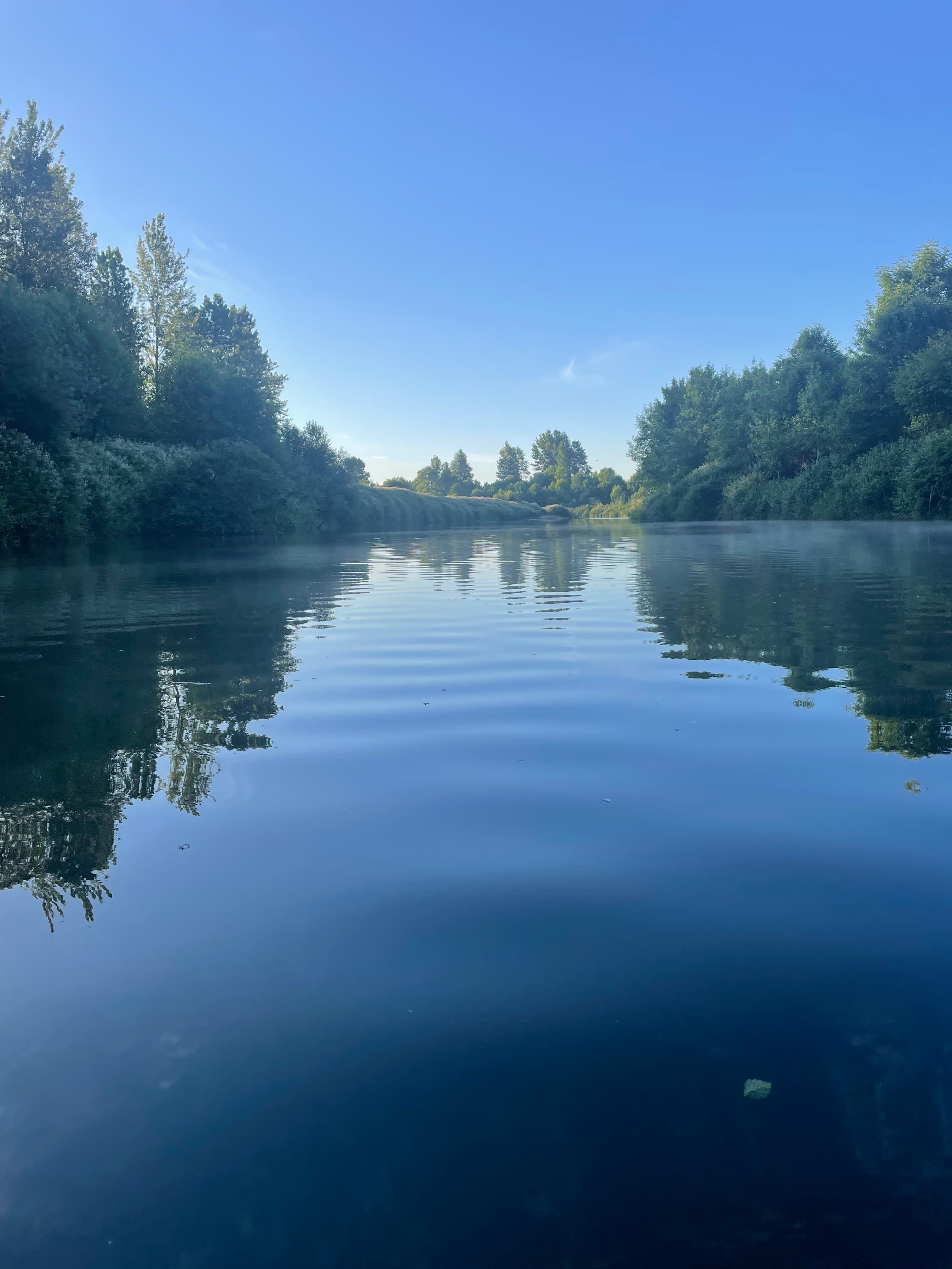
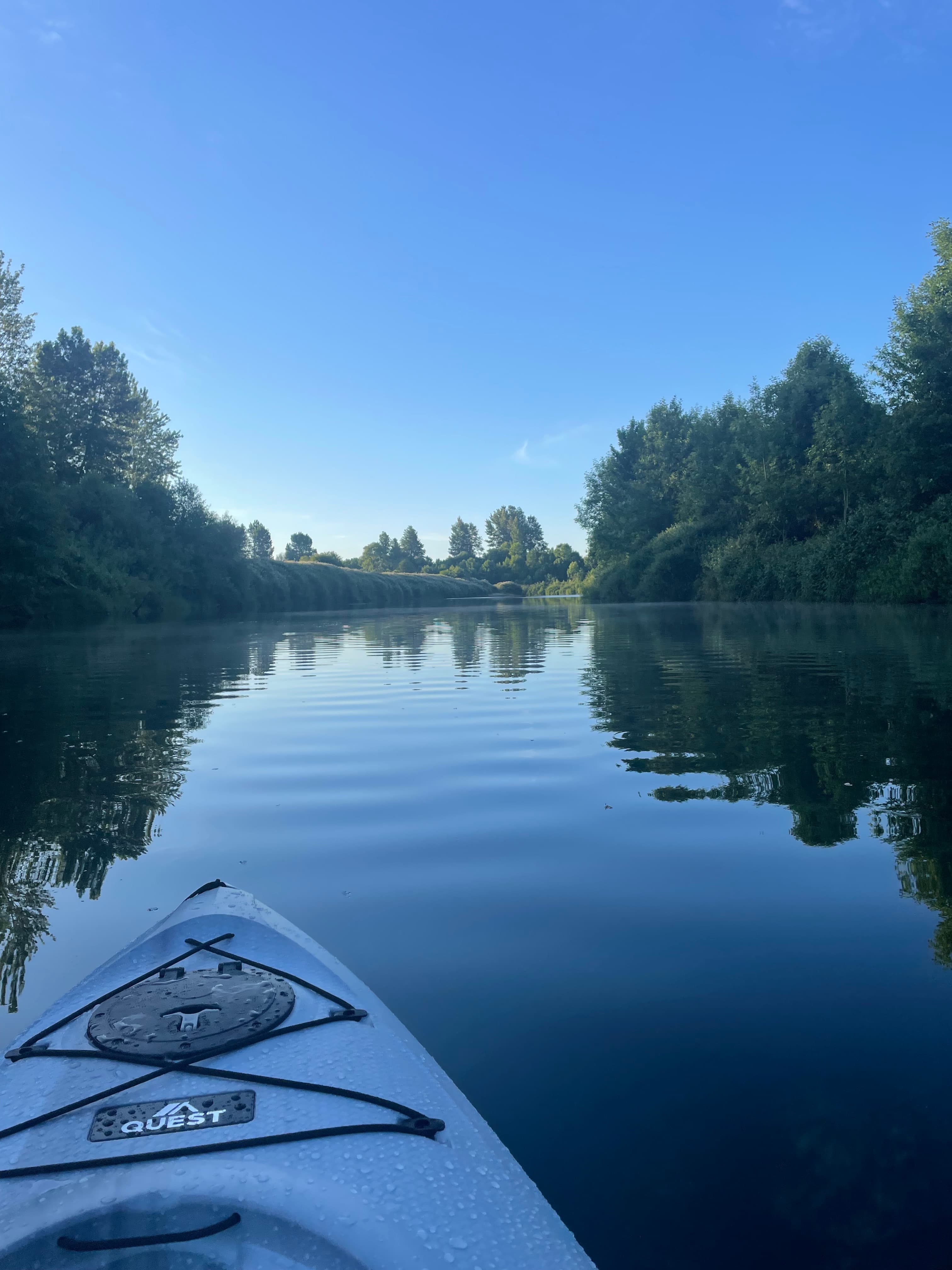
    Nice chilly morning. Peace no one else around
    • Photo 1 from Brendon G.'s trip
    • Photo 2 from Brendon G.'s trip
    Mentions: cold water

Flows & weather (10 day forecast)

The gauges near First paddle of the year and the forecast where it starts, so you can pick your day.

No forecast data available.

Same water

More routes on the East Fork Lewis River

The other curated routes on the East Fork Lewis River, each with how it is running now.

Curated by PaddleWays

RouteClass II

Distance
3.2 mi
Paddle time
~1 hr
Best for
Families, intermediate paddlers
Put-in → take-out
Lewisville Access → Daybreak Park Boat Ramp
Tree across river requires portage
Curated by PaddleWays

RouteClass IV

Distance
3.7 mi
Paddle time
~1 hr
Best for
Intermediate paddlers, experienced paddlers
Put-in & take-out
Put In
Two 10' waterfalls and ledge drops
Curated by PaddleWays

RouteFlatwater

Distance
7 mi
Paddle time
~2.5 hrs
Best for
Beginners, families
Put-in → take-out
Daybreak Park Boat Ramp → La Center Shore Ramp
Curated by PaddleWays

RouteClass III–V

Distance
11.1 mi
Paddle time
~3 hrs
Best for
Experienced paddlers
Put-in → take-out
Take Out → Lewisville Access
Lucia Falls, usually portaged

Close by

Routes near First paddle of the year

Curated routes on other waters within an hour or so, nearest first.

Curated by PaddleWays

RouteClass II

Distance
141 mi
Paddle time
Multi-day
Best for
Kayak, canoe
Put-in → take-out
Hamilton Island Boat Ramp → Fort Canby State Park Boat Ramp
Curated by PaddleWays

RouteClass II

Distance
15.2 mi
Paddle time
~5 hrs
Best for
Kayak
Put-in → take-out
Castle Rock Fairgrounds Access → Gearheart Gardens Boat Ramp
Curated by PaddleWays

RouteClass V

Distance
4.1 mi
Paddle time
~1 hr
Best for
Experienced paddlers
Put-in → take-out
Prospector Access → Docs Drop Access
Doc's Drop 20-foot waterfall near end
Curated by PaddleWays

The Gorge

on Washougal River · 29 mi away

RouteClass III–IV

Distance
6.4 mi
Paddle time
~1.5 hrs
Best for
Experienced paddlers
Put-in → take-out
Dougan Fall Access → Salmon Falls Access

Smarter Paddling Starts in the App.

PaddleWays gives you everything you need to plan smarter, paddle better, and own every trip from first launch to takeout.