East Fork Lewis River
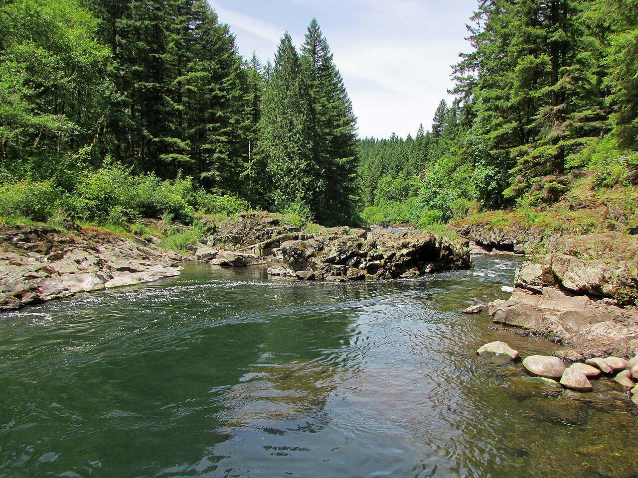
East Fork Lewis River
- Boat Ramps
- 4
- Access Points
- 9
- Campsites
- 8
The East Fork Lewis River is a significant tributary of the Lewis River in southwest Washington state. Originating in the Cascade Mountains, it flows generally westward for approximately 43 miles before joining the North Fork Lewis River near the town of Woodland. The river drains a watershed of about 240 square miles, primarily within Clark County. The East Fork Lewis offers a diverse range of paddling opportunities, from challenging whitewater in its upper reaches to more leisurely floats in its lower sections.
The river can be divided into several distinct paddling segments: 1. The upper Falls Section from Sunset Falls to Horseshoe Falls (3 miles, Class IV) 2. Rock Creek to Moulton Falls Park (1.9 miles, Class III-V) 3. Moulton Falls to Lewisville Park (11.5 miles, Class III+(V)) 4. Lewisville Park to Daybreak Park (3 miles, Class II) 5. Daybreak Park to La Center (8 miles, flatwater to Class I)
Overall, the river's difficulty ranges from Class I to Class V, requiring varying levels of skill and experience. The upper sections demand advanced whitewater skills, while the lower reaches are suitable for intermediate paddlers and families. The best paddling season typically runs from late fall through spring when water levels are higher. Summer flows can be too low for enjoyable paddling in some sections. Paddlers should always check current flow conditions before embarking on a trip.
The river corridor supports diverse wildlife, including salmon, steelhead, and various bird species. The surrounding landscape features a mix of coniferous forests, deciduous trees, and understory vegetation typical of the Pacific Northwest. Key landmarks along the river include Sunset Falls, Moulton Falls, and Lucia Falls. Moulton Falls Regional Park, a 387-acre area at the confluence of the East Fork Lewis River and Big Tree Creek, offers scenic views and recreational opportunities.
Major access points include Sunset Falls Recreation Site, Moulton Falls County Park, Lewisville Regional Park, Daybreak Park, and La Center Water Trail Park. The nearby towns of Battle Ground, Yacolt, and La Center provide services for paddlers.
Historically, the river has been important for local Native American tribes and played a role in early European settlement and logging operations in the region.
Safety considerations include swift water, cold temperatures, and potential strainers, especially in the upper sections. Paddlers should be aware of their skill levels and the river's challenges. Some sections, like Lucia Falls, are often portaged due to their difficulty. While multi-day trips are not common on the East Fork Lewis itself, paddlers can combine sections for longer day trips or connect with the main stem Lewis River for extended journeys.
Water access, boat ramps & amenities
Learn how to get on East Fork Lewis River. Uncover great paddling access points, boat ramps, and all the facilities you need for an unforgettable day on the water. Some locations shown may border or include private property. Always check property boundaries and applicable regulations before visiting. PaddleWays's Public & Private Land layer can help you plan your access with confidence.
Paddle smarter with real-time insights
Whether you're en route and conditions shift or you're looking for the best spot based on current flows, we enable you to make informed decisions on the fly.








Find Places to Paddle

Over 400,000 Places to Paddle
Every user gets free access to launch points, boat ramps, and public property parcels.


Water and weather conditions (10 day forecast)
See the best times to paddle East Fork Lewis River and check the forecast before you go.
EAST FORK LEWIS RIVER NEAR HEISSON, WA
Paddling near East Fork Lewis River

Columbia River
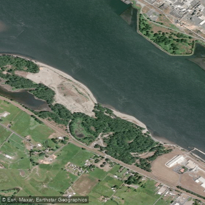
Dibblees Beach
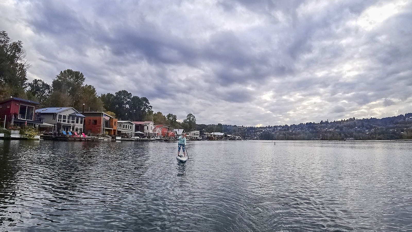
Willamette River
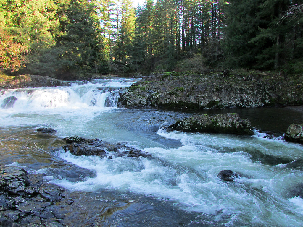
Lewis River
Fisher Island Slough
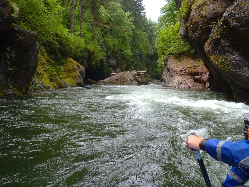
Sandy River
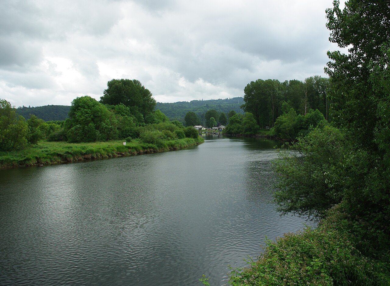
Kalama River
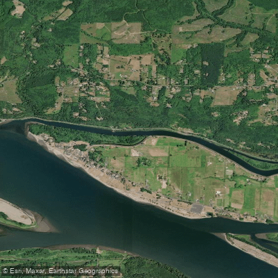
Coal Creek Slough
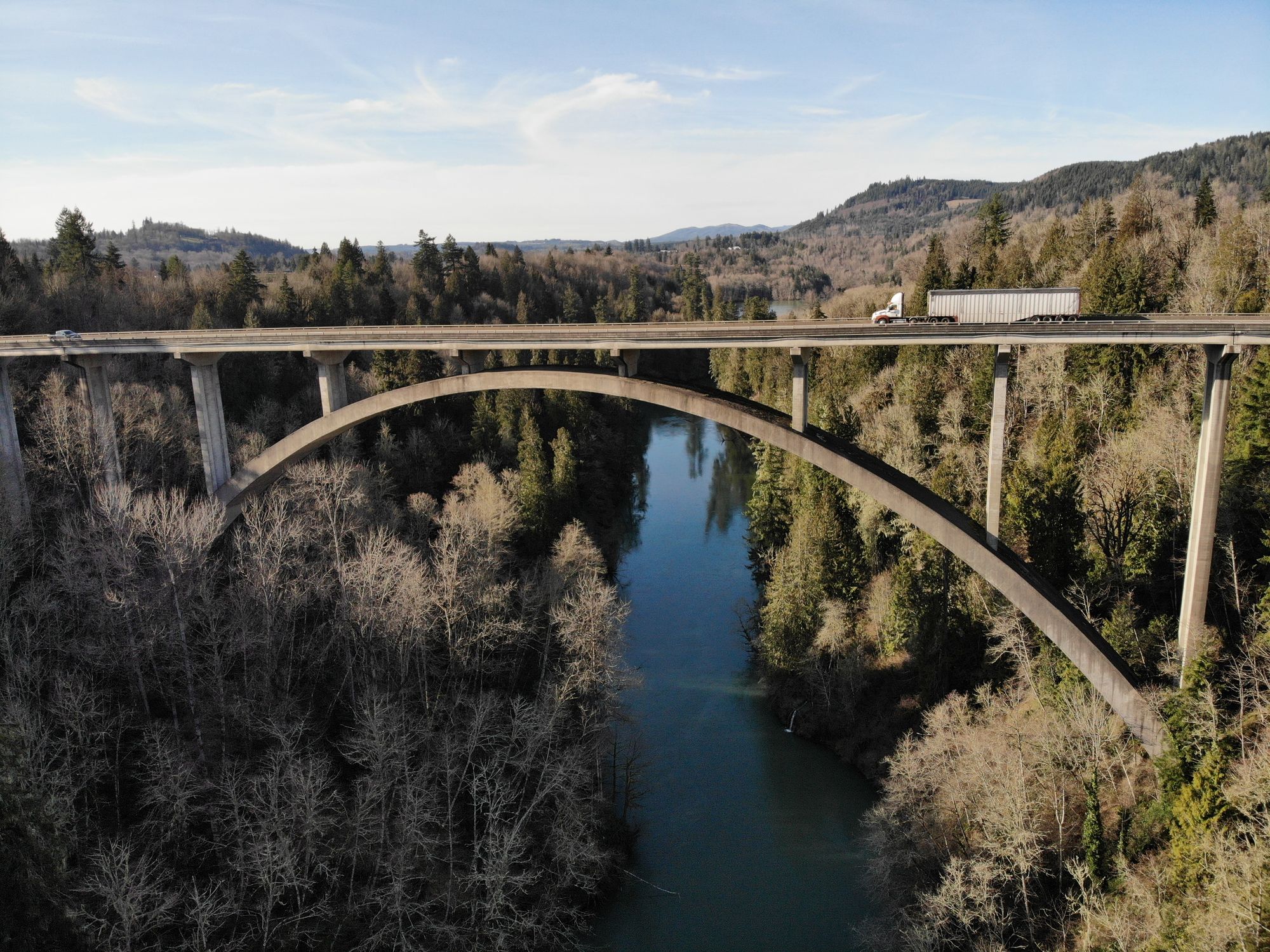
Cowlitz River
Explore Washington waters
Top paddling waters
Popular Cities
Loading popular cities...
Explore near East Fork Lewis River
Access points
Nearby waters
More in Washington

Smarter Paddling Starts in the App.
Paddleways gives you everything you need to plan smarter, paddle better, and own every trip from first launch to takeout.