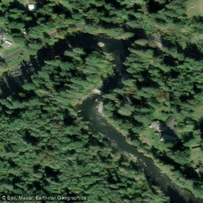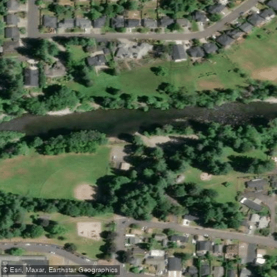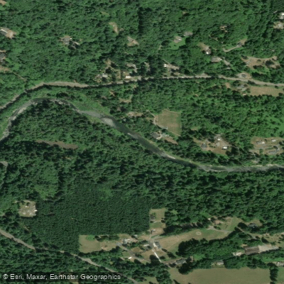
Curated by PaddleWays
RouteClass V
- Distance
- 2.4 mi
- Paddle time
- ~0.5 hrs
- Best for
- Experienced paddlers
- Put-in → take-out
- Docs Drop Access → Dougan Falls Access
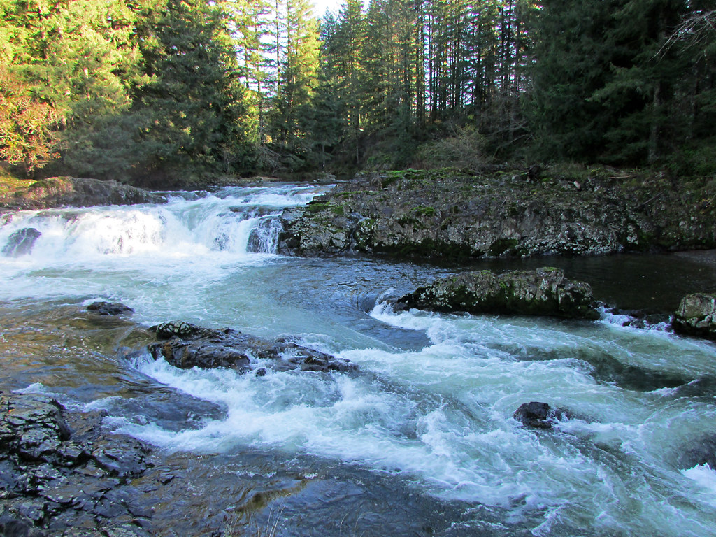
Several significant waterfalls, technical rapids
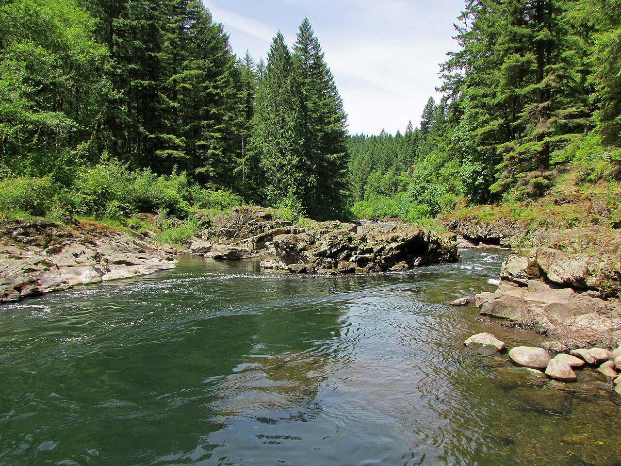
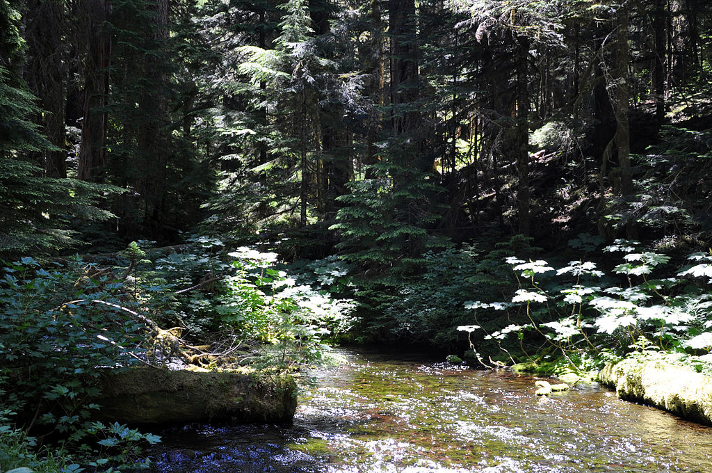
The Washougal River is a scenic and challenging waterway located in southwest Washington state. Originating in the Cascade Mountains, it flows approximately 33 miles westward before joining the Columbia River near the town of Washougal. The river drains a watershed of about 150 square miles, with major tributaries including the Little Washougal River, Stebbins Creek, and the North Fork Washougal. The Washougal offers a diverse range of paddling opportunities, from technical Class V rapids in its upper reaches to more moderate Class III-IV whitewater in its middle and lower sections.
The river is divided into several distinct paddling segments:
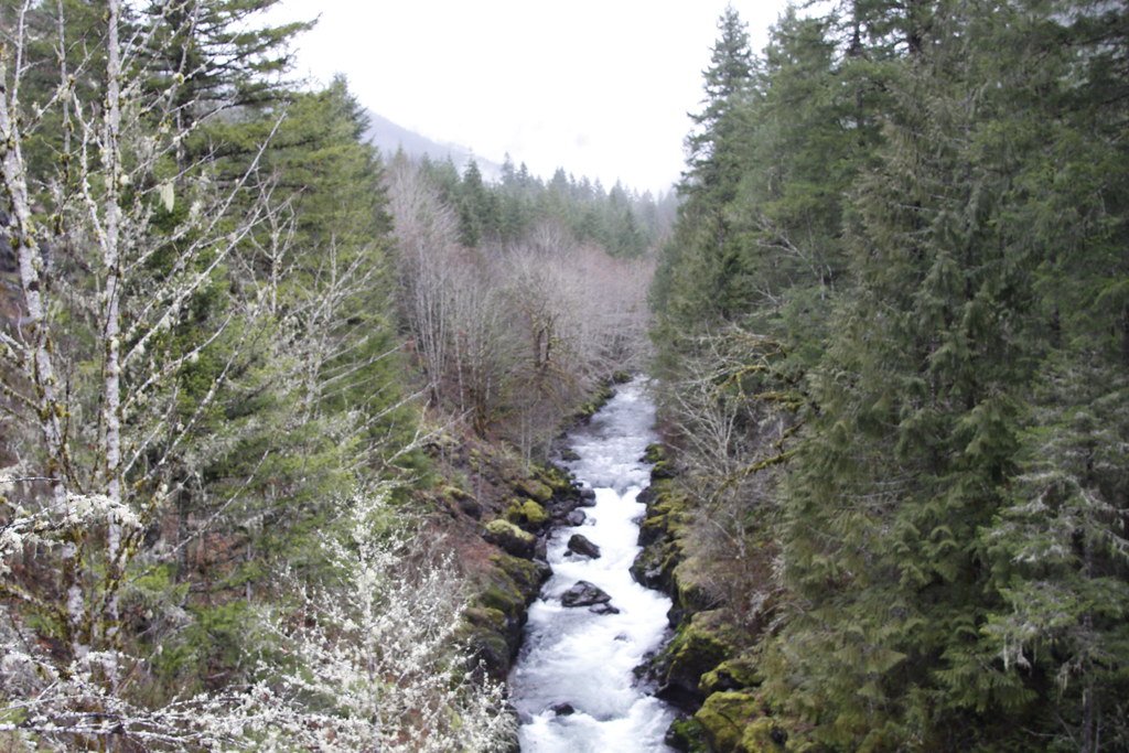
1. Upper Upper Washougal (Prospector's Creek to Doc's Drop): A challenging 4.1-mile Class V run with an average gradient of 102 feet per mile.
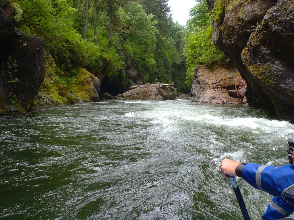
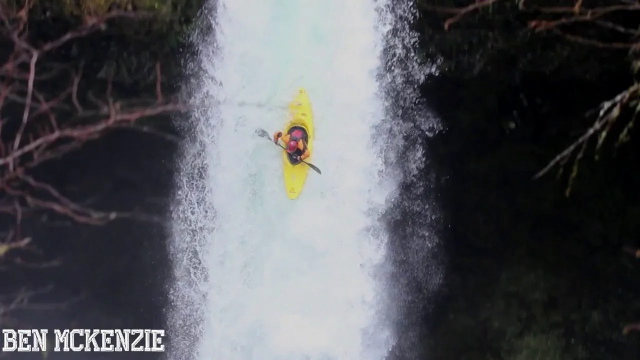
2. The Falls Section (Doc's Drop to Dougan Falls): A 3-mile Class V stretch featuring several significant waterfalls.
3. The Gorge (Dougan Falls to Salmon Falls): A 6.3-mile Class III-IV run through a scenic forested canyon.
4. Big Eddy Section (Highway 140 to Washougal): A popular 7.1-mile Class III-IV stretch, considered the main Washougal run.
5. North Fork Washougal: A 7-mile Class IV-V tributary run, highly regarded by local paddlers.
The Washougal is primarily a rainy season river, with optimal paddling conditions typically occurring from late fall through spring. Water levels can fluctuate rapidly, so paddlers should closely monitor gauges and weather forecasts.
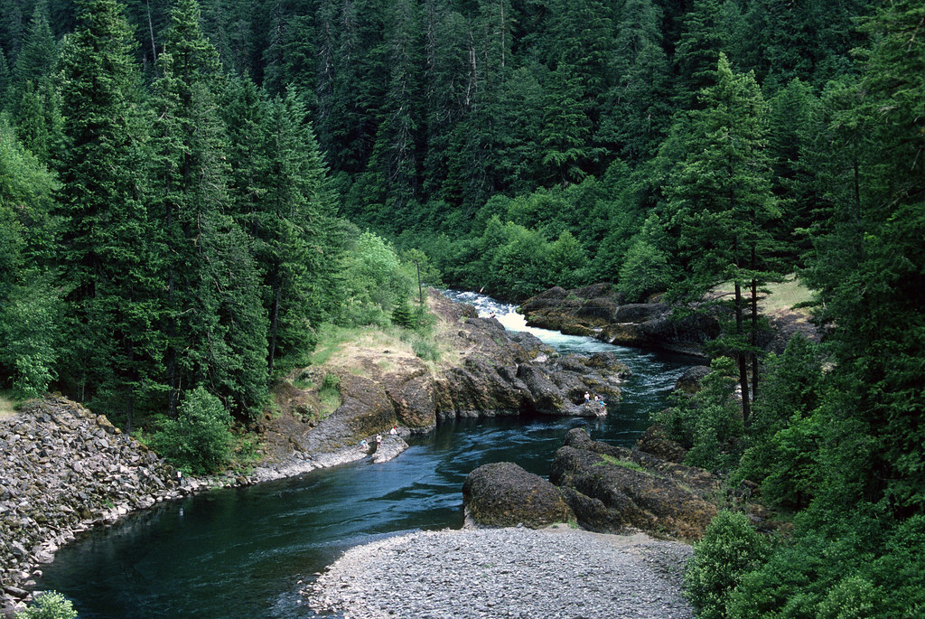
The river corridor supports diverse flora and fauna, including Douglas fir, western red cedar, and various salmon species. Notable landmarks include Dougan Falls, a popular swimming hole and picnic area, and the challenging Big Eddy rapid. Primary access points are found along Washougal River Road, with the towns of Washougal and Camas serving as the nearest population centers.
The river holds cultural significance for local Native American tribes and played a role in the region's logging history.
Safety considerations include cold water, swift currents, and numerous hazards such as strainers and undercut rocks. Paddlers should possess solid whitewater skills and carry appropriate safety gear. Some sections may require scouting or portaging.
While primarily known for day trips, the Washougal's various sections can be combined for multi-day adventures for experienced paddlers. The river's proximity to Portland, Oregon, makes it a popular destination for urban kayakers seeking challenging whitewater in a beautiful natural setting.
Curated routes
Hand-picked by the PaddleWays team, with put-ins, take-outs, paddle times and the hazards along the way.
RouteClass V
RouteClass V
RouteClass III–IV
Hazards
No paddler has reported a hazard here yet, so these are the dams, falls and big rapids on our map. Hazards change with flows and storms, so check them before you launch.
From the community
Nobody has shared a trip on Washougal River yet. Paddle it, then tell the next paddler how it went.
See exactly where the public can get on and off the river. Launch points and boat ramps are paired with PaddleWays' public land data so you know where you can legally land.
Public shoreline
35%of the river's shoreline is public
Most of the riverbank is private. Launch, land and camp only at public access points.
Flows, weather and a route-by-route verdict, so you know which stretch of the Washougal River is worth paddling today.
Live flows, marked hazards and fresh trip reports from paddlers who were just on the water, all in one place.





Every user gets free access to launch points, boat ramps, and public property parcels.
Loading popular cities...
PaddleWays gives you everything you need to plan smarter, paddle better, and own every trip from first launch to takeout.