Chewuch River
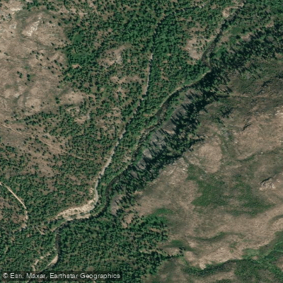
Chewuch River
- Boat Ramps
- 0
- Access Points
- 0
- Campsites
- 12
The Chewuch River originates in the Pasayten Wilderness of northern Washington, flowing south through the Okanogan National Forest before joining the Methow River in the town of Winthrop. This 42-mile watercourse drains a significant portion of the eastern Cascades, with Andrews Creek serving as a major tributary near its headwaters. Paddlers are drawn to the Chewuch for its varied whitewater, pristine surroundings, and relatively easy access. The river is typically divided into three main sections: the challenging Upper (Andrews Camp to Camp Four), the popular Middle (Camp Four to Five Mile Bridge), and the more relaxed Lower (Five Mile Bridge to Winthrop).
The Upper Chewuch presents expert-level Class IV-V rapids over a steep 5-mile stretch, demanding advanced skills and proper equipment. The 13-mile Middle section offers classic Class III whitewater suitable for intermediate paddlers, while the Lower provides a gentler float as the river approaches its confluence.
Spring snowmelt drives the Chewuch's prime paddling season, typically from late April through June. Flows can fluctuate rapidly, so checking current gauges is essential. The river is generally too low for enjoyable paddling by mid-summer.
The Chewuch Valley supports diverse wildlife, including deer, elk, and occasional black bears. Ponderosa pines and Douglas firs line much of the riverbank, transitioning to more arid vegetation downstream. Key landmarks include the rustic Camp Four, a popular National Forest campground and put-in, and the historic town of Winthrop, where the Chewuch meets the Methow. Multiple Forest Service roads provide access points along the river's course.
The Chewuch holds cultural significance for local Native American tribes and played a role in early fur trading and gold prospecting. Today, it's an important recreational resource and has been identified as a potential Wild and Scenic River.
Paddlers should be aware of wood hazards, especially in the upper reaches, and cold water temperatures year-round. Some sections flow through remote areas with limited cell service. While multi-day trips are possible, most paddlers opt for single-day runs on the various sections.
The Chewuch River offers a quintessential Pacific Northwest paddling experience, combining thrilling whitewater, stunning mountain scenery, and a rich natural history.
Water access, boat ramps & amenities
Learn how to get on Chewuch River. Uncover great paddling access points, boat ramps, and all the facilities you need for an unforgettable day on the water. Some locations shown may border or include private property. Always check property boundaries and applicable regulations before visiting. PaddleWays's Public & Private Land layer can help you plan your access with confidence.
Paddle smarter with real-time insights
Whether you're en route and conditions shift or you're looking for the best spot based on current flows, we enable you to make informed decisions on the fly.








Find Places to Paddle

Over 400,000 Places to Paddle
Every user gets free access to launch points, boat ramps, and public property parcels.


Water and weather conditions (10 day forecast)
See the best times to paddle Chewuch River and check the forecast before you go.
CHEWUCH RIVER AT WINTHROP, WA
All Flow Stations
Paddling near Chewuch River
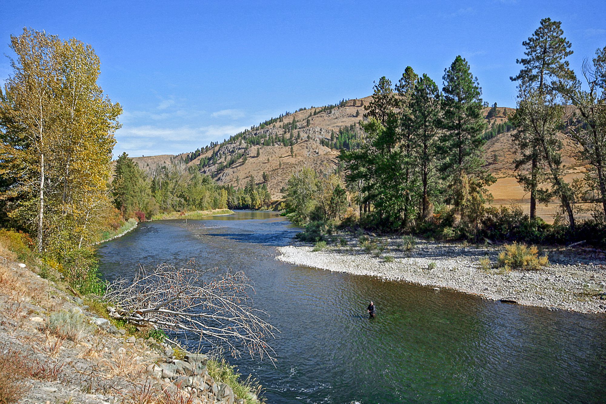
Methow River
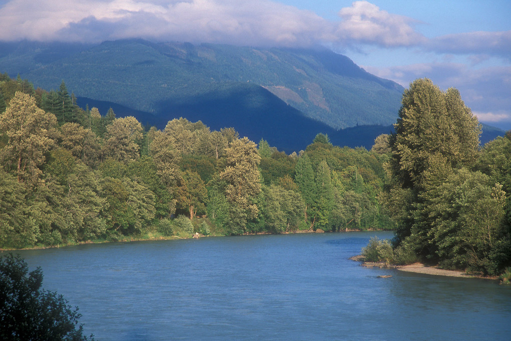
Skagit River

Columbia River
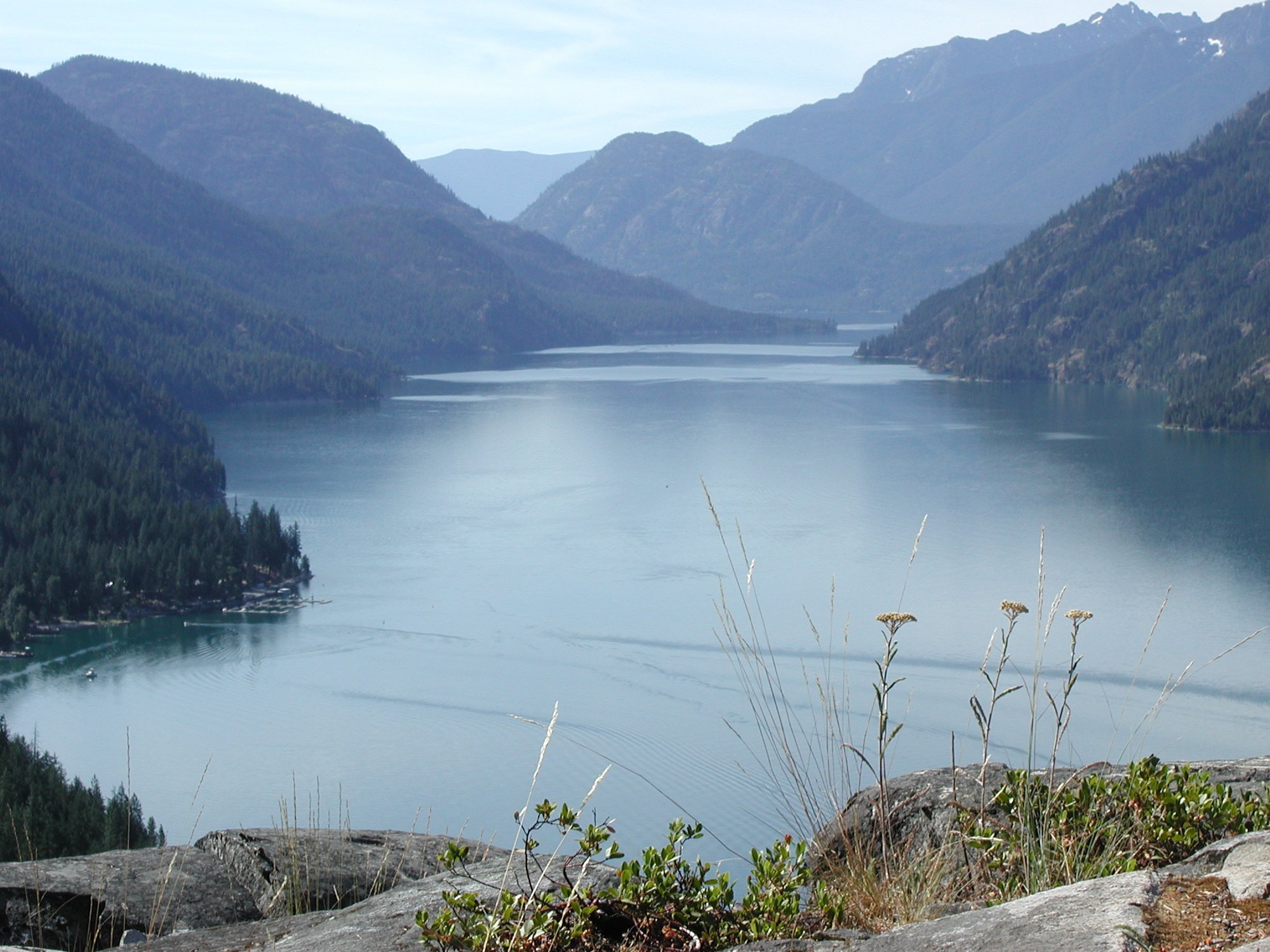
Lake Chelan
Sinlahekin Creek
Twisp River
Okanogan River
Pearrygin Creek
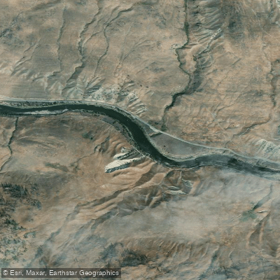
Similkameen River
Explore Washington waters
Top paddling waters
Popular Cities
Loading popular cities...
Explore near Chewuch River
Access points
Nearby waters
More in Washington

Smarter Paddling Starts in the App.
Paddleways gives you everything you need to plan smarter, paddle better, and own every trip from first launch to takeout.