Okanogan River
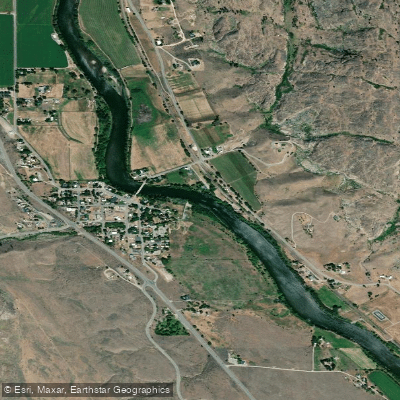
Okanogan River
- Boat Ramps
- 2
- Access Points
- 7
- Campsites
- 3
The Okanogan River is a significant waterway in north-central Washington, flowing southward from the U.S.-Canada border to its confluence with the Columbia River near Brewster. This 115-mile long river drains a watershed of approximately 8,200 square miles, encompassing diverse landscapes from the Cascade Mountains to the arid Okanogan Highlands. Paddling opportunities on the Okanogan River are primarily flatwater to Class I, making it an excellent destination for canoeists and kayakers of various skill levels. Two popular sections include the 14.5-mile stretch from Omak to Malott and the subsequent section from Malott to Monse. These sections offer scenic views of the surrounding landscape and provide a pleasant, leisurely paddling experience.
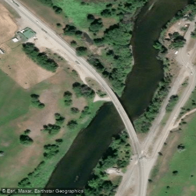
The river's flow is generally calm, with few significant rapids or obstacles. However, paddlers should be aware of the State Highway 20 bridge crossing about 0.7 miles downstream from Okanogan, which requires caution when approaching and passing underneath. The best time to paddle the Okanogan River is typically from late spring through early fall when water levels are moderate and temperatures are comfortable. Summer can bring hot weather, making the river an inviting place for a refreshing dip during your journey.
The Okanogan Valley supports a diverse ecosystem, with riparian habitats hosting various bird species and mammals such as deer and beaver. The river is also known for its excellent fishing opportunities, including bass, salmon, and steelhead. Steelhead fishing is particularly popular, with the season typically opening in early October and peaking in late November.
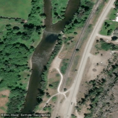
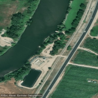
Key access points include Omak, Okanogan (with a public boat launch at the east end of Tyee Street), Malott, and Monse. These small towns provide convenient put-in and take-out locations, as well as opportunities for resupply and lodging for multi-day trips.
The Okanogan River holds significant cultural importance for the Confederated Tribes of the Colville Reservation, whose lands border much of the river's western bank. The river has been a vital resource for indigenous peoples for thousands of years, providing food, transportation, and spiritual significance.
Safety considerations include being prepared for changing weather conditions, as the Okanogan Valley can experience rapid temperature fluctuations. Paddlers should also be aware of potential agricultural runoff and practice Leave No Trace principles to help preserve the river's ecosystem.
For those interested in multi-day adventures, the Okanogan River can be combined with sections of the Columbia River for longer trips, offering a more immersive experience of the region's diverse landscapes and rich history. The Okanogan Trails Scenic Byway, which follows the river for 80 miles from the Canadian border to Pateros, provides an excellent opportunity for non-paddlers to explore the valley and access various points along the river.
Water access, boat ramps & amenities
Learn how to get on Okanogan River. Uncover great paddling access points, boat ramps, and all the facilities you need for an unforgettable day on the water. Some locations shown may border or include private property. Always check property boundaries and applicable regulations before visiting. PaddleWays's Public & Private Land layer can help you plan your access with confidence.

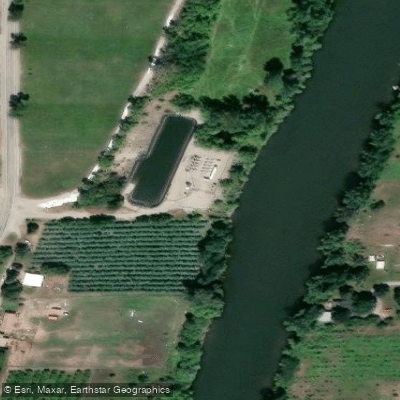
Paddle smarter with real-time insights
Whether you're en route and conditions shift or you're looking for the best spot based on current flows, we enable you to make informed decisions on the fly.








Find Places to Paddle

Over 400,000 Places to Paddle
Every user gets free access to launch points, boat ramps, and public property parcels.


Water and weather conditions (10 day forecast)
See the best times to paddle Okanogan River and check the forecast before you go.
OKANOGAN RIVER AT OROVILLE, WA
All Flow Stations
Paddling near Okanogan River
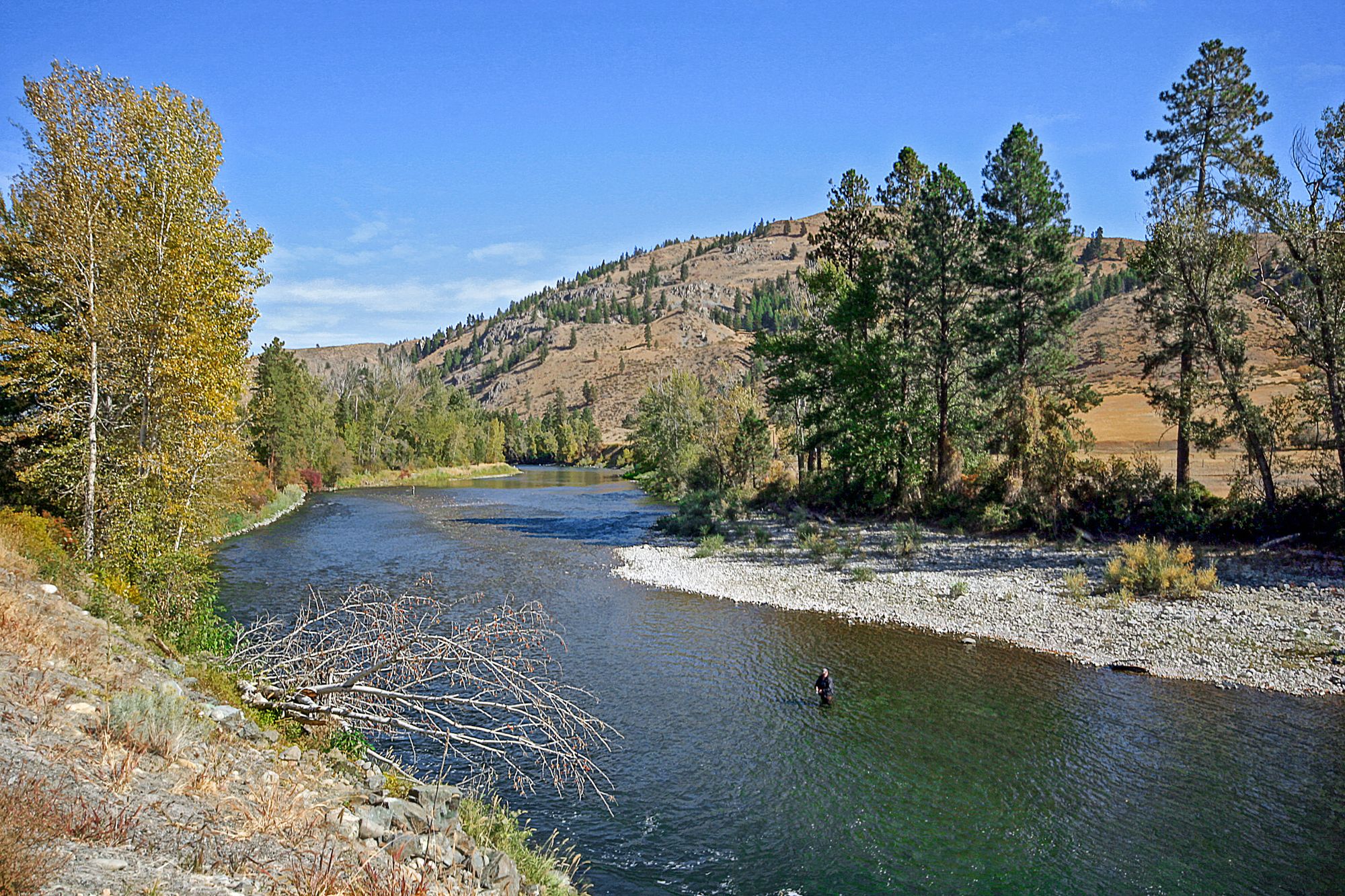
Methow River

Columbia River
Chewuch River
Twisp River
Sinlahekin Creek
Pearrygin Creek
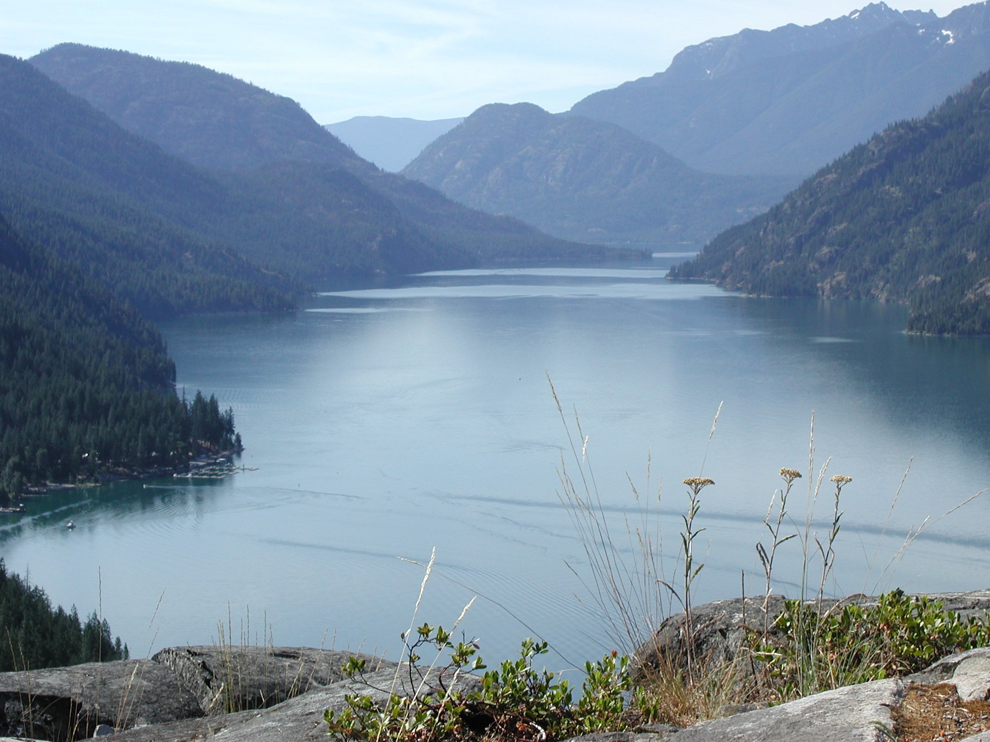
Lake Chelan
North Fork Salmon Creek
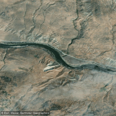
Similkameen River
Explore Washington waters
Top paddling waters
Popular Cities
Loading popular cities...
Explore near Okanogan River
Access points
Nearby waters
More in Washington

Smarter Paddling Starts in the App.
Paddleways gives you everything you need to plan smarter, paddle better, and own every trip from first launch to takeout.