Twisp River
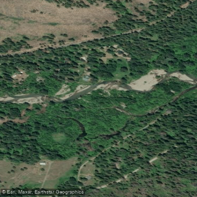
Twisp River
- Boat Ramps
- 0
- Access Points
- 1
- Campsites
- 12
The Twisp River is a significant tributary of the Methow River, originating in the Cascade Mountains of north-central Washington. It flows generally eastward through the scenic Methow Valley, joining the Methow River near the town of Twisp. The river stretches approximately 29 miles, draining a watershed within the Okanogan-Wenatchee National Forest. For paddlers, the Twisp River offers an exciting 10-mile stretch from Buttermilk Creek to the town of Twisp, known for its Class III whitewater. This section is popular among kayakers, rafters, and canoeists seeking a moderately challenging run through the beautiful landscape of Okanogan County.
The river's difficulty ranges from Class II to III, requiring intermediate skills and experience with swift water navigation. The optimal paddling season typically runs from late spring through early summer when snowmelt feeds the river. However, the Twisp can often be run into fall, with water levels and conditions varying based on precipitation and snowpack.
The river corridor supports diverse ecosystems, home to ponderosa pines, Douglas firs, and vibrant wildflower displays in spring and summer. Wildlife sightings may include deer, elk, and various bird species, with the possibility of encountering black bears or mountain lions.
Key landmarks along the Twisp River include Buttermilk Bridge, where many paddlers begin their journey, and the confluence with the Methow River in Twisp. The surrounding area offers hiking opportunities, such as the Twisp River Trail, which parallels portions of the river. Access to the put-in at Buttermilk Creek is via Twisp River Road and Buttermilk Creek Road, about 10 miles west of Twisp. The take-out is conveniently located in Twisp itself, making logistics straightforward for day trips.
Historically, the Twisp River valley was home to Native American tribes and later became part of the early settlement and mining history of the region. Today, it plays a crucial role in the local ecosystem and recreational economy.
Safety considerations include wearing appropriate protective gear, checking current flow levels, and being aware of potential strainers or log jams. Paddlers should also be mindful of private property along the riverbanks and follow Leave No Trace principles. While the Twisp River is primarily known for day trips, its proximity to the Methow River and surrounding national forest lands offers opportunities for multi-day adventures combining paddling with camping and hiking in the broader Methow Valley area.
Water access, boat ramps & amenities
Learn how to get on Twisp River. Uncover great paddling access points, boat ramps, and all the facilities you need for an unforgettable day on the water. Some locations shown may border or include private property. Always check property boundaries and applicable regulations before visiting. PaddleWays's Public & Private Land layer can help you plan your access with confidence.
Paddle smarter with real-time insights
Whether you're en route and conditions shift or you're looking for the best spot based on current flows, we enable you to make informed decisions on the fly.








Find Places to Paddle

Over 400,000 Places to Paddle
Every user gets free access to launch points, boat ramps, and public property parcels.


Water and weather conditions (10 day forecast)
See the best times to paddle Twisp River and check the forecast before you go.
METHOW RIVER AT TWISP, WA
All Flow Stations
Paddling near Twisp River
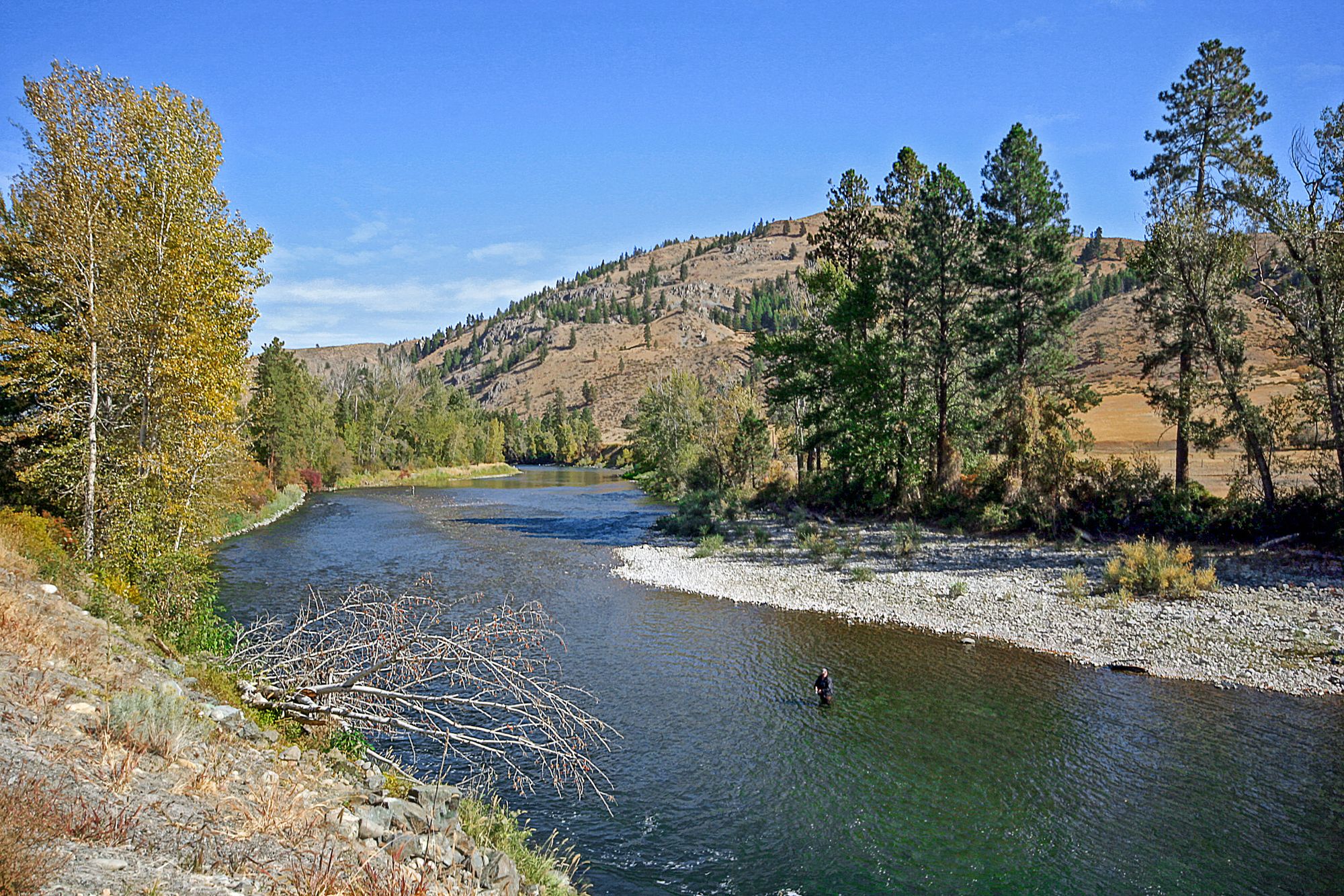
Methow River

Columbia River
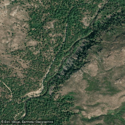
Chewuch River
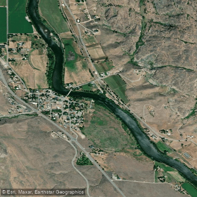
Okanogan River
Sinlahekin Creek
Pearrygin Creek
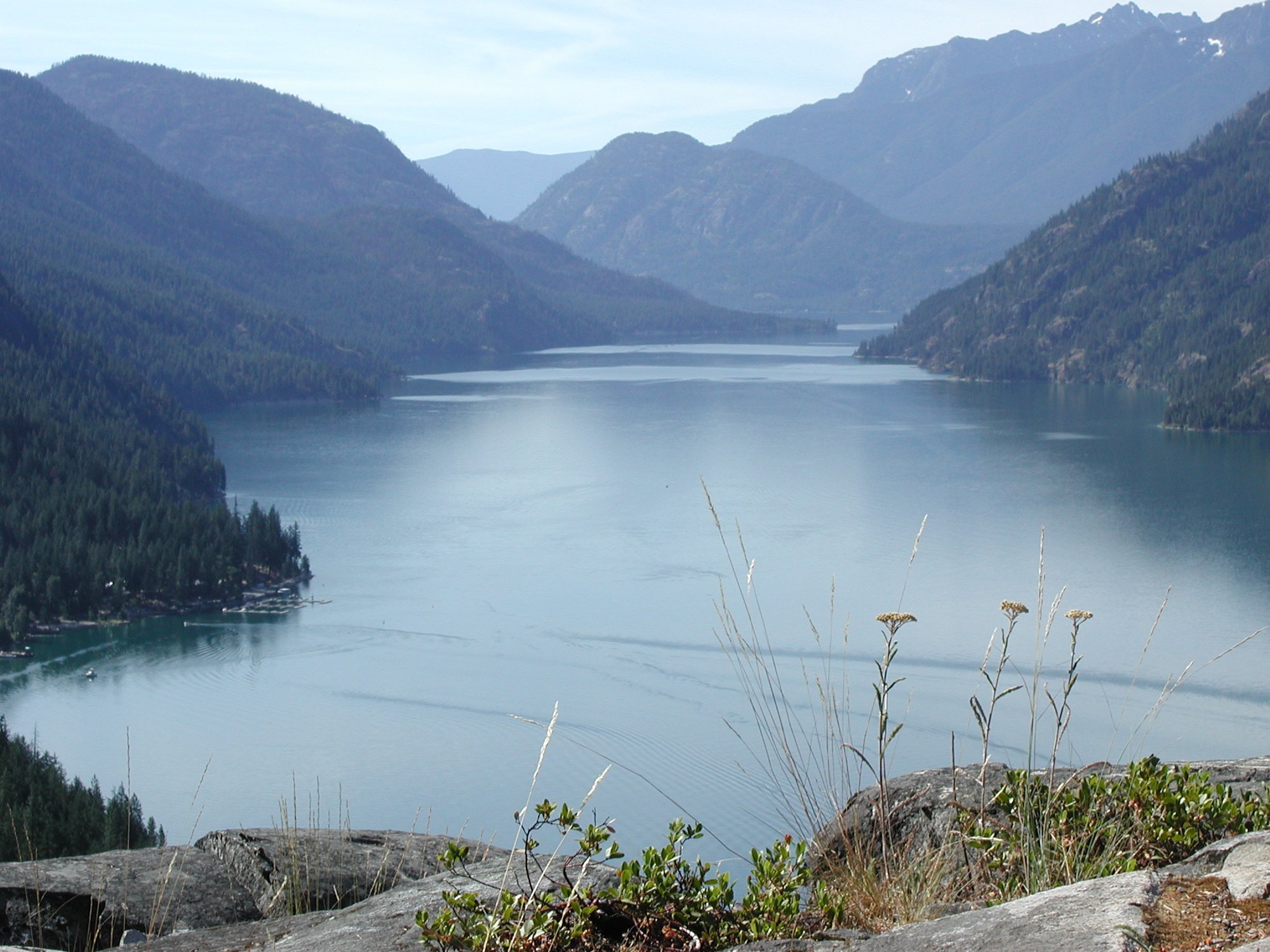
Lake Chelan
North Fork Salmon Creek
Similkameen River
Explore Washington waters
Top paddling waters
Popular Cities
Loading popular cities...
Explore near Twisp River
Access points
Nearby waters
More in Washington

Smarter Paddling Starts in the App.
Paddleways gives you everything you need to plan smarter, paddle better, and own every trip from first launch to takeout.