Lake Sacajawea
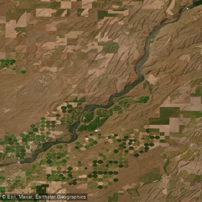
Lake Sacajawea
- Boat Ramps
- 5
- Access Points
- 6
- Campsites
- 2
Lake Sacajawea is a 9,200-acre reservoir on the Snake River in southeastern Washington, formed by Ice Harbor Dam. The lake extends through Franklin and Walla Walla Counties, offering paddlers a unique desert canyon environment with basalt cliffs, shrub-steppe ecology, and occasional juniper stands.
**Access Points & Launch Sites** The US Army Corps of Engineers maintains several boat launches and parks along the lake, including Charbonneau Park, Fishhook Park, and Hood Park. These facilities provide boat ramps, parking (though crowding is common during peak season), and basic amenities. According to user reports, parking at launch ramps can be a significant constraint, with wait times during busy summer weekends. Some paddlers report preferring to visit on weekdays to avoid crowds.
**Paddling Conditions** The lake is well-suited for recreational kayaking and canoeing, though paddlers should be prepared for wind exposure typical of eastern Washington's Columbia Basin. The reservoir's orientation often funnels winds, which can create choppy conditions, particularly in the afternoon. Spring offers the calmest conditions and highest water levels. The Tapteal Water Trail, established for paddlers, begins upstream at Benton City and extends approximately 30 miles downstream to Bateman Island, mirroring the land-based Tapteal Greenway Trail.
**Wildlife & Scenery** The lake supports diverse wildlife including waterfowl, shorebirds, raptors, and occasional sightings of deer, elk, and river otters. The surrounding shrub-steppe habitat transitions into irrigated agricultural land in places. The area offers excellent views of the rolling wheat country and desert landscapes characteristic of the region.
**Considerations** Summer temperatures regularly exceed 90°F with minimal shade, so sun protection and adequate water are essential. Boaters should be aware of commercial barge traffic and recreational motorboat activity, especially on weekends. Train noise affects some areas near the shore.
Water access, boat ramps & amenities
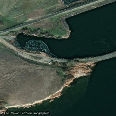
Learn how to get on Lake Sacajawea. Uncover great paddling access points, boat ramps, and all the facilities you need for an unforgettable day on the water. Some locations shown may border or include private property. Always check property boundaries and applicable regulations before visiting. PaddleWays's Public & Private Land layer can help you plan your access with confidence.
Paddle smarter with real-time insights
Whether you're en route and conditions shift or you're looking for the best spot based on current flows, we enable you to make informed decisions on the fly.








Find Places to Paddle

Over 400,000 Places to Paddle
Every user gets free access to launch points, boat ramps, and public property parcels.


Water and weather conditions (10 day forecast)
See the best times to paddle Lake Sacajawea and check the forecast before you go.
No forecast data available.
Paddling near Lake Sacajawea
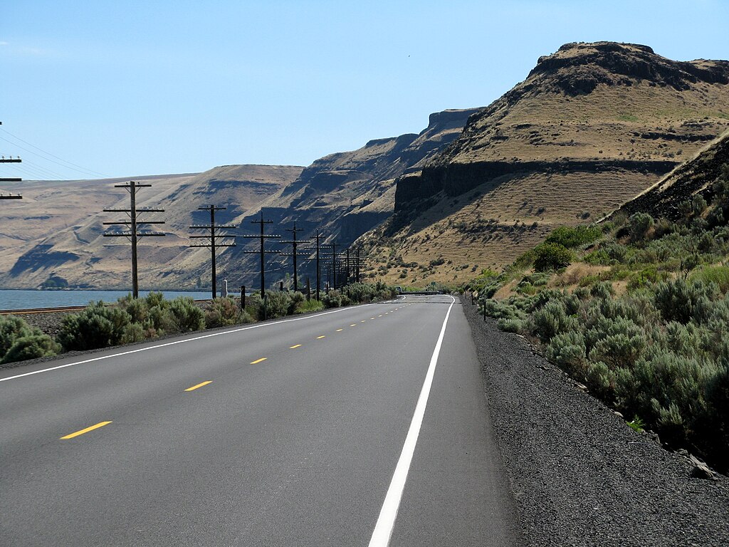
Lake Wallula

Columbia River
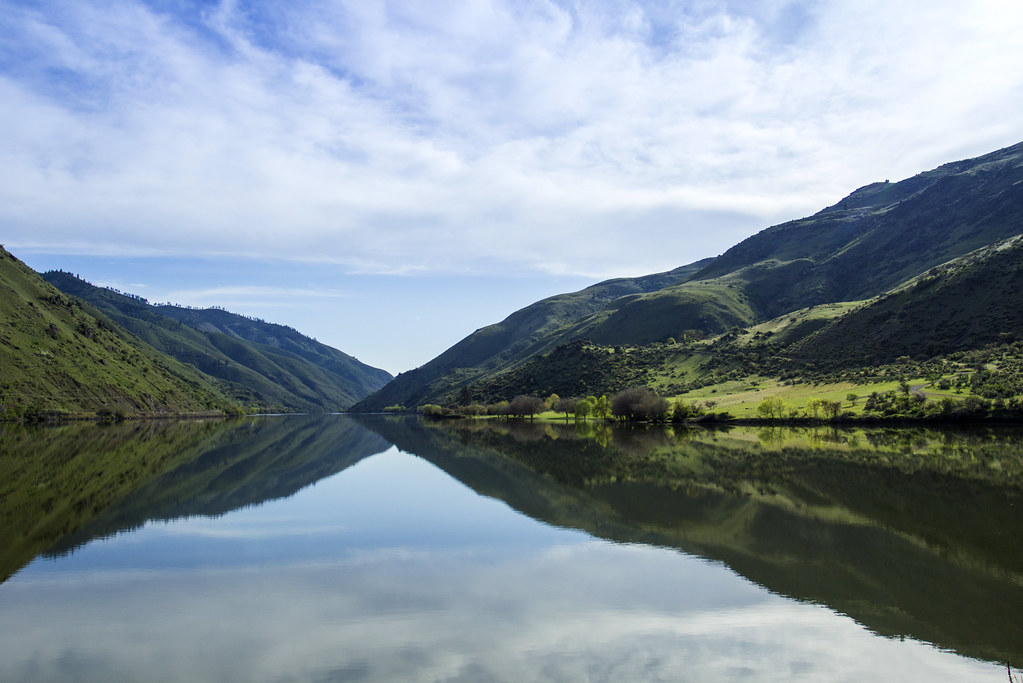
Snake River
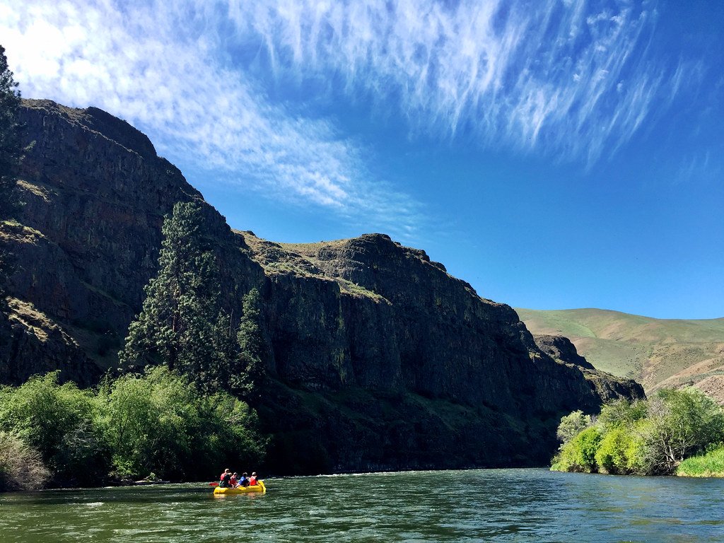
Yakima River
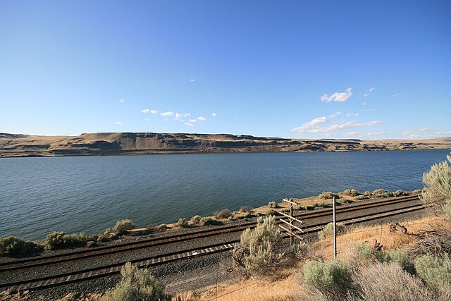
Lake Umatilla
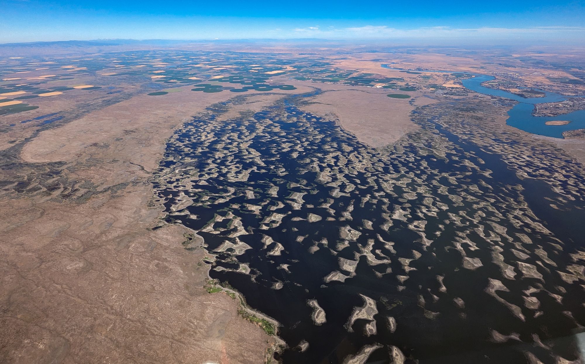
Potholes Reservoir
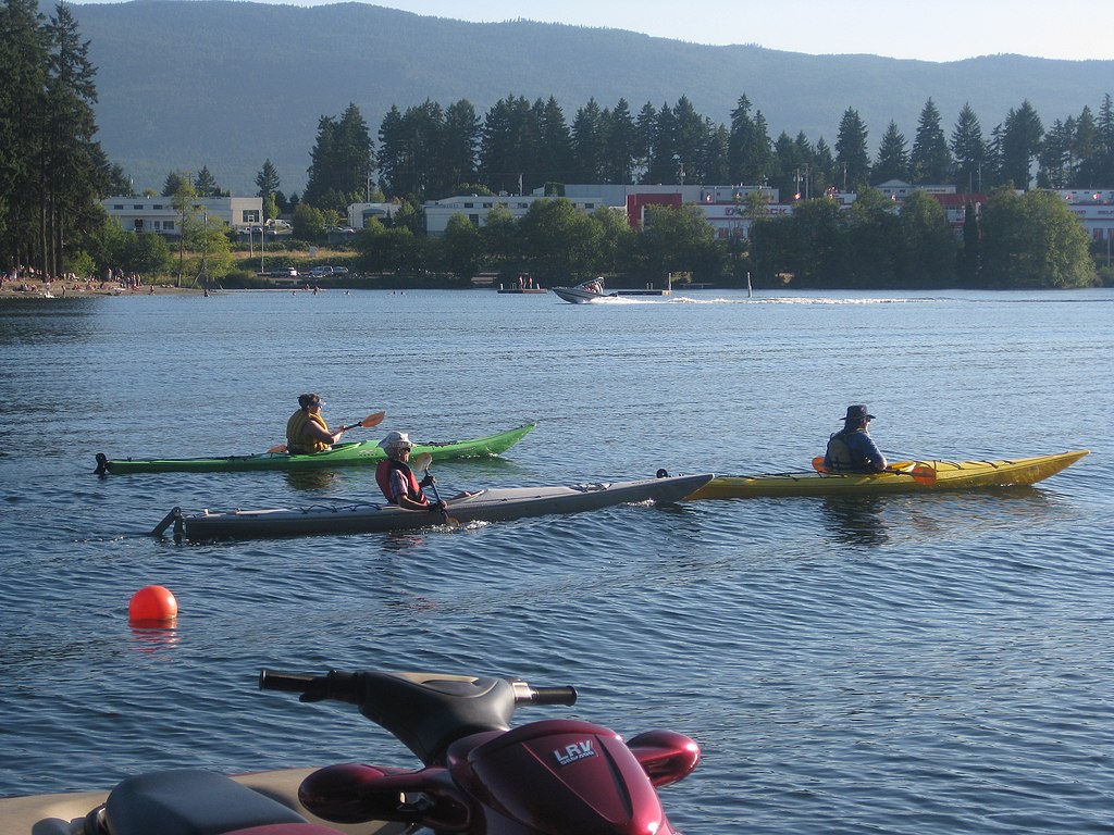
Long Lake
Walla Walla River
Lake Herbert G West
Explore Washington waters
Top paddling waters
Popular Cities
Loading popular cities...
Explore near Lake Sacajawea
Access points
Nearby waters
More in Washington

Smarter Paddling Starts in the App.
Paddleways gives you everything you need to plan smarter, paddle better, and own every trip from first launch to takeout.