Lake Umatilla
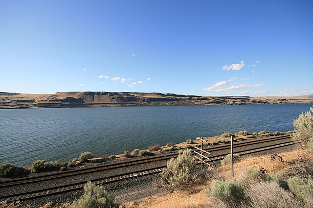
Lake Umatilla
- Boat Ramps
- 16
- Access Points
- 18
- Campsites
- 9
Lake Umatilla, also known as Umatilla Reservoir, is a 110-mile stretch of the Columbia River between John Day Dam and McNary Dam along the Washington-Oregon border. This 48,000-acre lake offers diverse paddling opportunities with over 220 miles of shoreline. The lake's elevation is 268 feet above sea level.
Multiple boat launch ramps provide access, including Crow Butte Park, Plymouth, Railroad Island Park, Rock Creek, and Sundale Park. These ramps have concrete lanes, docks, and parking areas. Non-motorized boats like canoes and kayaks are permitted.
Popular fish species include smallmouth and largemouth bass, walleye, crappie, and catfish. Salmon and steelhead also pass through seasonally. Wildlife such as mule deer, waterfowl, and birds of prey can be observed along the shoreline.
The lake experiences a high desert climate. Mature shade trees line portions of the grassy banks. Water levels can fluctuate significantly, which paddlers should be aware of when planning trips.
Facilities at Lepage Park campground include flush toilets, showers, drinking water, and a boat ramp. Additional campgrounds and RV parks are located around the lake. Swimming and water skiing are popular summer activities.
Paddlers should be cautious of boat traffic, especially in the main channel. The lake can experience strong winds. Personal flotation devices are required. An Aquatic Invasive Species permit is needed for boats 10 feet and longer.
While specific paddling routes are not outlined, the numerous coves and inlets along the shoreline offer opportunities for exploration. The best seasons for paddling are likely spring through fall when temperatures are milder.
Water access, boat ramps & amenities
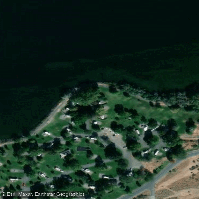
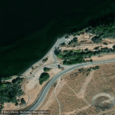
Learn how to get on Lake Umatilla. Uncover great paddling access points, boat ramps, and all the facilities you need for an unforgettable day on the water. Some locations shown may border or include private property. Always check property boundaries and applicable regulations before visiting. PaddleWays's Public & Private Land layer can help you plan your access with confidence.
Paddle smarter with real-time insights
Whether you're en route and conditions shift or you're looking for the best spot based on current flows, we enable you to make informed decisions on the fly.








Find Places to Paddle

Over 400,000 Places to Paddle
Every user gets free access to launch points, boat ramps, and public property parcels.


Water and weather conditions (10 day forecast)
See the best times to paddle Lake Umatilla and check the forecast before you go.
COLUMBIA RIVER AT JOHN DAY DAM NAVIGATION LOCK, WA
Paddling near Lake Umatilla

Columbia River
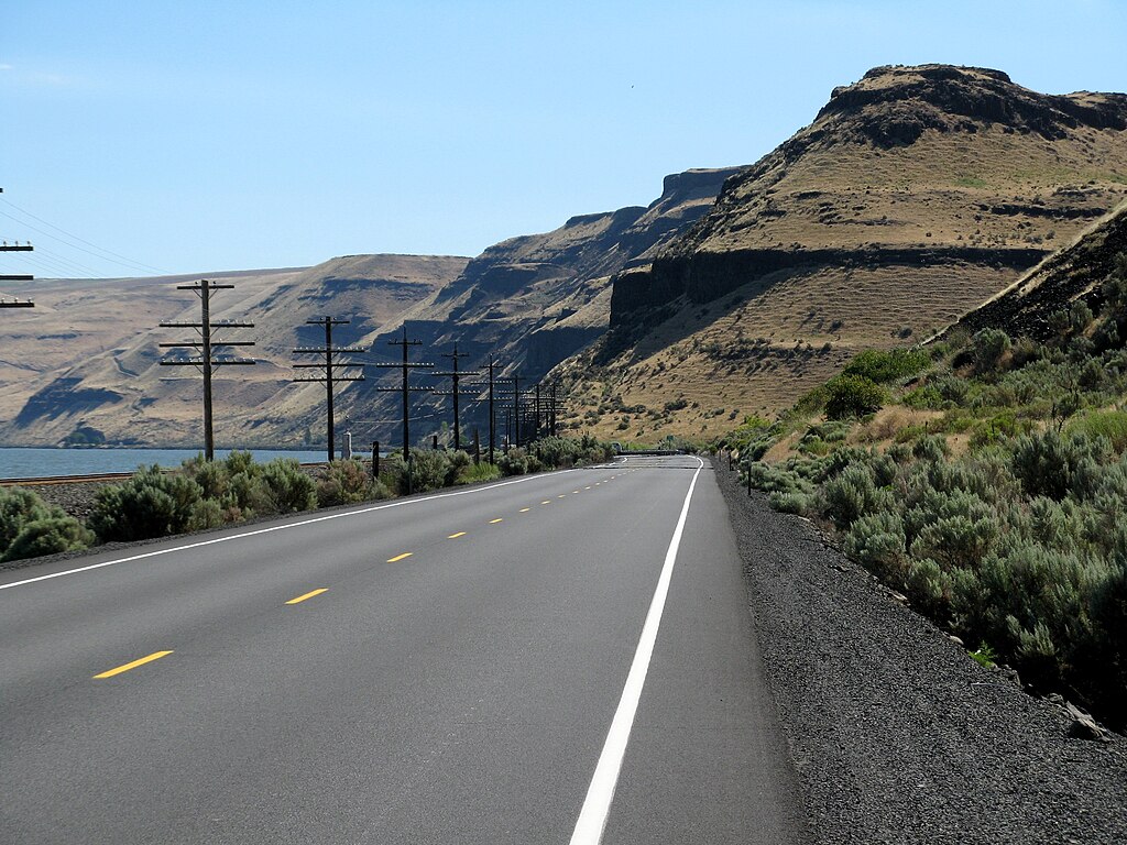
Lake Wallula
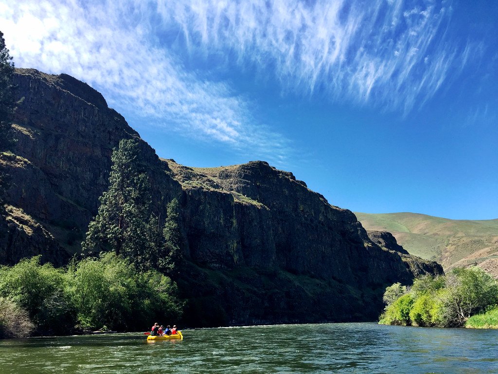
Yakima River
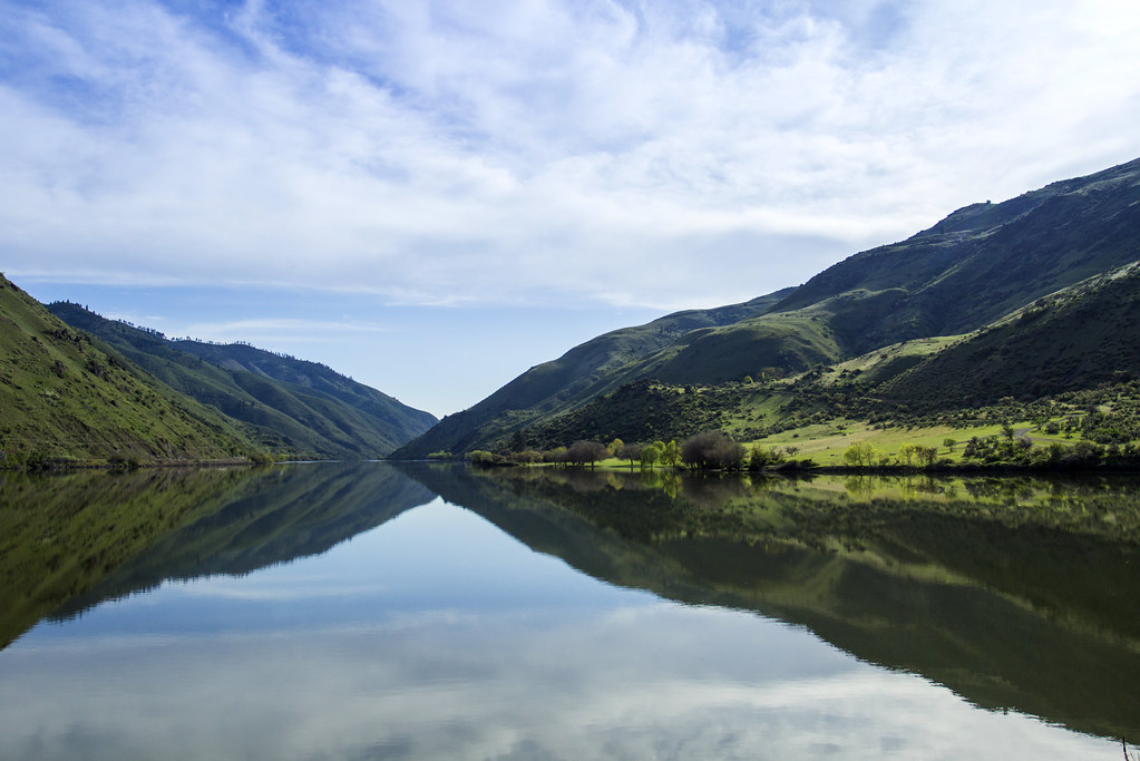
Snake River
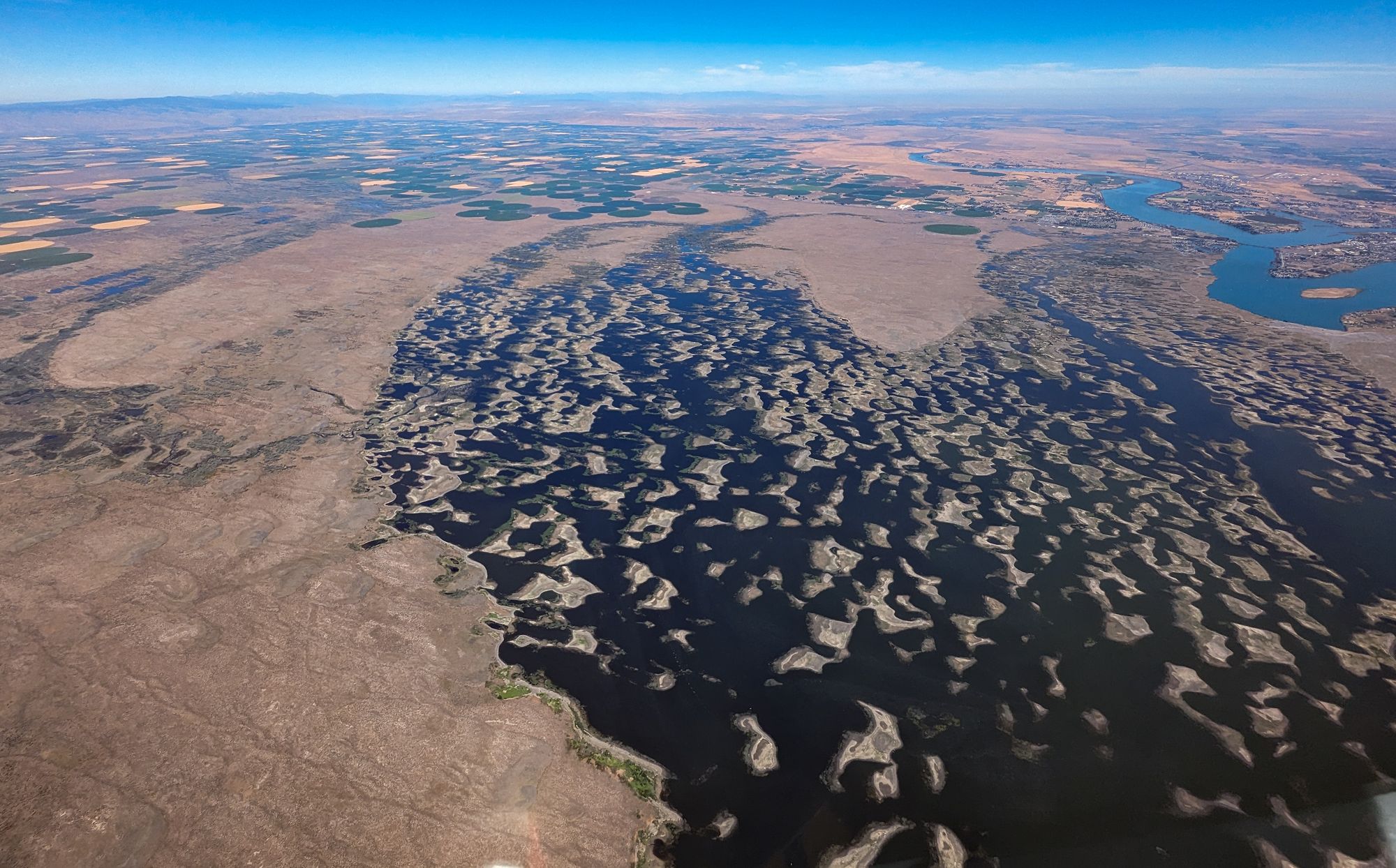
Potholes Reservoir
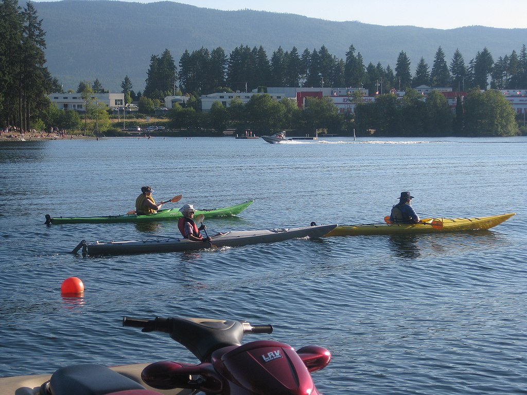
Long Lake
Lake Sacajawea
Walla Walla River
Cold Springs Reservoir
Explore Oregon waters
Top paddling waters
Popular Cities
Loading popular cities...
Explore near Lake Umatilla
Access points
- Pasture Point Treaty Fishing Access Site Boat Ramp
- Quesnel Park Boat Ramp
- Blalock Canyon Boat Ramp
- Sundale Park Boat Ramp
- Railroad Island Boat Ramp
- Port of Arlington Marina Boat Ramp
- Rock Creek Boat Ramp
- Boardman Marina Park Boat Ramp
- Umatilla Marina Park Boat Ramp
- Irrigon Marina Boat Ramp
- Crow Butte State Park Boat Ramp
- Roosevelt Park Boat Ramp
- All 44 spots
Nearby waters
More in Oregon

Smarter Paddling Starts in the App.
Paddleways gives you everything you need to plan smarter, paddle better, and own every trip from first launch to takeout.