Walla Walla River
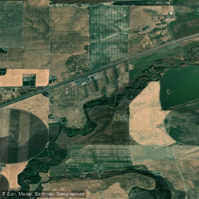
Walla Walla River
- Boat Ramps
- 1
- Access Points
- 2
- Campsites
- 0
The Walla Walla River originates in the Blue Mountains of northeastern Oregon, flowing westward through southeastern Washington before joining the Columbia River just above Wallula Gap. Its major tributary is the Touchet River, which confluences with the Walla Walla near the town of Touchet, Washington. The river system drains a watershed of approximately 1,758 square miles across the two states.
Paddling opportunities on the Walla Walla are primarily concentrated on its lower reaches as it approaches the Columbia. This section offers a flatwater to Class I experience, characterized by deep oxbows with steep, brushy banks. The meandering nature of the river creates a leisurely paddling environment ideal for kayaking and fishing, particularly for smallmouth bass. The river's difficulty is generally suitable for beginners, though wind conditions can occasionally present challenges.
Late spring through early fall provides the best paddling conditions, with autumn offering particularly scenic views as foliage colors peak along the riverbanks. Flora along the lower Walla Walla includes big sage on the hillsides and a variety of riparian vegetation lining the banks. Wildlife enthusiasts may spot numerous bird species, and the river supports populations of steelhead and bull trout.
Key landmarks include the confluence with the Touchet River and the river's mouth at the Columbia. The town of Walla Walla serves as a primary access point, with additional put-ins available near Milton-Freewater, Oregon and at various points as the river approaches the Columbia.
Historically, the Walla Walla River valley was home to the Walla Walla and Cayuse tribes. The river played a crucial role in early settlement and agricultural development of the region, particularly for its importance in irrigation.
Safety considerations include checking water levels and wind conditions before embarking. Regulations are minimal for private paddlers, but commercial outfitters require permits. While multi-day trips are less common on the Walla Walla itself, paddlers seeking longer adventures often combine it with sections of the nearby Snake or Columbia Rivers. The relatively calm nature of the lower Walla Walla makes it an excellent warm-up or conclusion for more extensive regional paddling itineraries.
Water access, boat ramps & amenities
Learn how to get on Walla Walla River. Uncover great paddling access points, boat ramps, and all the facilities you need for an unforgettable day on the water. Some locations shown may border or include private property. Always check property boundaries and applicable regulations before visiting. PaddleWays's Public & Private Land layer can help you plan your access with confidence.
Paddle smarter with real-time insights
Whether you're en route and conditions shift or you're looking for the best spot based on current flows, we enable you to make informed decisions on the fly.








Find Places to Paddle

Over 400,000 Places to Paddle
Every user gets free access to launch points, boat ramps, and public property parcels.


Water and weather conditions (10 day forecast)
See the best times to paddle Walla Walla River and check the forecast before you go.
WALLA WALLA RIVER AT MILTON-FREEWATER, OR
All Flow Stations
Paddling near Walla Walla River
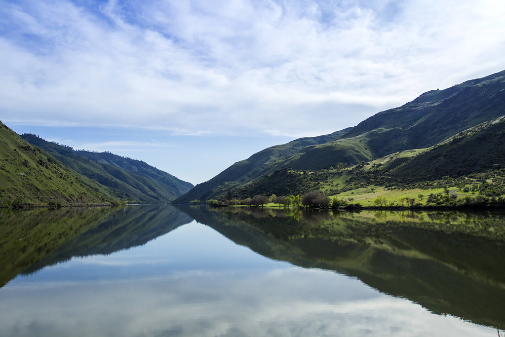
Snake River
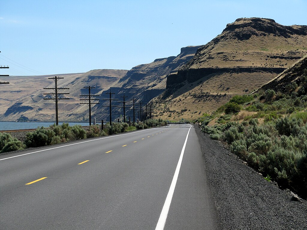
Lake Wallula

Columbia River
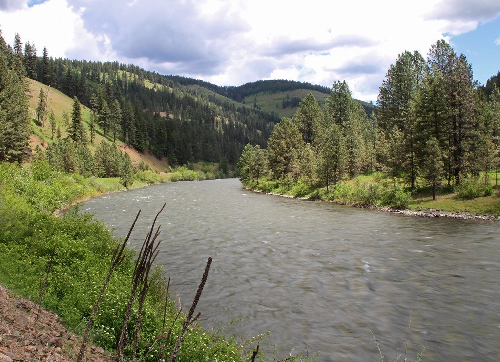
Grande Ronde River
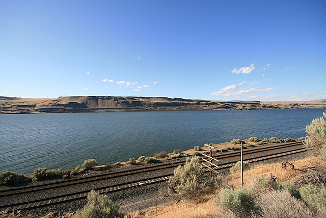
Lake Umatilla
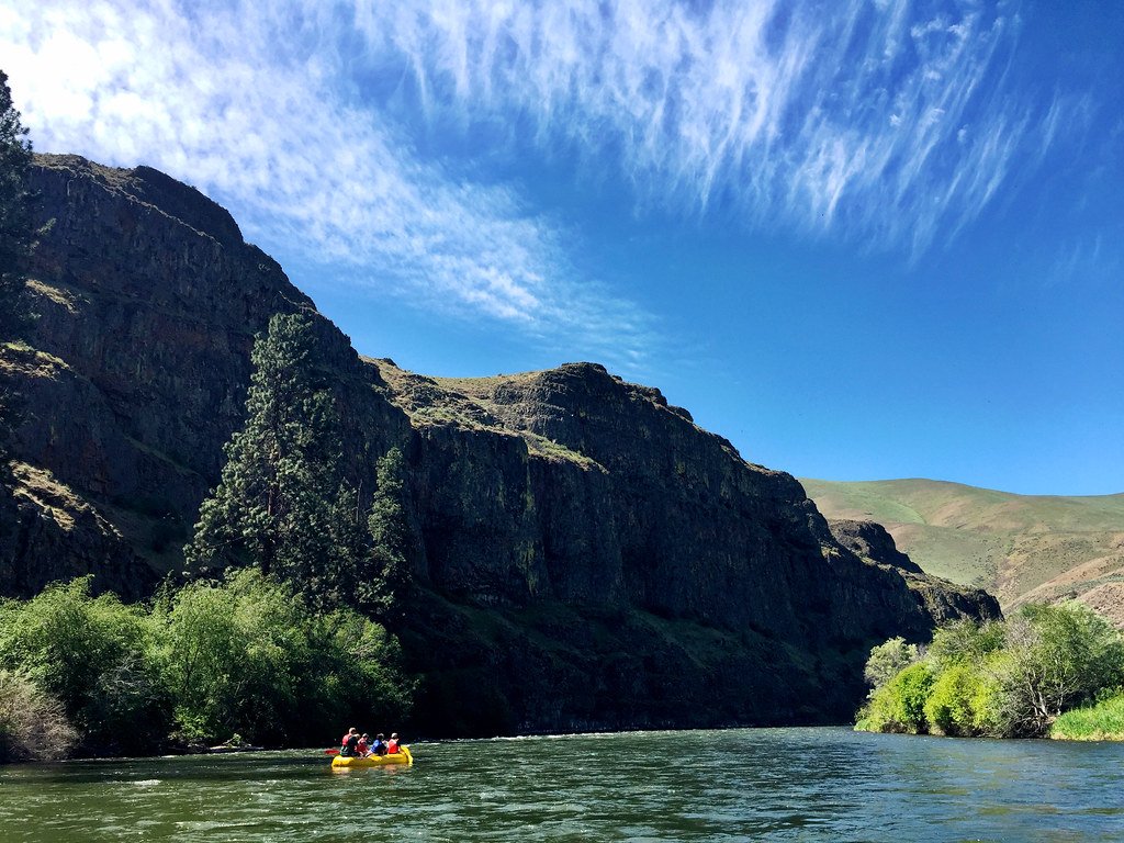
Yakima River
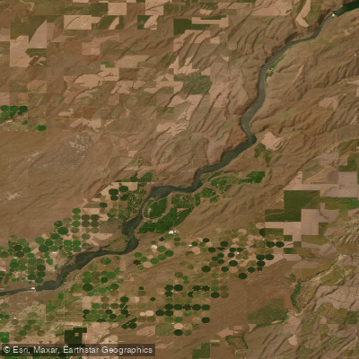
Lake Sacajawea
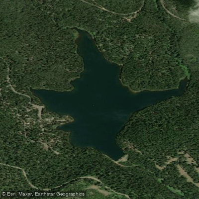
Jubilee Lake
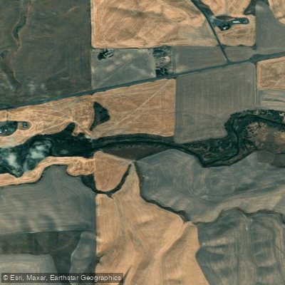
Touchet River
Explore Oregon waters
Top paddling waters
Popular Cities
Loading popular cities...
Explore near Walla Walla River
Access points
- Madame Dorion Memorial Park Boat Ramp
- McDonald Bridge Access
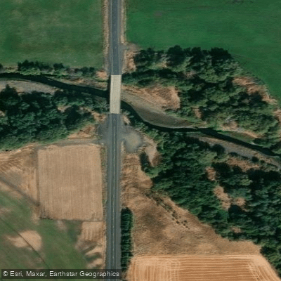
- Walla Walla River Bridge
- Walla Walla River Bridge
- Walla Walla River Bridge
- Walla Walla River Bridge
- Walla Walla River Bridge
- Walla Walla River Bridge
- Walla Walla R Bridge
- Walla Walla River Bridge
- Walla Walla River Bridge
- Walla Walla River Bridge
- All 56 spots
Nearby waters
More in Oregon

Smarter Paddling Starts in the App.
Paddleways gives you everything you need to plan smarter, paddle better, and own every trip from first launch to takeout.