Sanpoil River Arm
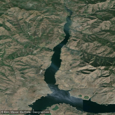
Sanpoil River Arm
- Boat Ramps
- 0
- Access Points
- 0
- Campsites
- 6
The Sanpoil River Arm is a section of Lake Roosevelt in Washington state, formed by the flooding of the lower Sanpoil River when Grand Coulee Dam was built. This arm extends approximately 12 miles upstream from where the Sanpoil River joins the Columbia River. The area offers a mix of open water paddling on Lake Roosevelt and a more riverine experience further upstream.
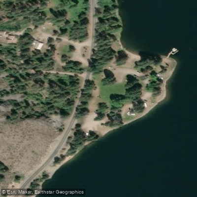
Access to the Sanpoil Arm is available via State Route 21, which follows the west shore. Keller Park Campground, located beside the lake, provides a potential put-in point for paddlers. The surrounding landscape features rolling shrub steppe, riparian forest along the river, and ponderosa pine forest extending from the waterline to mountain slopes.
Paddlers can expect to encounter a variety of wildlife. The area hosts numerous fish species, including rainbow trout, kokanee salmon, smallmouth bass, and walleye. Bird watchers may spot various passerines, woodpeckers, waterfowl, and other waterbirds, particularly during spring and summer.
It's important to note that the Sanpoil Arm is part of the Colville Indian Reservation. Paddlers should be aware of and respect any tribal regulations that may apply to water access and use. Additionally, the presence of non-native predatory fish like smallmouth bass and walleye at the river/lake interface may impact native fish populations.
Water conditions can vary seasonally. Spring snowmelt and heavy rains have caused significant flooding in the past, as evidenced by a major flood event in 2017. Paddlers should be prepared for potential wind, especially in open areas of Lake Roosevelt.
The Sanpoil Arm offers a unique paddling experience that combines the history of the Columbia River dam system, the cultural significance of the Sanpoil people, and the diverse ecosystems of eastern Washington.
Water access, boat ramps & amenities
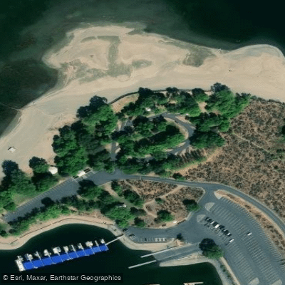
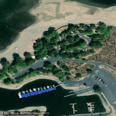
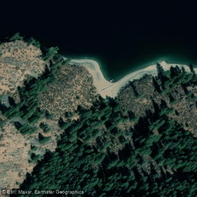
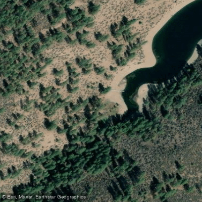
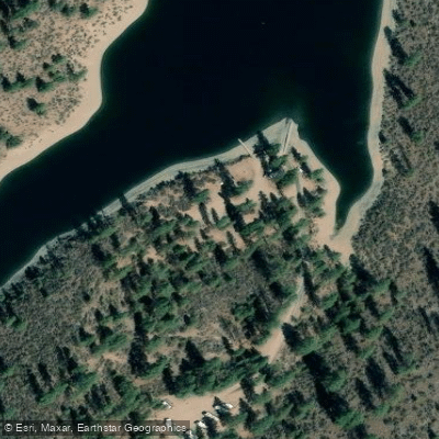
Learn how to get on Sanpoil River Arm. Uncover great paddling access points, boat ramps, and all the facilities you need for an unforgettable day on the water. Some locations shown may border or include private property. Always check property boundaries and applicable regulations before visiting. PaddleWays's Public & Private Land layer can help you plan your access with confidence.
Paddle smarter with real-time insights
Whether you're en route and conditions shift or you're looking for the best spot based on current flows, we enable you to make informed decisions on the fly.








Find Places to Paddle

Over 400,000 Places to Paddle
Every user gets free access to launch points, boat ramps, and public property parcels.


Water and weather conditions (10 day forecast)
See the best times to paddle Sanpoil River Arm and check the forecast before you go.
No forecast data available.
Paddling near Sanpoil River Arm

Columbia River
Banks Lake
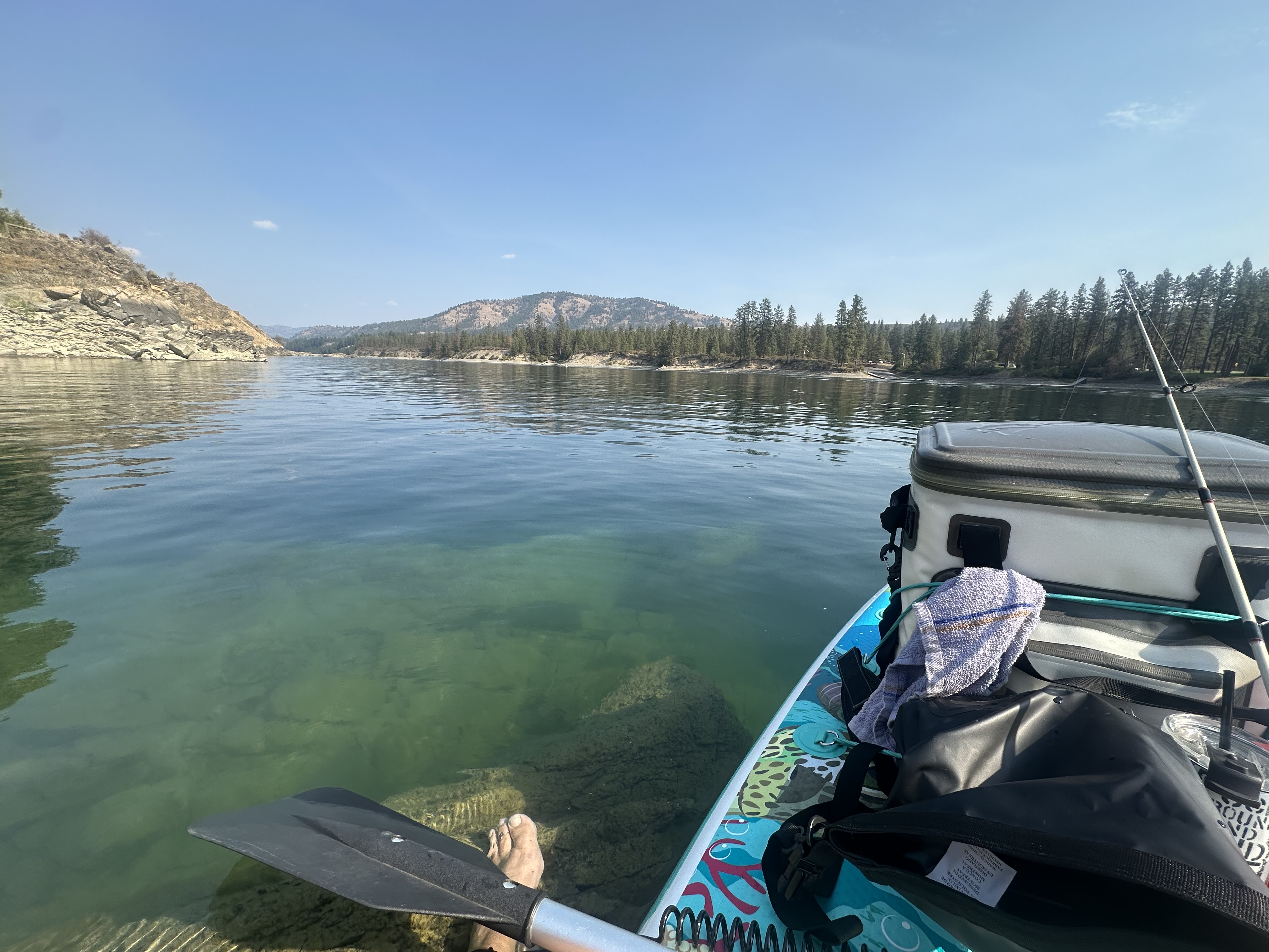
Spokane River
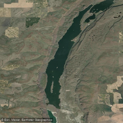
Lenore Lake
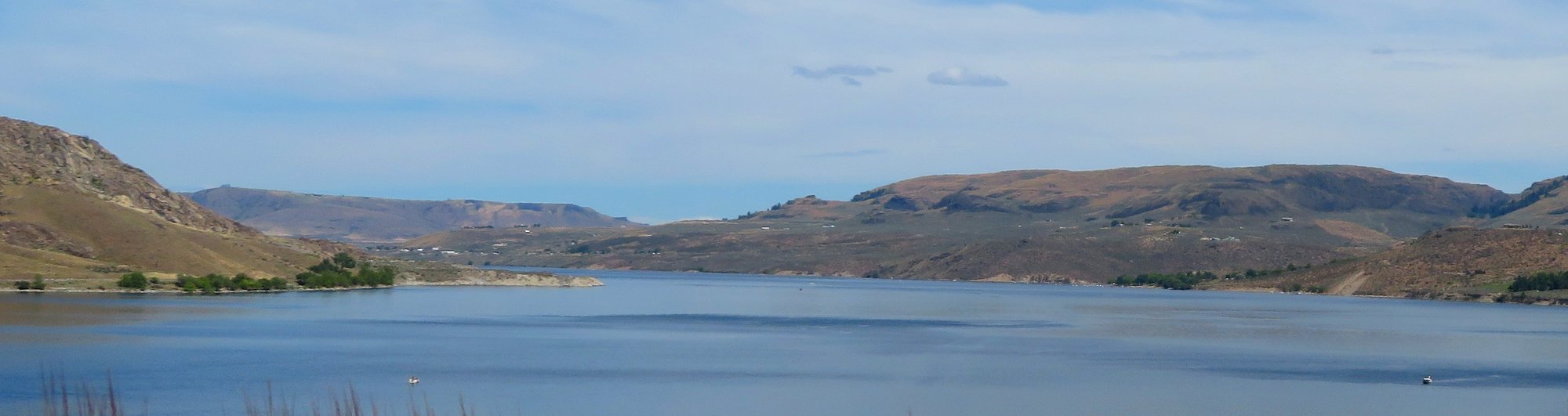
Franklin D Roosevelt Lake
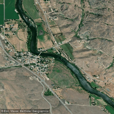
Okanogan River
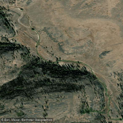
Hawk Creek
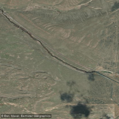
Crab Creek
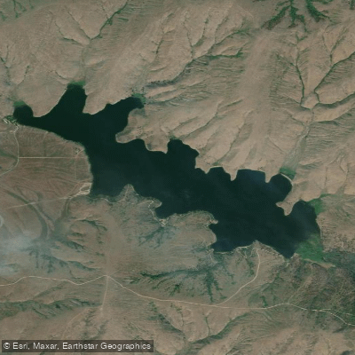
Buffalo Lake
Explore Washington waters
Top paddling waters
Popular Cities
Loading popular cities...
Explore near Sanpoil River Arm
Access points
Nearby waters
More in Washington

Smarter Paddling Starts in the App.
Paddleways gives you everything you need to plan smarter, paddle better, and own every trip from first launch to takeout.