Paddling in West Virginia
- Lakes
- 149
- Rivers
- 8,720
- Access
- 316
- Boat Ramps
- 546
- Shops
- 5
West Virginia is the gravitational center of eastern American whitewater — a small, rural state where rivers are the economy, the culture, and the calendar.
The headline acts are the Gauley and the New, but the deeper story runs through a dense network of rain-fed creeks, a real flatwater system most outsiders never hear about, and a paddling community whose oral history is mostly conservation fights.
The Gauley earned its "Beast of the East" reputation honestly.
Below Summersville Dam, the Upper Gauley packs five named Class V rapids — Initiation, Pillow Rock, Shipwreck among them — into a continuous canyon that only really comes alive during Gauley Season, the six weekends of mandated Army Corps releases starting the Friday after Labor Day.
That release schedule exists because of a 1986 Act of Congress, and it's worth knowing the access wrinkles that come with it: the Mason's Branch take-out is private land that American Whitewater leases annually, and on release weekends private boaters park at the Legg field and ride a free NPS shuttle.
The Lower Gauley drops the difficulty to Class IV but keeps the playboating — Diagonal Ledges and 5 Boat Hole are the features people travel for.
The third weekend of September, GauleyFest takes over Summersville: the largest paddling festival in the world, born in 1983 to celebrate killing a proposed dam. The New River Gorge runs colder and longer in the calendar.
The Lower New through the Gorge — Cunard to Fayette Station, Class III–IV, seven miles — has reliable water year-round and carries most of the commercial traffic; the Upper New from Hinton is a friendly Class II–III family run.
At high water the Dries section becomes a genuinely big-water surf zone, with waves that show up on the short list of best surf spots in the country.
Cheat Canyon is the Morgantown classic — about ten miles of free-flowing Class III–IV through Decision, Big Nasty, and Coliseum, rain-dependent and famously flood-prone.
The first weekend of May, Friends of the Cheat throws Cheat Fest in Albright, anchored by a mass-start downriver race and funding the watershed group's ongoing acid-mine-drainage work. Decades of that work is the reason the Cheat is still paddleable.
When the commercial season ends, the local creek crews come out. Mann's Creek drops 1,300 feet in five miles of Class V starting at the Babcock grist mill. The Lower Meadow runs Brink of Disaster and Coming Home Sweet Jesus through winter and spring.
Blackwater's upper sections are continuous, consequential Class V. The trade-off is cold water, ice in the eddies, and sleet between rapids — which is exactly why a particular kind of paddler bases out of Fayetteville year-round.
The flatwater map is quieter and surprisingly developed. Fourteen WVDNR water trails, including the Coal River system and the 60-mile Bloody Mingo through Hatfield-McCoy country.
The Greenbrier winds the length of Pocahontas County alongside its 78-mile rail-trail, which makes for an unusually clean paddle-and-camp setup.
Summersville Lake — the same reservoir that feeds the Gauley — turns clear and flat in summer for SUP and recreational kayaking once the dam stops releasing.
One last note worth carrying: the North Branch Potomac at Barnum runs 50–55°F all year because the flow comes off the bottom of the reservoir. Even in August, dress for the water, not the air.
Top waters to paddle near West Virginia
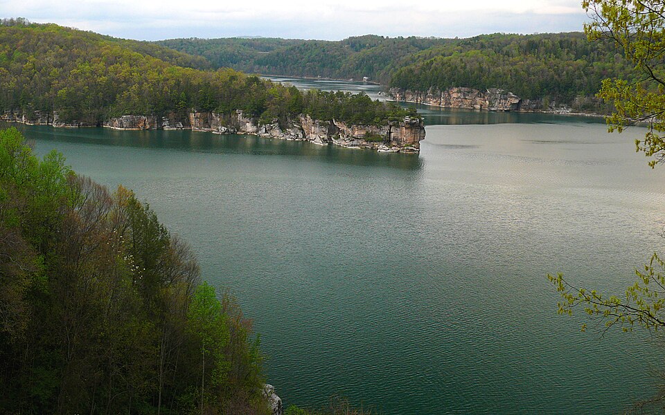
Summersville Lake
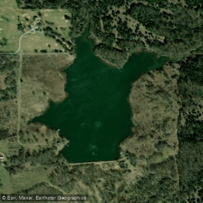
Stonewall Lake
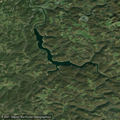
Tygart Lake
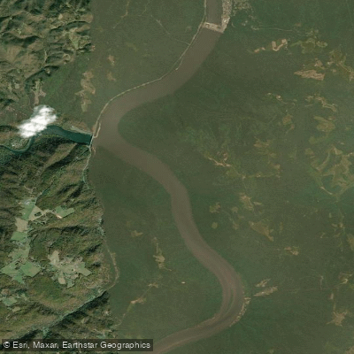
Bluestone Lake
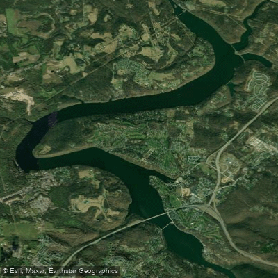
Cheat Lake
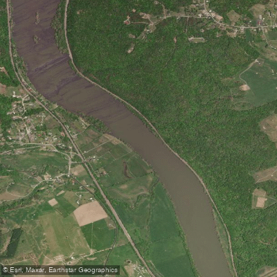
New River
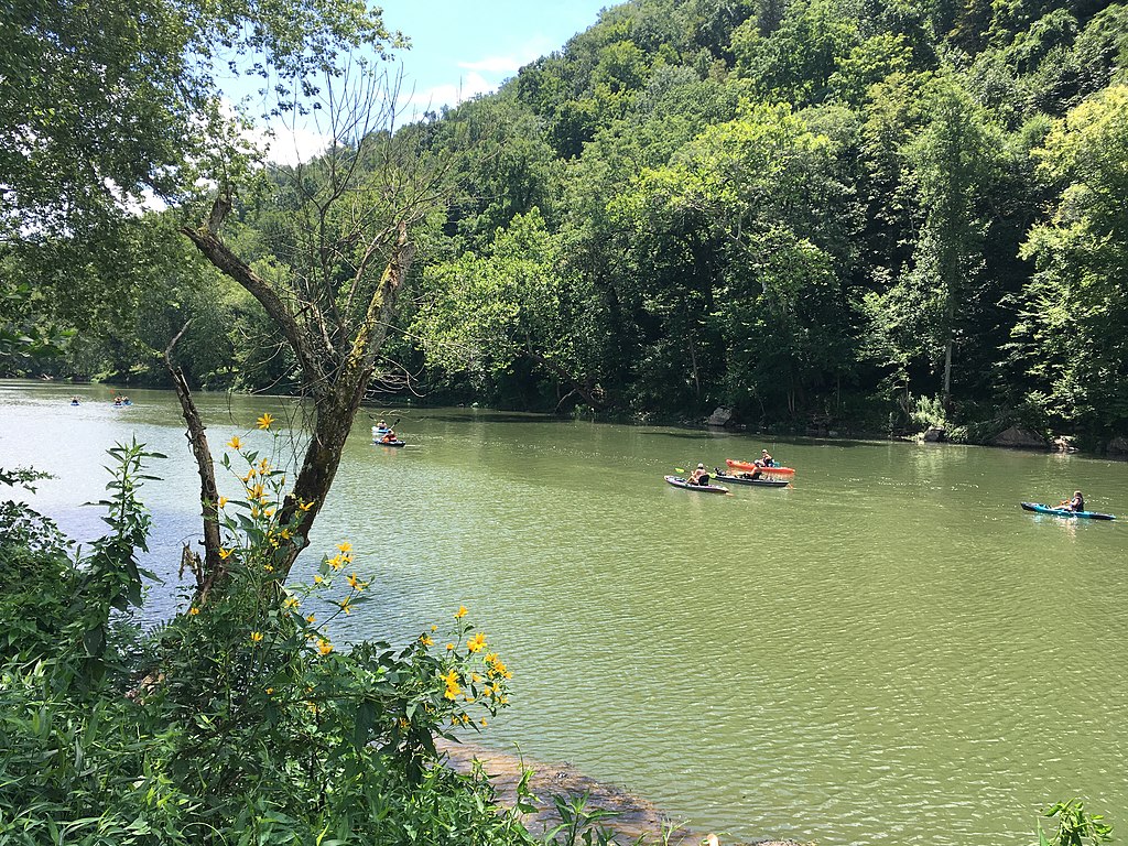
Greenbrier River

Ohio River
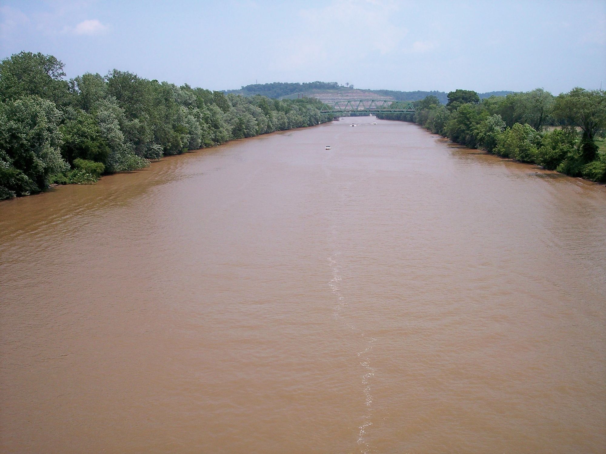
Kanawha River
Sutton Lake
Paddle smarter with real-time insights
Whether you're en route and conditions shift or you're looking for the best spot based on current flows, we enable you to make informed decisions on the fly.







West Virginia licenses and regulations
National parks in West Virginia
Explore West Virginia waters
Top paddling waters
Popular Cities
Loading popular cities...

Smarter Paddling Starts in the App.
Paddleways gives you everything you need to plan smarter, paddle better, and own every trip from first launch to takeout.