Greenbrier River
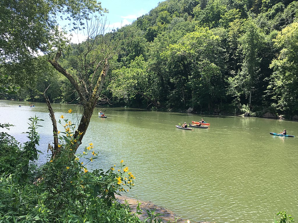
Greenbrier River
- Boat Ramps
- 17
- Access Points
- 25
- Campsites
- 13
The Greenbrier River is a crown jewel of West Virginia's waterways, flowing for approximately 150 miles through the heart of the Appalachian Mountains. Beginning near Durbin at the confluence of the East and West Forks, this free-flowing river winds its way southwest through scenic landscapes before joining the New River near Hinton.
As one of the longest undammed rivers in the eastern United States, the Greenbrier offers paddlers a pristine and varied experience. The river caters to a wide range of skill levels, with most sections falling into Class I-II difficulty. The upper reaches near Durbin provide a more intimate paddling experience, while the middle and lower sections open up into broader valleys.
Novice paddlers will find plenty of gentle stretches, particularly between Marlinton and Ronceverte. More experienced kayakers and canoeists can enjoy moderately challenging rapids, especially during spring high water when some areas approach Class III.
Spring and early summer are prime paddling seasons on the Greenbrier, typically offering the most reliable water levels. As summer progresses into fall, water levels often drop significantly, sometimes making sections impassable without frequent dragging. Savvy paddlers check gauges carefully, with many considering 300 cfs at Buckeye a minimum for enjoyable floating on the middle to lower river.
The Greenbrier's clear waters support a diverse ecosystem. Anglers prize the river for its smallmouth bass fishing. Paddlers may spot white-tailed deer, wild turkeys, and a variety of waterfowl along the forested banks. The river corridor is also home to numerous wildflowers and hardwood species, creating a colorful display in spring and fall.
Several charming towns provide convenient access points along the river's course. Cass, with its scenic railroad, offers a glimpse into the area's logging history. Marlinton serves as a hub for outdoor enthusiasts, while Ronceverte and Alderson provide amenities for river trips. The Greenbrier River Trail, a 78-mile former railroad grade, parallels much of the river, offering additional recreational opportunities and easy shuttle options for paddlers.
Popular multi-day trips often involve paddling from Cass to Marlinton or continuing on to Ronceverte. These journeys allow paddlers to immerse themselves in the river's natural beauty and rich history. Remnants of old mills, bridges, and settlements along the way tell the story of early settlers and industries that once relied on the river.
While generally considered a safe river, paddlers should always wear life jackets and be prepared for changing weather conditions. Strainers and low-head dams pose occasional hazards, particularly at higher water levels. It's advisable to paddle with a group and inform others of your trip plans.
The Greenbrier River holds a special place in West Virginia's outdoor heritage. Its clean waters, scenic beauty, and recreational opportunities make it a cherished resource for locals and visitors alike. Whether you're seeking a leisurely float, a multi-day adventure, or world-class fishing, the Greenbrier River offers a quintessential Appalachian paddling experience.
Water access, boat ramps & amenities
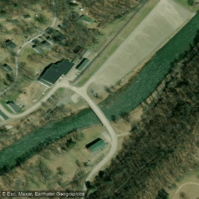
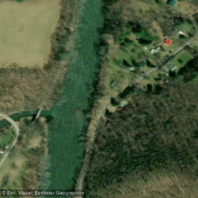
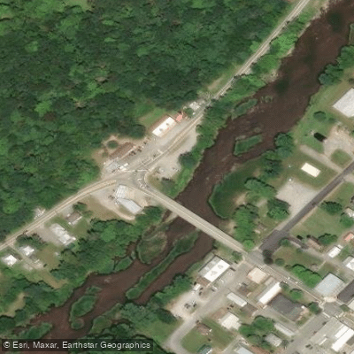
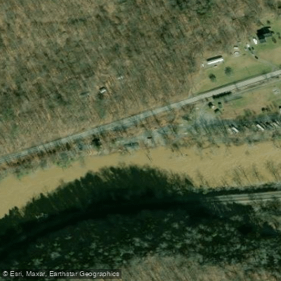
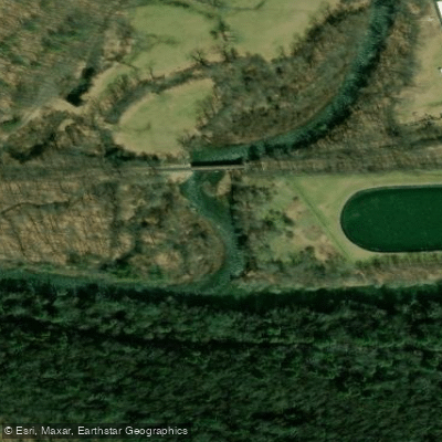
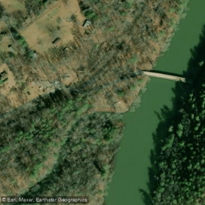
Learn how to get on Greenbrier River. Uncover great paddling access points, boat ramps, and all the facilities you need for an unforgettable day on the water. Some locations shown may border or include private property. Always check property boundaries and applicable regulations before visiting. PaddleWays's Public & Private Land layer can help you plan your access with confidence.
Paddle smarter with real-time insights
Whether you're en route and conditions shift or you're looking for the best spot based on current flows, we enable you to make informed decisions on the fly.








Find Places to Paddle

Over 400,000 Places to Paddle
Every user gets free access to launch points, boat ramps, and public property parcels.


Water and weather conditions (10 day forecast)
See the best times to paddle Greenbrier River and check the forecast before you go.
GREENBRIER RIVER AT ALDERSON, WV
All Flow Stations
Paddling near Greenbrier River
Gauley River
New River
Kanawha River
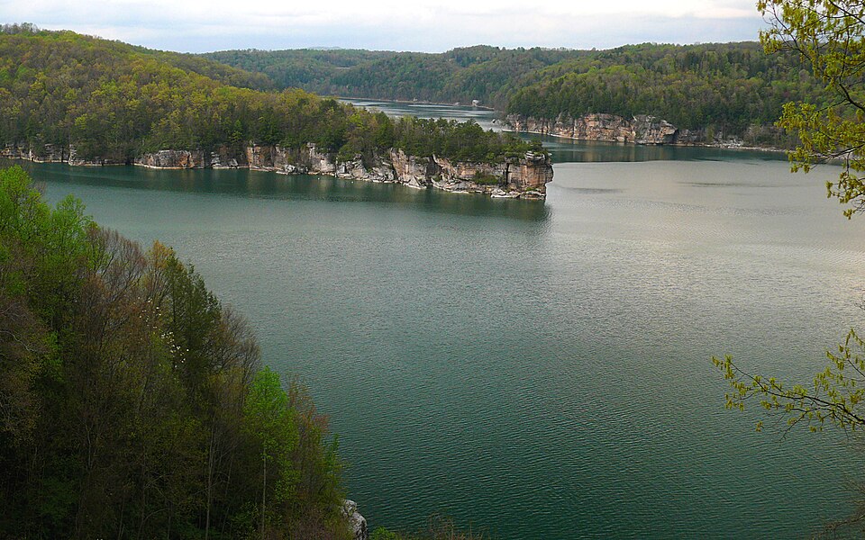
Summersville Lake
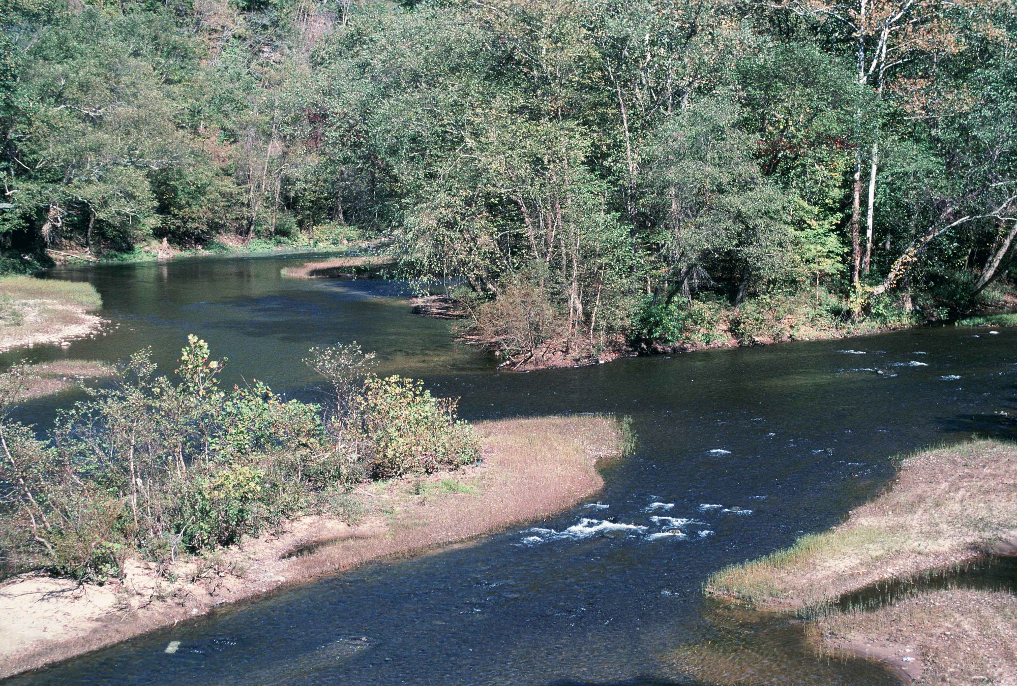
Elk River
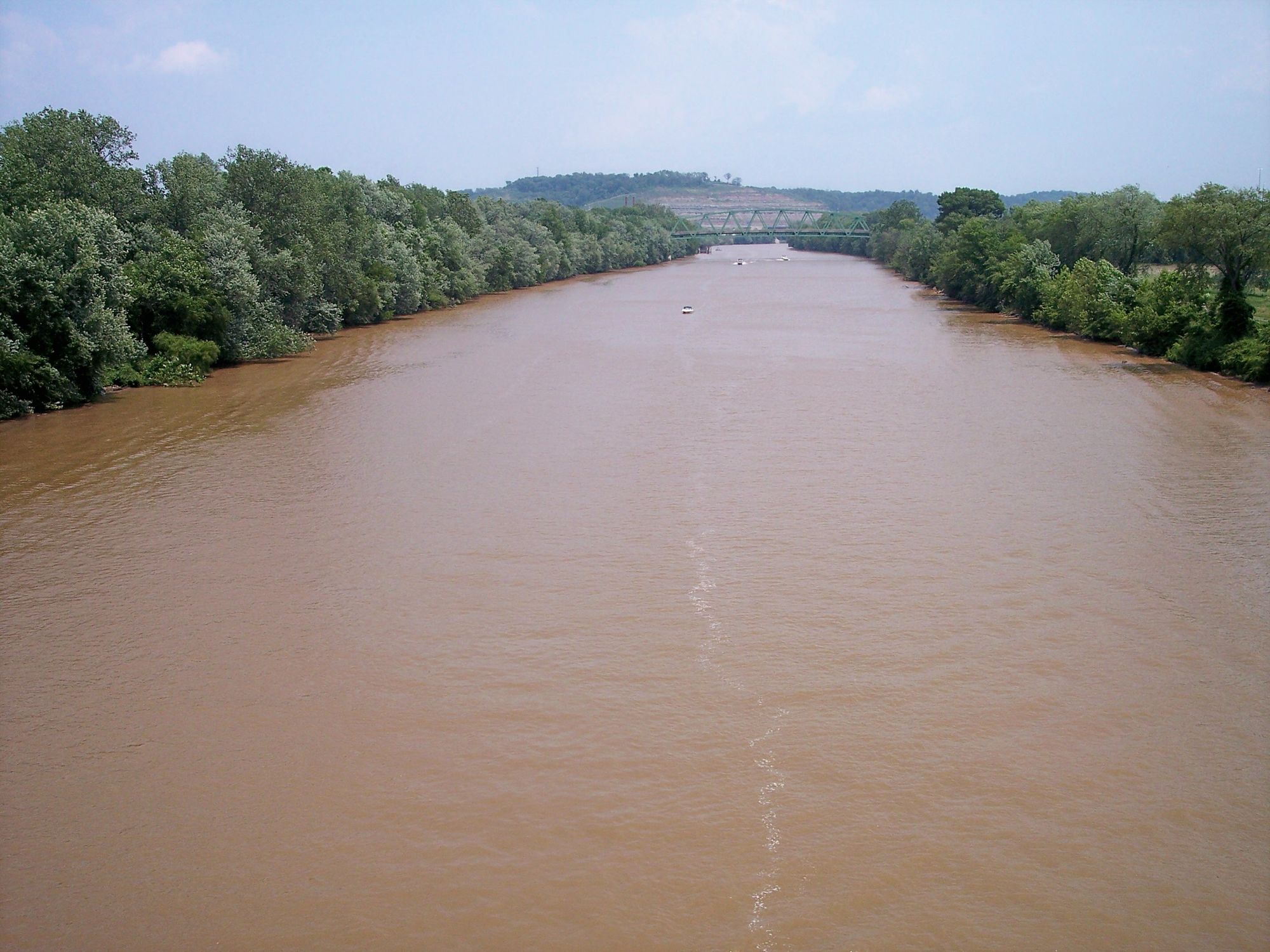
Little Kanawha River
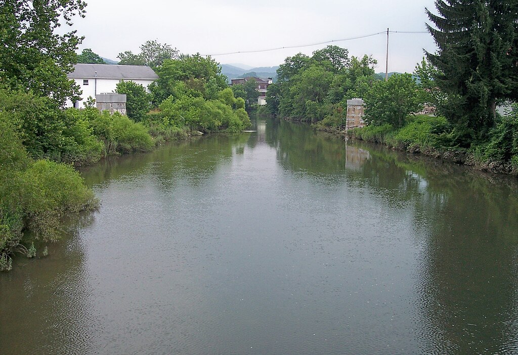
Tygart Valley River
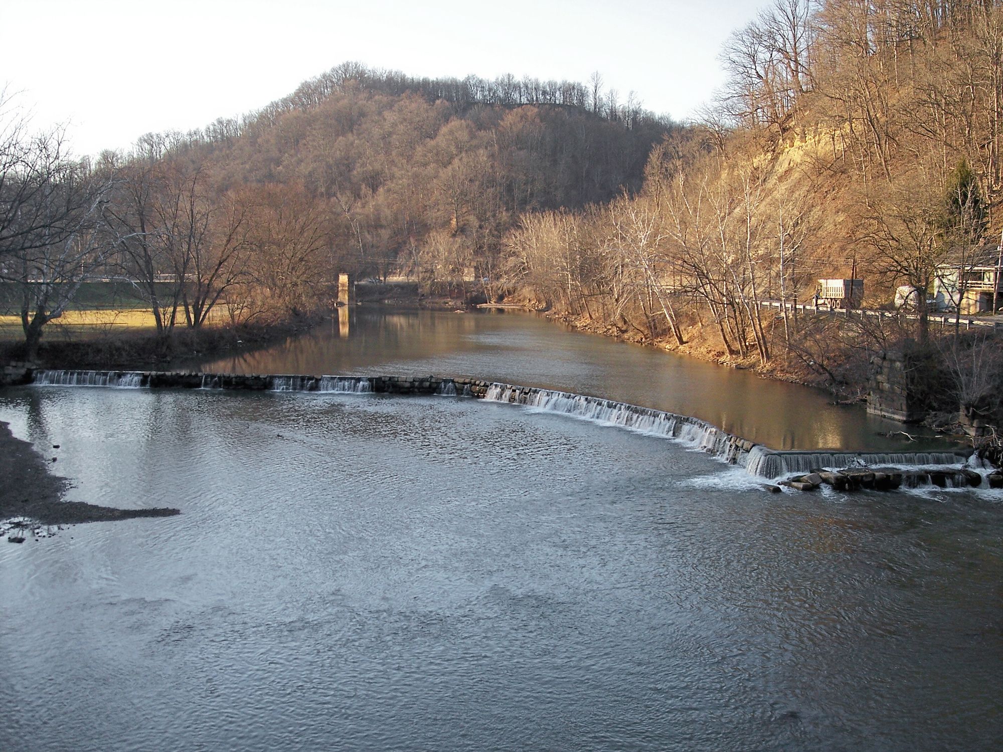
West Fork River
Meadow River
Explore West Virginia waters
Top paddling waters
Popular Cities
Loading popular cities...
Explore near Greenbrier River
Access points
Nearby waters
More in West Virginia

Smarter Paddling Starts in the App.
Paddleways gives you everything you need to plan smarter, paddle better, and own every trip from first launch to takeout.