Kanawha River
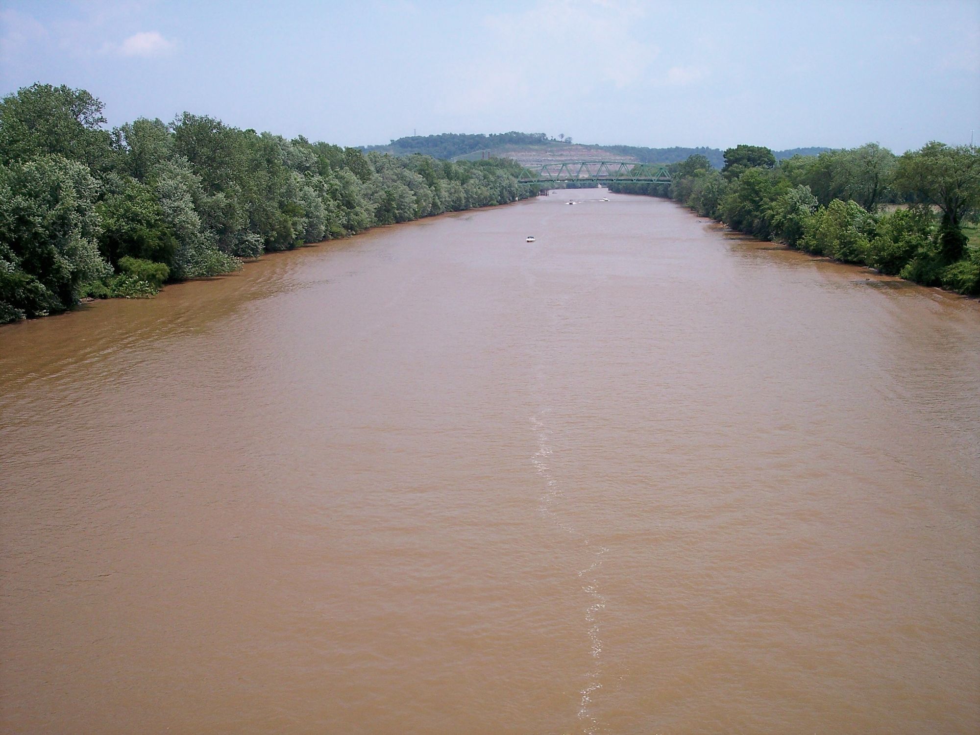
Kanawha River
- Boat Ramps
- 3
- Access Points
- 4
- Campsites
- 2
The Kanawha River is West Virginia's largest inland waterway, flowing for 97 miles from the confluence of the New and Gauley Rivers at Gauley Bridge to its mouth at Point Pleasant, where it joins the Ohio River. This mighty river drains much of southern West Virginia, with major tributaries including the Elk River and Coal River. Paddling opportunities on the Kanawha range from flatwater to challenging whitewater. The upper section near Kanawha Falls offers Class III-IV rapids for experienced paddlers, while the lower stretches provide calm waters suitable for beginners. The river widens considerably as it flows through the state capital of Charleston, offering an urban paddling experience with scenic city views.
The Kanawha's flow is regulated by dams, providing relatively consistent water levels year-round. Spring and fall typically offer the best paddling conditions, with summer bringing warmer water temperatures ideal for swimming. Winter paddling is possible but requires cold water gear. The river valley supports diverse ecosystems, from riverside forests to wetlands. Paddlers may spot bald eagles, herons, and river otters. The banks are lined with sycamore, silver maple, and river birch trees.
Key landmarks include Kanawha Falls, a spectacular 600-foot-wide cascade; the gold-domed State Capitol in Charleston; and historic riverfront towns like Point Pleasant. The river passes through the heart of West Virginia's chemical and coal industries, with occasional glimpses of riverside factories and barges. Popular access points include Kanawha Falls near Glen Ferris, Magic Island in Charleston, and Point Pleasant Riverfront Park. Many communities along the river offer boat ramps and parks.
The Kanawha holds great historical significance as a major transportation route for Native Americans, early settlers, and later industries. It played a crucial role in the state's development and continues to be an important commercial waterway. Paddlers should be aware of commercial barge traffic, especially in the lower sections. Dams and industrial areas require portaging. Life jackets are required by law. For multi-day trips, the entire length can be paddled in 3-5 days, with numerous camping options along the banks and on islands. The 39-mile stretch from Charleston to Point Pleasant makes an excellent overnight journey.
Water access, boat ramps & amenities
Learn how to get on Kanawha River. Uncover great paddling access points, boat ramps, and all the facilities you need for an unforgettable day on the water. Some locations shown may border or include private property. Always check property boundaries and applicable regulations before visiting. PaddleWays's Public & Private Land layer can help you plan your access with confidence.
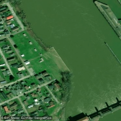
Paddle smarter with real-time insights
Whether you're en route and conditions shift or you're looking for the best spot based on current flows, we enable you to make informed decisions on the fly.








Find Places to Paddle

Over 400,000 Places to Paddle
Every user gets free access to launch points, boat ramps, and public property parcels.


Water and weather conditions (10 day forecast)
See the best times to paddle Kanawha River and check the forecast before you go.
KANAWHA RIVER AT KANAWHA FALLS, WV
All Flow Stations
Paddling near Kanawha River
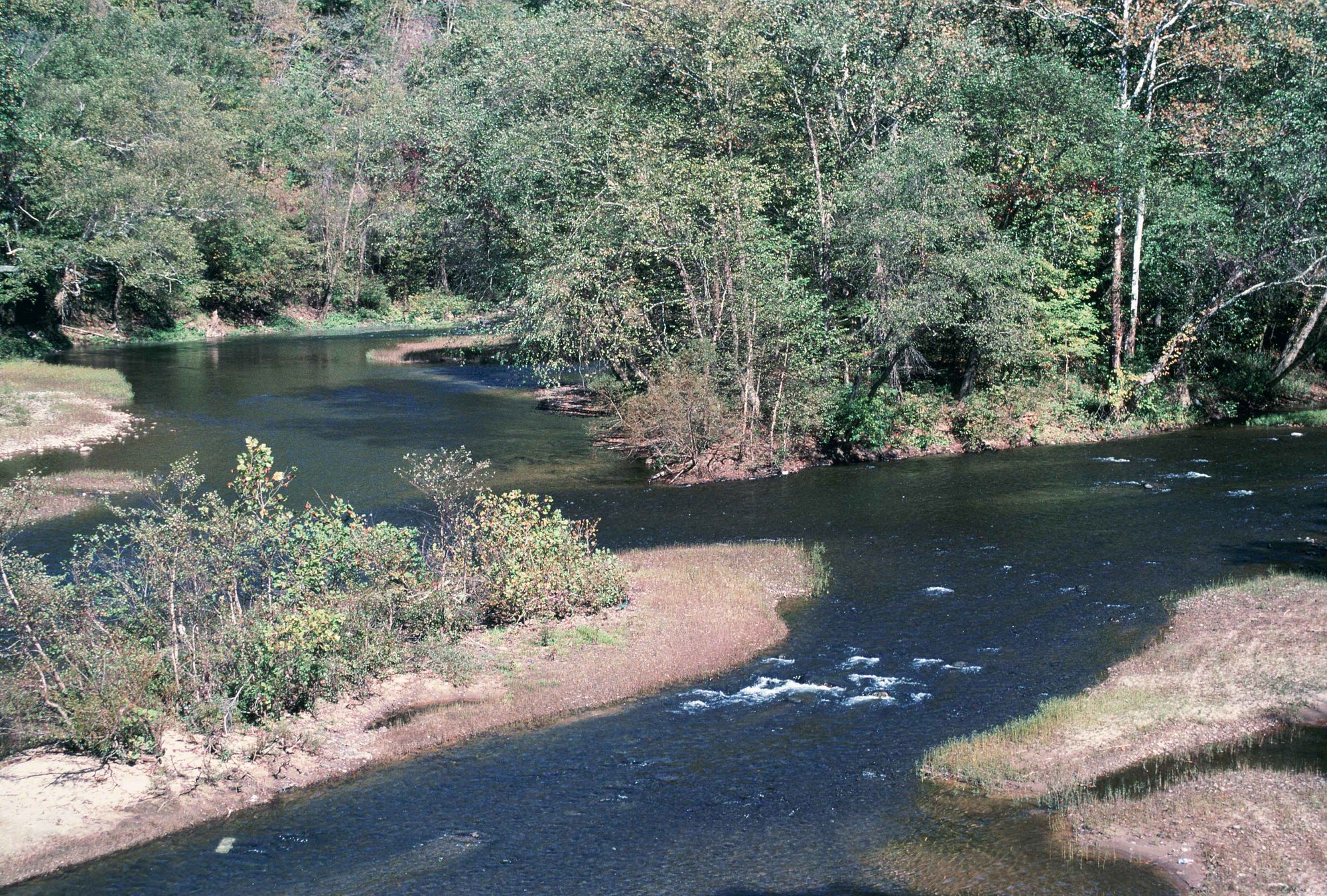
Elk River
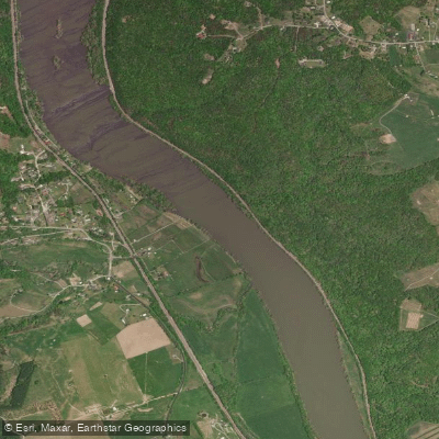
New River

Ohio River
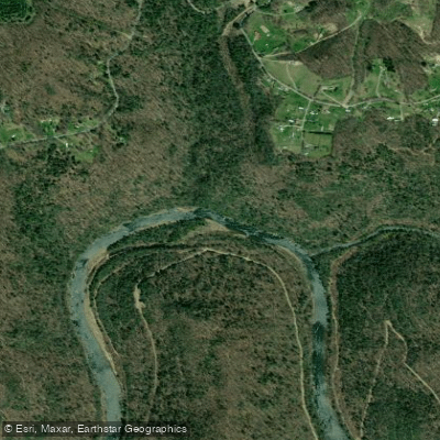
Gauley River
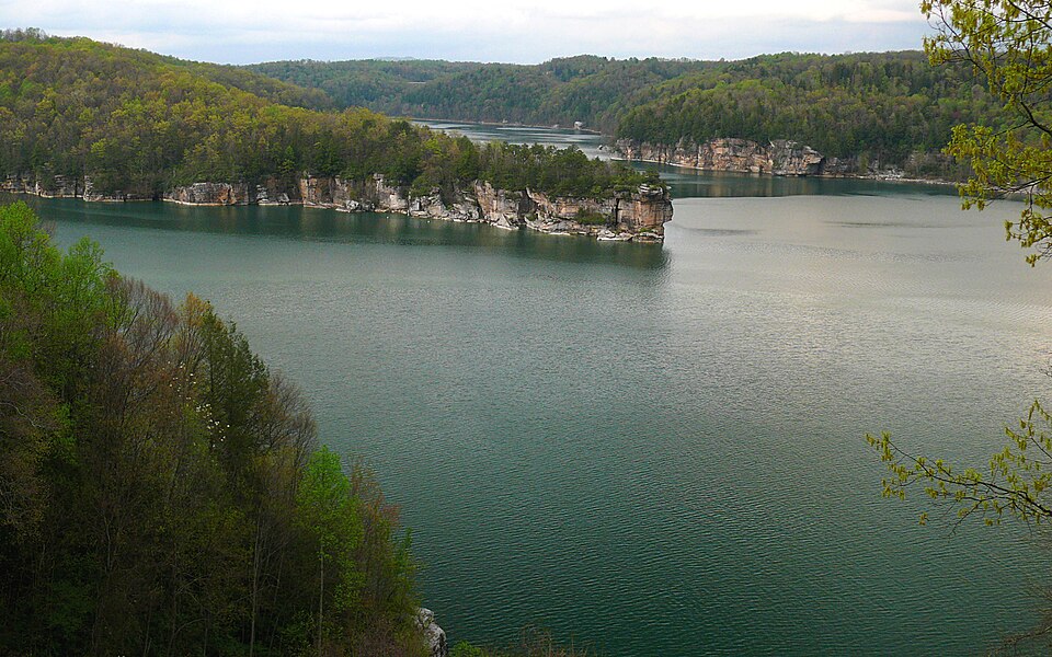
Summersville Lake
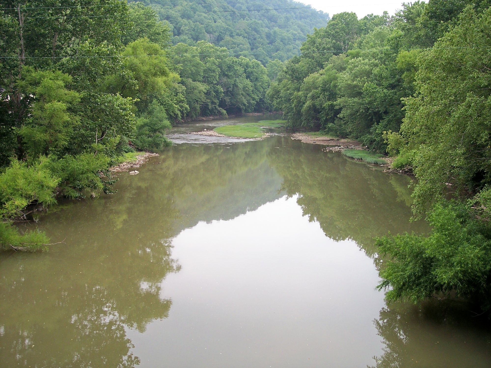
Guyandotte River
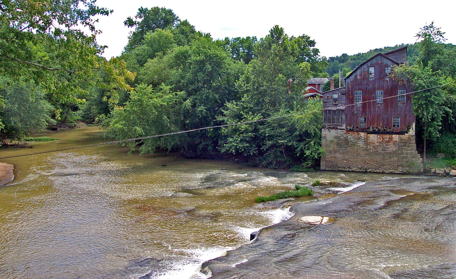
Raccoon Creek
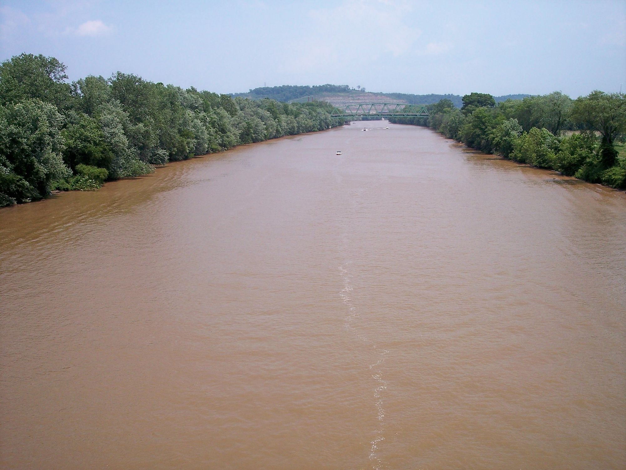
Little Kanawha River
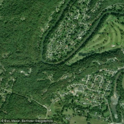
Coal River
Explore West Virginia waters
Top paddling waters
Popular Cities
Loading popular cities...
Explore near Kanawha River
Access points
- South Charleston Boat Ramp
- Verizon Ramp Boat Ramp
- Glasgow Boat Ramp
- USACE Marmet Locks and Dam Tailwater Access
- Gauley River Bridge
- Cathedral Falls Rail Bridge
- Cr 5 Mill Ck Rdandmill Ck Bridge
- Campaign Creek Bridge
- Chicamauga Creek Bridge
- Cr 3 Bulaville Pike Bridge
- Cotton Hill Bridge
- Chickamauga Creek Bridge
- All 22 spots
Nearby waters
More in West Virginia

Smarter Paddling Starts in the App.
Paddleways gives you everything you need to plan smarter, paddle better, and own every trip from first launch to takeout.