Bloukrans
Bloukrans
- Boat Ramps
- 0
- Access Points
- 0
- Campsites
- 0
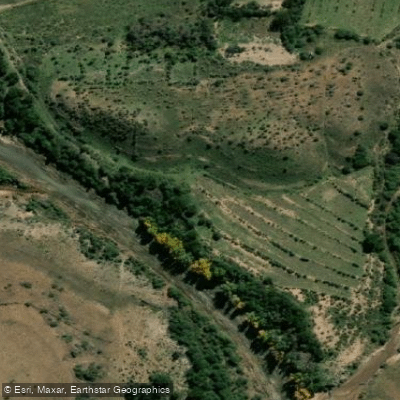
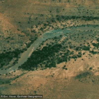
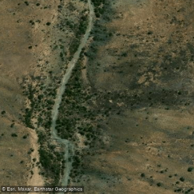
The Bloukrans River flows through a deep kloof in the Tsitsikamma region of South Africa's Garden Route, located along the old R102 road accessible via the Bloukrans Pass. The river is perhaps best known to paddlers and floaters as a kloofing destination, characterized by deep pools, rocky shores, sandy banks, and dense riverine foliage. The water has been described as surprisingly warm for a shaded gorge environment. The riverbed and banks feature slippery rocks throughout, making sturdy footwear essential for anyone navigating the river on foot between pools.
Access to the river float section begins at the old bridge in the Bloukrans Pass. Participants typically meet at the De Vasselot campsite in Nature's Valley before driving up the Groot River and down the Bloukrans Pass to the put-in. There is no official route along the river, allowing travelers to choose either bank or the middle of the river, or any combination. The trip ends at the ocean.
Practical considerations include protecting electronics carefully, as water exposure is essentially unavoidable. Wetsuits are worn by some participants while others manage with shorts and a T-shirt. Dry bags or waterproof containers are strongly recommended for valuables. A walking stick is useful given the slippery rock surfaces throughout the gorge.
The Bloukrans River mouth also features as the major river crossing on day four of the Otter Trail, where tidal conditions dictate timing. The crossing at the river mouth involves slippery rocks and can be deep, and is planned around low tide. Spring tides and incoming tides significantly complicate this crossing, and SANParks provides an alternative escape route via the Bloukrans Bridge approximately 2 kilometres upstream for those unable to cross at the mouth.
Water access, boat ramps & amenities
Learn how to get on Bloukrans. Uncover great paddling access points, boat ramps, and all the facilities you need for an unforgettable day on the water. Some locations shown may border or include private property. Always check property boundaries and applicable regulations before visiting. PaddleWays's Public & Private Land layer can help you plan your access with confidence.
Paddle smarter with real-time insights
Whether you're en route and conditions shift or you're looking for the best spot based on current flows, we enable you to make informed decisions on the fly.







Eastern Cape licenses and regulations

Find Places to Paddle

Over 400,000 Places to Paddle
Every user gets free access to launch points, boat ramps, and public property parcels.


Water and weather conditions (10 day forecast)
See the best times to paddle Bloukrans and check the forecast before you go.
No forecast data available.
Paddling near Bloukrans
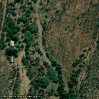
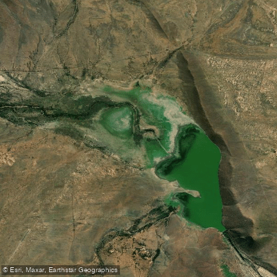
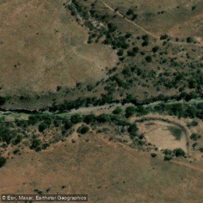
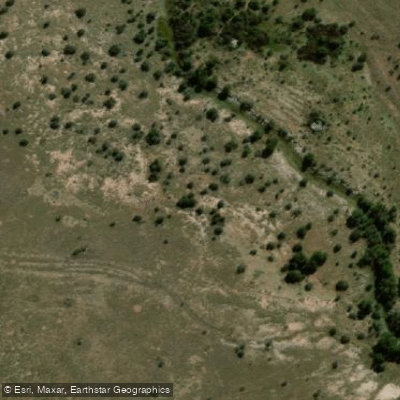
Explore Eastern Cape waters
Top paddling waters
No waters available right now.
Popular Cities
Loading popular cities...
Explore near Bloukrans
More in Eastern Cape

Smarter Paddling Starts in the App.
Paddleways gives you everything you need to plan smarter, paddle better, and own every trip from first launch to takeout.