Kraai
Kraai
- Boat Ramps
- 0
- Access Points
- 0
- Campsites
- 0
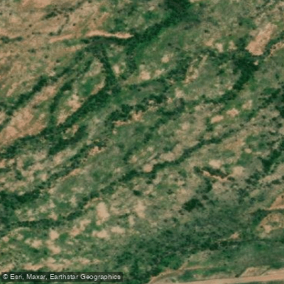
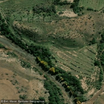
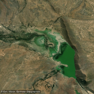
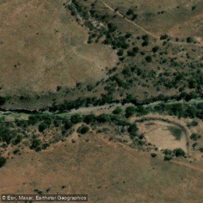
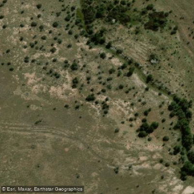
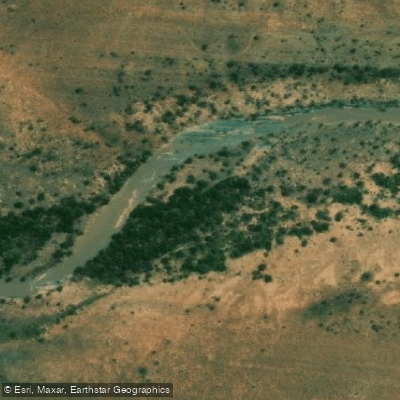
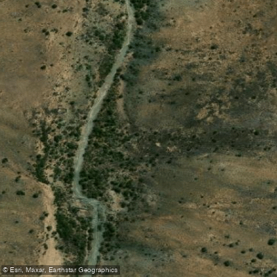
The Kraai River flows through the Eastern Cape Highlands of South Africa, draining the upland grasslands near the Drakensberg Mountains before its waters eventually reach the Atlantic Ocean. The river cuts through a dramatic gorge flanked by cliffs of sandstone — specifically the pale-coloured slabs of the Clarens Formation, deposited under ancient desert conditions — as well as Drakensberg basalt, remnants of volcanic eruptions some 182 million years ago. The surrounding landscape includes indigenous Afromontane grassland, rolling farmland, and indigenous forest, with the river running clean and clear through this remote terrain.
Access points along the Kraai are extremely limited due to the gorge topography, which means paddlers must commit to full-day or multi-day trips once on the water. A common put-in is near Kelvin Grove farm on the road between Barkly East and the surrounding area, with the river also accessible in the vicinity of the R58 between Barkly East and Lady Grey, where the Kraai River Pass crosses the river. One documented drift covers approximately 12 km in a single day, finishing at a property called Wildside. Longer expeditions of around 50 km have been paddled over two and a half days. A multi-day sleep-over option exists, with a natural sleeping cave — locally known as Christmas Cave — used as an overnight stop.
At lower water levels, paddlers should expect occasional log jams requiring portages, though these are manageable; two people can carry two loaded inflatable kayaks without difficulty. Higher flows speed up the drift considerably and reduce the need for portaging. Headwinds funnelled through the gorge can require additional paddling effort. A reasonable level of physical fitness and sure-footedness is advisable, and paddlers should carry a raincoat and warm layer given the high-altitude environment. Dry storage is available on guided craft.
The river is used for both kayaking and fly fishing, with guided drift operations running seasonally. Operators have noted that heavy rainfall can cause the river to flood and blow out visibility, making timing important. The gorge's remoteness means that for much of the route, the river environment — sandstone cliffs, birdlife, and open grassland — is the primary feature, with very little human infrastructure visible along the way.
Water access, boat ramps & amenities
Learn how to get on Kraai. Uncover great paddling access points, boat ramps, and all the facilities you need for an unforgettable day on the water. Some locations shown may border or include private property. Always check property boundaries and applicable regulations before visiting. PaddleWays's Public & Private Land layer can help you plan your access with confidence.
Paddle smarter with real-time insights
Whether you're en route and conditions shift or you're looking for the best spot based on current flows, we enable you to make informed decisions on the fly.







Eastern Cape licenses and regulations

Find Places to Paddle

Over 400,000 Places to Paddle
Every user gets free access to launch points, boat ramps, and public property parcels.


Water and weather conditions (10 day forecast)
See the best times to paddle Kraai and check the forecast before you go.
No forecast data available.
Paddling near Kraai
Explore Eastern Cape waters
Top paddling waters
No waters available right now.
Popular Cities
Loading popular cities...
Explore near Kraai
Access points
More in Eastern Cape

Smarter Paddling Starts in the App.
Paddleways gives you everything you need to plan smarter, paddle better, and own every trip from first launch to takeout.