Sondags
Sondags
- Boat Ramps
- 0
- Access Points
- 0
- Campsites
- 0
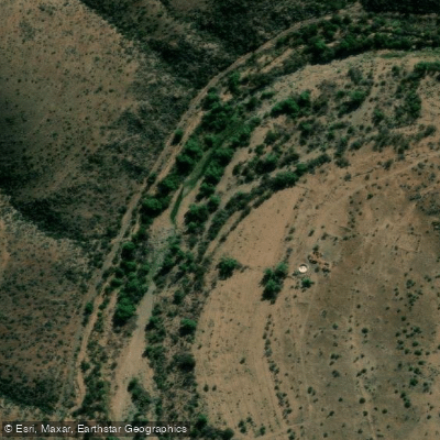
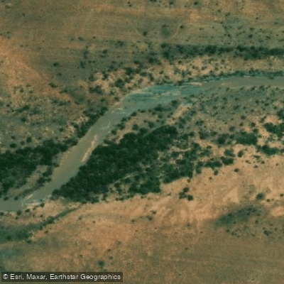
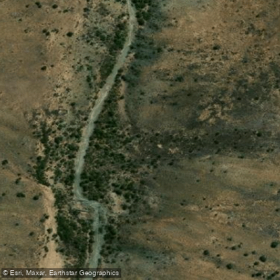
The Sundays River (Sondagsrivier) is a 250-kilometre waterway that originates in the Compassberg Mountains near Nieu-Bethesda and flows in a generally south-easterly direction through the Karoo, passing Graaff-Reinet before winding through the Zuurberg Mountains and the fertile Sundays River Valley past Kirkwood and Addo. It ultimately empties into the Indian Ocean at Algoa Bay, passing through the small village of Colchester in the Eastern Cape.
The primary access point for paddlers is the Cannonville Slipway at the Sundays River Mouth, near Colchester. From here, paddlers can travel by canoe toward the river mouth, where the Alexandria Dune Field is accessible on foot after mooring. This route places paddlers at the intersection of river, ocean, and dune environments within a relatively compact trip. Canoe rentals are available through Sundays River Adventures, based in Colchester. Pricing is available on request, and accommodation hosts in the area can assist with connecting visitors to local operators.
The stretch near the river mouth is the most commonly paddled section, offering a route that transitions from river to coastal scenery. The Alexandria Dune Field, reachable from the river mouth, is a notable natural feature in the area. The surrounding landscape includes the Greater Addo region, which is part of a broader conservation area in the Eastern Cape.
Sundays River Adventures is among the top kayaking and canoeing operators in the Eastern Cape, reflecting an established local paddling infrastructure. The Colchester area is lightly visited, meaning paddlers are unlikely to encounter heavy boat traffic on the river.
Seasonal water temperature patterns, formal restrictions on paddling, and detailed water quality data for this river are not documented here. Paddlers planning a trip should contact local operators directly for current conditions and any logistical requirements specific to the river mouth area.
Water access, boat ramps & amenities
Learn how to get on Sondags. Uncover great paddling access points, boat ramps, and all the facilities you need for an unforgettable day on the water. Some locations shown may border or include private property. Always check property boundaries and applicable regulations before visiting. PaddleWays's Public & Private Land layer can help you plan your access with confidence.
Paddle smarter with real-time insights
Whether you're en route and conditions shift or you're looking for the best spot based on current flows, we enable you to make informed decisions on the fly.







Eastern Cape licenses and regulations

Find Places to Paddle

Over 400,000 Places to Paddle
Every user gets free access to launch points, boat ramps, and public property parcels.


Water and weather conditions (10 day forecast)
See the best times to paddle Sondags and check the forecast before you go.
No forecast data available.
Paddling near Sondags
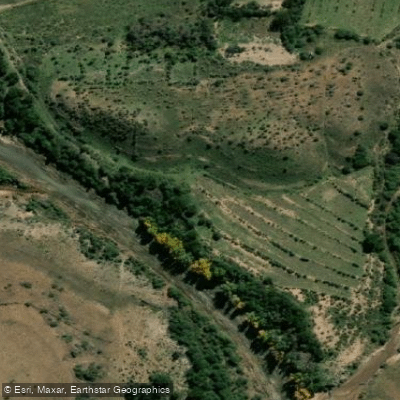
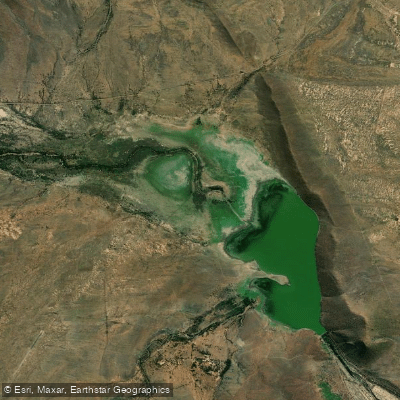
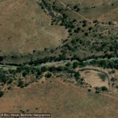
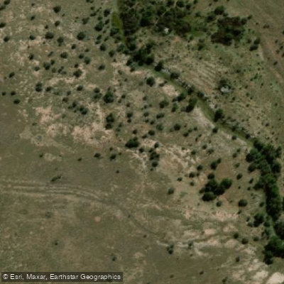
Explore Eastern Cape waters
Top paddling waters
No waters available right now.
Popular Cities
Loading popular cities...
Explore near Sondags
More in Eastern Cape

Smarter Paddling Starts in the App.
Paddleways gives you everything you need to plan smarter, paddle better, and own every trip from first launch to takeout.