Gqunube
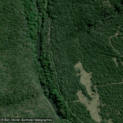
Gqunube
- Boat Ramps
- 0
- Access Points
- 0
- Campsites
- 2
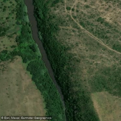
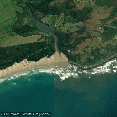
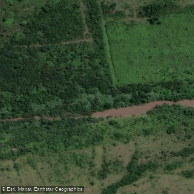
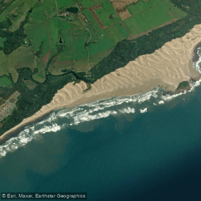
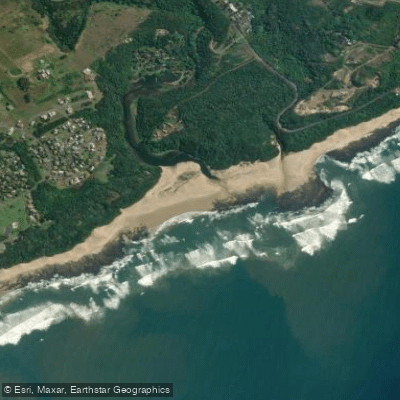
The Gqunube River is a 74km waterway in the Eastern Cape of South Africa, flowing through the Lomardy Private Nature Reserve and emptying via the Gonubie Estuary to the Gonubie River Mouth, near the beachside town of Gonubie approximately 18km from East London.
The upper paddling section is widely regarded as among the best whitewater runs in the Eastern Cape. It covers approximately 10km and is graded 3 to 4, rising to grade 5 at higher water levels, making it strictly suitable for experienced paddlers. The run is continuous in character, with numerous technical rapids that demand scouting from the bank. The pace is fast throughout, and the river rewards those willing to play, with quality wave features appearing at most levels. Both the put-in and take-out are at bridges.
The most significant hazard on the run is a 12-metre waterfall located near the end of the section. Paddlers must take out on river left and portage around it. Below the waterfall, strainers become frequent through to the take-out and require constant vigilance. A few strainers also appear earlier in the run but are described as easily avoided. There are no weirs on this section.
The river is entirely rain-dependent with no dam control, meaning flows are unpredictable and can change quickly. During most summers, the river is paddleable for a few days each month. Paddlers should monitor rainfall closely before committing to a trip, as conditions can vary significantly.
The lower reach of the Gqunube has a very different character — flat water used regularly by K1 and surf ski paddlers for training. The river mouth area near Gonubie Beach includes picnic areas and is a popular recreational destination. River cruises of approximately two hours are also available in the lower estuary section, which may affect boat traffic planning for those paddling the lower reaches.
No permits are required to paddle the Gqunube. The river passes through natural reserve land, and the estuary and beach areas near the mouth provide accessible amenities for those finishing a trip in the lower section.
Water access, boat ramps & amenities
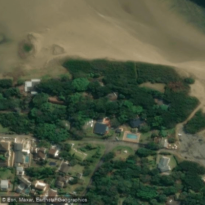
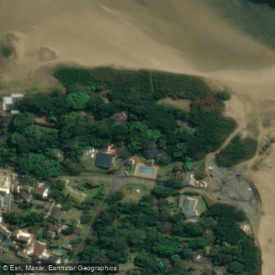
Learn how to get on Gqunube. Uncover great paddling access points, boat ramps, and all the facilities you need for an unforgettable day on the water. Some locations shown may border or include private property. Always check property boundaries and applicable regulations before visiting. PaddleWays's Public & Private Land layer can help you plan your access with confidence.
Paddle smarter with real-time insights
Whether you're en route and conditions shift or you're looking for the best spot based on current flows, we enable you to make informed decisions on the fly.







Eastern Cape licenses and regulations

Find Places to Paddle

Over 400,000 Places to Paddle
Every user gets free access to launch points, boat ramps, and public property parcels.


Water and weather conditions (10 day forecast)
See the best times to paddle Gqunube and check the forecast before you go.
No forecast data available.
Paddling near Gqunube
Explore Eastern Cape waters
Top paddling waters
No waters available right now.
Popular Cities
Loading popular cities...
Explore near Gqunube
Access points
More in Eastern Cape

Smarter Paddling Starts in the App.
Paddleways gives you everything you need to plan smarter, paddle better, and own every trip from first launch to takeout.