Nahoon
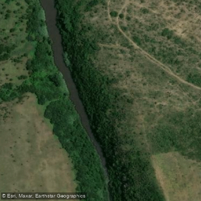
Nahoon
- Boat Ramps
- 0
- Access Points
- 0
- Campsites
- 0
The Nahoon River flows through East London in the Eastern Cape province of South Africa, offering paddlers two quite different experiences depending on where they choose to paddle. The upper river section is a whitewater run graded 2 to 4, covering approximately 12 kilometres and typically taking 2 to 3 hours to complete. The character is tight and continuous, making it a worthwhile play section for competent paddlers. The put-in is reached via a dirt road turn-off to Touch Farm, where paddlers enter at a causeway; the take-out is at a tarred road bridge just upstream of the N2 bridge, known as Abbotsford Causeway.
The upper section carries significant hazards that require attention. Two weirs are present and should both be portaged. There are also two causeways on the run: at low to medium water levels these should be portaged, but can be run straight over at sufficiently high levels. The river is scattered with strainers due to the infrequent nature of its flow, which demands vigilance throughout. The section is entirely rain-dependent and only worthwhile to attempt after good rainfall, despite being partially dam-controlled by Nahoon Dam. There are a couple of playholes that add appeal for paddlers looking for a play session.
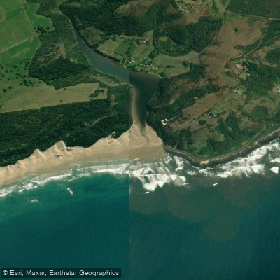
The lower estuary and tidal reach of the Nahoon presents a completely different paddling environment. This stretch is a popular recreational area for East London residents, with riverside hotels, homes, restaurants, and gift shops lining the banks. On any given day paddlers can expect to share the water with boats, canoes, jet skis, and houseboats. The Border Canoe Club is situated along the banks of the Nahoon River and serves as an organisational hub for local paddling events. The club hosts a Summer Series of eight races at Orient Beach and a Winter Series, both run as singles and doubles formats. The Pete Marlin race, generally a 22-kilometre course, finishes at Nahoon or Orient Beach.
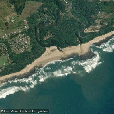
The estuary is also notable for hosting the southernmost mangrove plantations in Africa, accessible via the Dassie Trail boardwalk. The Nahoon Point Nature Reserve at the river mouth adds ecological interest, encompassing coastal sandstone, sandy beaches, coastal forest, and rocky shores along the Indian Ocean.
Water access, boat ramps & amenities
Learn how to get on Nahoon. Uncover great paddling access points, boat ramps, and all the facilities you need for an unforgettable day on the water. Some locations shown may border or include private property. Always check property boundaries and applicable regulations before visiting. PaddleWays's Public & Private Land layer can help you plan your access with confidence.
Paddle smarter with real-time insights
Whether you're en route and conditions shift or you're looking for the best spot based on current flows, we enable you to make informed decisions on the fly.







Eastern Cape licenses and regulations

Find Places to Paddle

Over 400,000 Places to Paddle
Every user gets free access to launch points, boat ramps, and public property parcels.


Water and weather conditions (10 day forecast)
See the best times to paddle Nahoon and check the forecast before you go.
Nahoon River @ Farm 305
All Flow Stations
Paddling near Nahoon
Explore Eastern Cape waters
Top paddling waters
No waters available right now.
Popular Cities
Loading popular cities...

Smarter Paddling Starts in the App.
Paddleways gives you everything you need to plan smarter, paddle better, and own every trip from first launch to takeout.