Vaal
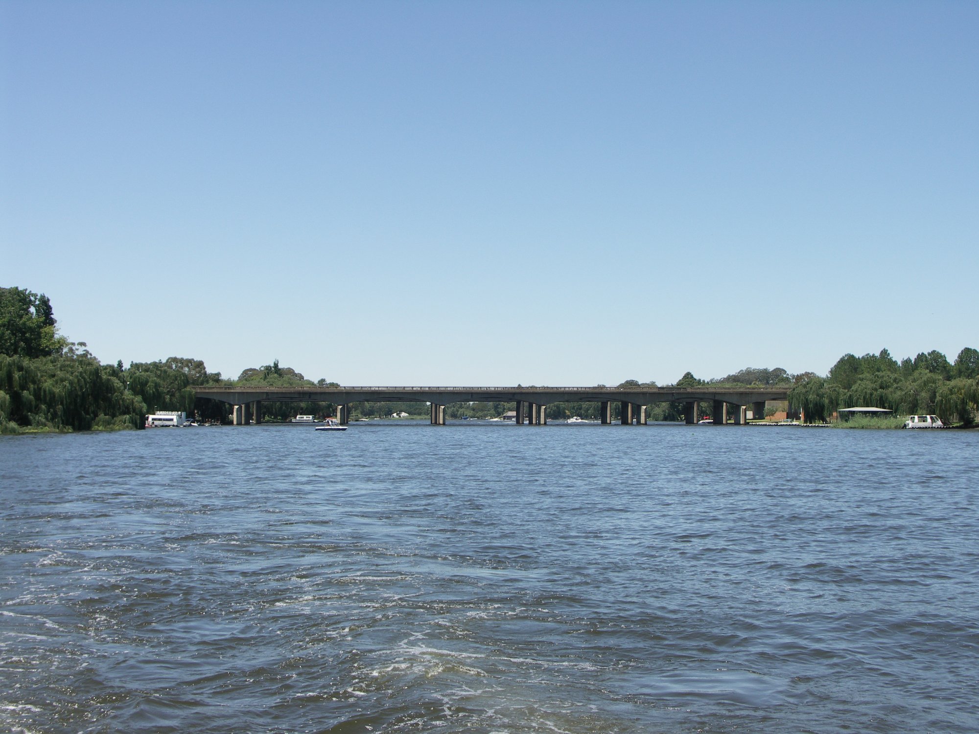
Vaal
- Boat Ramps
- 0
- Access Points
- 5
- Campsites
- 3
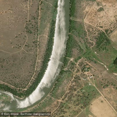
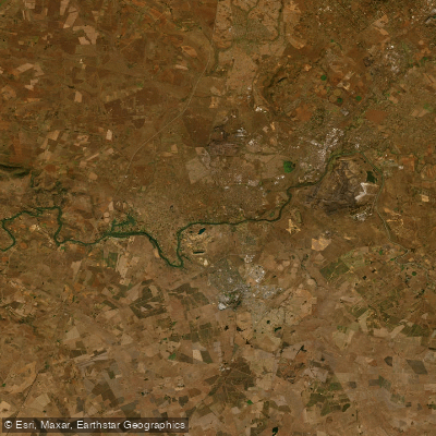
The Vaal River is the second largest river in South Africa, after the Orange River. It flows through the country's interior and is well established as a paddling destination, particularly in the stretch near Parys in the Free State/North West region.
The river near Parys is a popular starting point for kayakers, with routes heading downstream toward various take-out spots. One documented multi-day route covers approximately 115 km, with paddlers camping on remote islands along the way. Shorter day trips are also common in this area. Further east, a kayak route runs from the Suikerbosrand River confluence down to the Vaal, described as a peaceful downstream paddle with one or two small rapids — suitable for less experienced paddlers. In the Gauteng area, launch and take-out points include locations such as Gatsien, Stonehenge, and Rocky Ridge, with put-ins accessible from the Walkerville Wetlands area.
The river's character in the Parys region is generally calm and well-suited to recreational kayaking and kayak fishing. The landscape includes remote islands and open stretches of water. The Vaal Dam, located upstream, is another paddling area, with the Peninsula section offering waterfront access for launching.
Infrastructure for paddlers exists at several points along the river. The Emerald River Resort provides boat storage facilities and launch services. Various riverside accommodations offer direct river access for kayaking and canoeing, including lodges with braai facilities and river frontage.
Wildlife is present along the river corridor, and the area around the Vaal Dam includes game farms with species such as zebra visible from the water's edge. The river supports fishing, with yellowfish among the species targeted by kayak anglers.
The Vaal is used year-round for recreational paddling, though specific seasonal water level or temperature data is not well documented. Water quality has not been rated as a concern in paddling-specific accounts, though paddlers should verify current conditions locally before setting out, as the river passes through an industrialized and agricultural region.
Water access, boat ramps & amenities
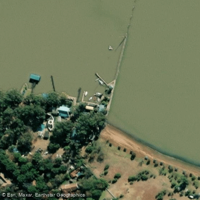
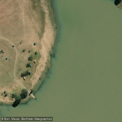
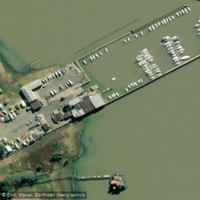
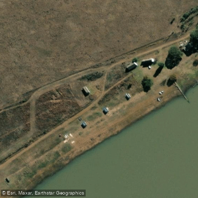
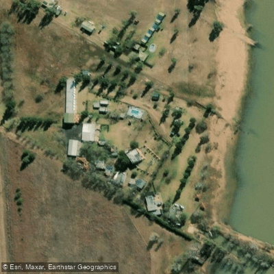
Learn how to get on Vaal. Uncover great paddling access points, boat ramps, and all the facilities you need for an unforgettable day on the water. Some locations shown may border or include private property. Always check property boundaries and applicable regulations before visiting. PaddleWays's Public & Private Land layer can help you plan your access with confidence.
Paddle smarter with real-time insights
Whether you're en route and conditions shift or you're looking for the best spot based on current flows, we enable you to make informed decisions on the fly.








Find Places to Paddle

Over 400,000 Places to Paddle
Every user gets free access to launch points, boat ramps, and public property parcels.


Water and weather conditions (10 day forecast)
See the best times to paddle Vaal and check the forecast before you go.
No forecast data available.
Paddling near Vaal
Explore Free State waters
Top paddling waters
No waters available right now.
Popular Cities
Loading popular cities...
Explore near Vaal
Access points
More in Free State

Smarter Paddling Starts in the App.
Paddleways gives you everything you need to plan smarter, paddle better, and own every trip from first launch to takeout.