Wilge
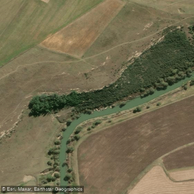
Wilge
- Boat Ramps
- 0
- Access Points
- 0
- Campsites
- 0
The Wilge River offers a notable paddling route from the Verena bridge to just upstream of Loskop Dam, covering approximately 28 kilometres and typically taking five to seven hours to complete, though a two-day trip allows for a more thorough experience of the terrain. The section is graded 2 to 4 and is best suited to kayakers. The put-in is at the Verena bridge, and the take-out is located just upstream of Loskop Dam near the area known as Kanongat, where Roan Lodge formerly stood.
The trip divides roughly in half: the first portion follows the Wilge, and the second follows the Olifants River after the two rivers converge at approximately the midpoint. The opening kilometres after the put-in are generally flat before the river enters a gorge section with cliffs descending directly to the water. From there to the confluence, the character is class 2 to 3, with continuous easy rapids, multiple channels, and overhanging trees adding technical interest. Once on the Olifants, the gradient increases slightly, with one small waterfall that can be run but requires a precise line. When water levels are up, rapids on the Olifants section become continuous.
Water levels are influenced by releases from Premier Mine Dam on the Wilge section, and also by Witbank Dam and the Olifants section controls. Paddlers should factor this into trip planning, as the route can be completed in a single day only when water levels are sufficient.
The entire stretch is described as highly isolated, with abundant birdlife and prominent cliff scenery alongside lush riparian vegetation. The environment is considered sensitive, and paddlers are advised to minimise disturbance. Hippos are present in Loskop Dam and are known to move upstream into the river periodically, making them a potential hazard on the lower section of the route.
A permit is required for the take-out. Paddlers should contact the Manager of Loskop Dam Game Reserve at (013) 262-4190 to arrange this in advance.
Water access, boat ramps & amenities
Learn how to get on Wilge. Uncover great paddling access points, boat ramps, and all the facilities you need for an unforgettable day on the water. Some locations shown may border or include private property. Always check property boundaries and applicable regulations before visiting. PaddleWays's Public & Private Land layer can help you plan your access with confidence.
Paddle smarter with real-time insights
Whether you're en route and conditions shift or you're looking for the best spot based on current flows, we enable you to make informed decisions on the fly.








Find Places to Paddle

Over 400,000 Places to Paddle
Every user gets free access to launch points, boat ramps, and public property parcels.


Water and weather conditions (10 day forecast)
See the best times to paddle Wilge and check the forecast before you go.
C8H028
All Flow Stations
Paddling near Wilge
Liebenbergsvlei
Caledon
Sol Plaatjie (Saulspoort) Dam
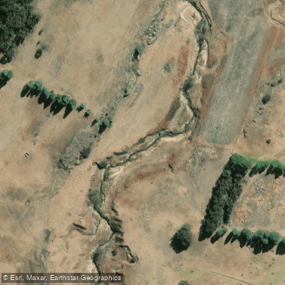
Swartspruit
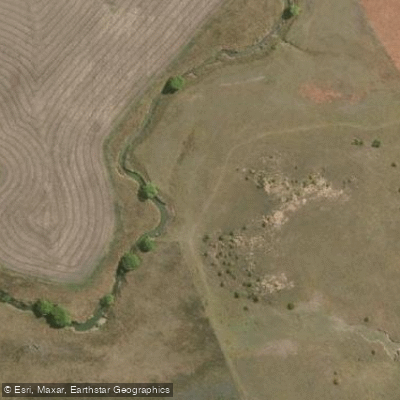
Meulspruit
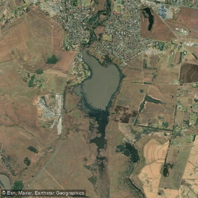
Loch Athlone
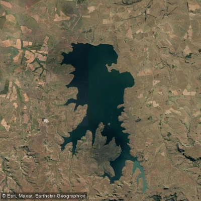
Sterkfontein
Mofogoi
Malibamatso
Explore Free State waters
Top paddling waters
No waters available right now.
Popular Cities
Loading popular cities...
Explore near Wilge
Access points
Nearby waters
More in Free State

Smarter Paddling Starts in the App.
Paddleways gives you everything you need to plan smarter, paddle better, and own every trip from first launch to takeout.