Vaal Barrage
Vaal Barrage
- Boat Ramps
- 2
- Access Points
- 0
- Campsites
- 1
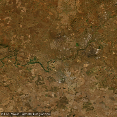
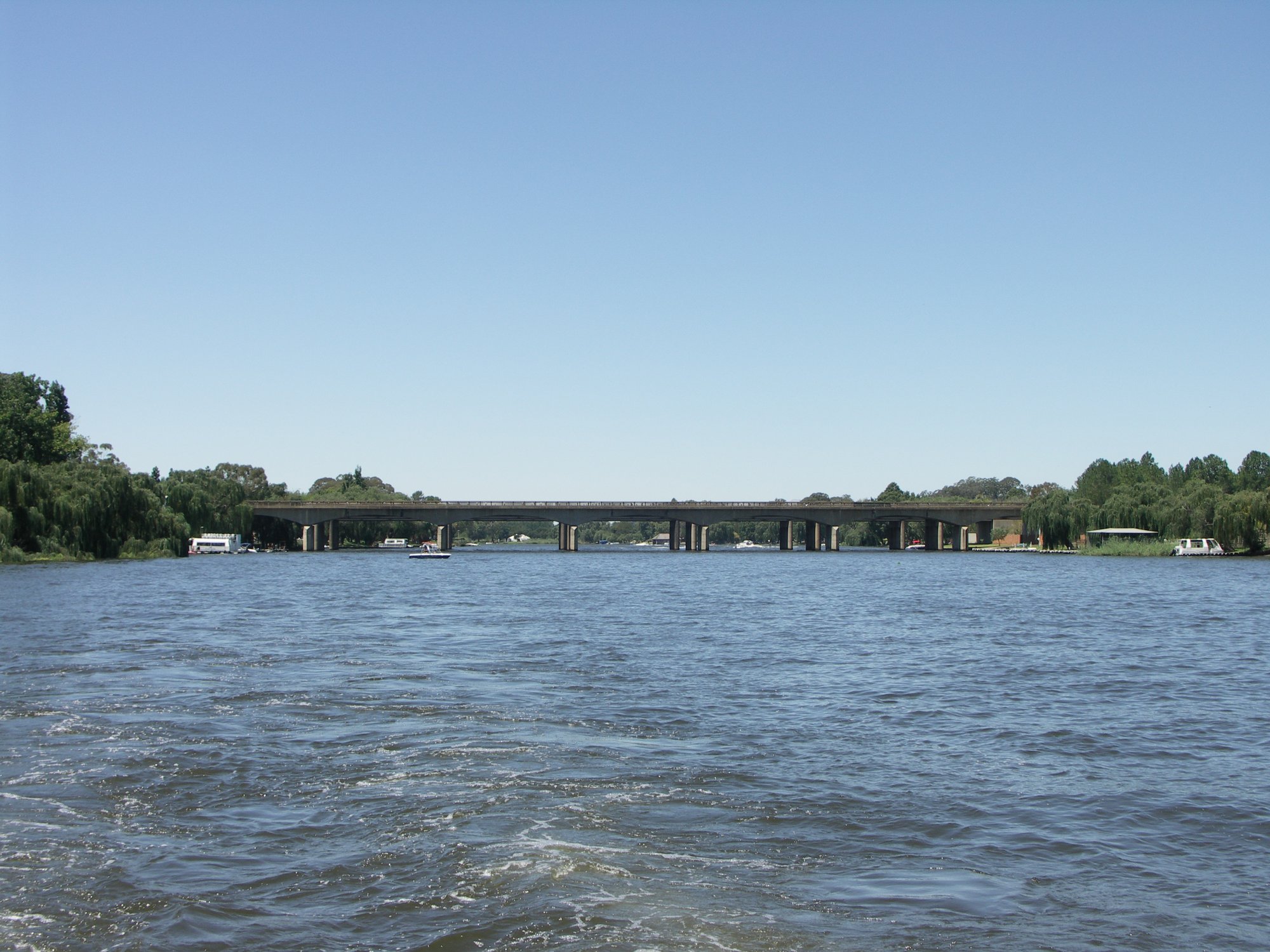
The Vaal Barrage Reservoir sits on the Vaal River near Vanderbijlpark, straddling the border between Gauteng and Free State provinces in South Africa. The reservoir was created in 1923 when Rand Water constructed a barrage — a gated structure 329 metres long and 10 metres high — across the Vaal River. The resulting reservoir stretches approximately 64 kilometres in length, covers a surface area of 16,835 square kilometres, and holds a total storage capacity of around 56.7 million cubic metres, with an average depth of 4.5 metres. These dimensions make it a substantial flatwater paddling environment.
Canoeing, kayaking, and paddleboarding are all permitted on the reservoir, and a designated route known as the Barrage Paddle Route is available for paddlers. The reservoir also sees motorised boat traffic, including water-skiing, which paddlers should be aware of when planning trips.
Water quality is a notable concern. The Vaal Barrage receives inflows from the Suikerbosrand, Klip, and Rietspruit rivers, all of which drain heavily industrialised and densely populated areas including Johannesburg, Vereeniging, and Sasolburg. As a result, water quality has deteriorated over time due to pollution, and the reservoir is no longer used as a drinking water source. Paddlers should factor this into their planning and take appropriate precautions regarding skin and incidental water contact.
The reservoir has also experienced infestations of invasive aquatic weeds, specifically water lettuce and water hyacinth, which at times have significantly impeded navigation. A proactive management programme funded by the Department of Water and Sanitation and implemented by Rand Water has been established to prevent recurrence of large-scale infestations. As of the 2024 boating season opening, the invasive plants had been cleared, allowing for unobstructed paddling. However, paddlers planning future trips should verify current weed conditions, as this has historically been a recurring issue.
The reservoir is managed by Rand Water, and a formal boating season exists on the Vaal River, with seasonal openings organised by the Department of Water and Sanitation. Stonehaven on the Vaal is one known access and gathering point along the reservoir. The surrounding area reflects the industrial character of the region, with the catchment area covering approximately 1,349 hectares.
Water access, boat ramps & amenities
Learn how to get on Vaal Barrage. Uncover great paddling access points, boat ramps, and all the facilities you need for an unforgettable day on the water. Some locations shown may border or include private property. Always check property boundaries and applicable regulations before visiting. PaddleWays's Public & Private Land layer can help you plan your access with confidence.
Paddle smarter with real-time insights
Whether you're en route and conditions shift or you're looking for the best spot based on current flows, we enable you to make informed decisions on the fly.








Find Places to Paddle

Over 400,000 Places to Paddle
Every user gets free access to launch points, boat ramps, and public property parcels.


Water and weather conditions (10 day forecast)
See the best times to paddle Vaal Barrage and check the forecast before you go.
Vaal @ Bankfontein (Lethabo)
Paddling near Vaal Barrage
Explore Gauteng waters
Top paddling waters
No waters available right now.
Popular Cities
Loading popular cities...
Explore near Vaal Barrage
Access points
More in Gauteng

Smarter Paddling Starts in the App.
Paddleways gives you everything you need to plan smarter, paddle better, and own every trip from first launch to takeout.