Spioenkop Dam
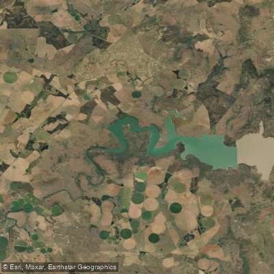
Spioenkop Dam
- Boat Ramps
- 0
- Access Points
- 0
- Campsites
- 0
Spioenkop Dam is an earthfill dam impounding the Tugela River in the uThukela District of KwaZulu-Natal, approximately 30 km southwest of Ladysmith. Commissioned in 1972, the reservoir covers a surface area of roughly 15.3 square kilometres (approximately 1,531 hectares) at full supply level, with a dam wall 53 metres high and a total capacity of around 272,265 megalitres. The site sits at an average elevation of 1,139 metres above sea level amid undulating hills and valleys, with the prominent Spion Kop hill rising to the north of the dam wall.
The dam forms the centrepiece of the 6,000-hectare Spioenkop Nature Reserve, managed by Ezemvelo KZN Wildlife. The reserve supports populations of giraffe, zebra, various antelope, waterbuck, and a range of bird species. The landscape transitions from flat grassland banks toward the inlet end of the reservoir, where rocky hills covered in acacia become more prominent — this upper, river-inlet section of the dam offers more structural variety, with rocky banks and variable depths.
Kayakers accessing the dam have reported following a dirt road from the entrance gate down toward the boat club and camping areas, with the option to launch from a point further along the dam's length to reduce paddling distance to the more interesting upper reaches. A round trip covering the length of the dam and back involves roughly 7 kilometres on the water. The boat club and camping facilities are located along the dam's shoreline. Accommodation options in the area include guest farms that offer their own access points to the dam.
The dam is primarily fished for carp and barbel, with bass more commonly found toward the river-inlet end. Boating and sailing also take place on the reservoir. Wind conditions are frequently light, though significant gusts can occur. The reserve is accessible via the R600 road, which provides viewpoints over the water. The Drakensberg Mountains are visible across the water from parts of the reserve, and the site carries historical significance as the nearby Spion Kop hill was the location of a major Anglo-Boer War battle in January 1900.
Water access, boat ramps & amenities
Learn how to get on Spioenkop Dam. Uncover great paddling access points, boat ramps, and all the facilities you need for an unforgettable day on the water. Some locations shown may border or include private property. Always check property boundaries and applicable regulations before visiting. PaddleWays's Public & Private Land layer can help you plan your access with confidence.
Paddle smarter with real-time insights
Whether you're en route and conditions shift or you're looking for the best spot based on current flows, we enable you to make informed decisions on the fly.







Kwazulu Natal licenses and regulations
No licenses or regulations available for Kwazulu Natal.
Find Places to Paddle

Over 400,000 Places to Paddle
Every user gets free access to launch points, boat ramps, and public property parcels.


Water and weather conditions (10 day forecast)
See the best times to paddle Spioenkop Dam and check the forecast before you go.
No forecast data available.
Paddling near Spioenkop Dam
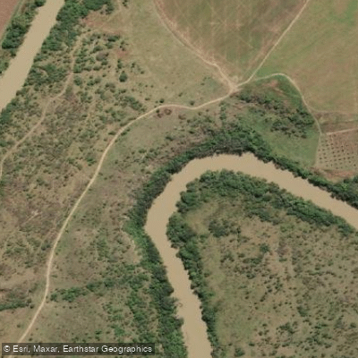
Thukela
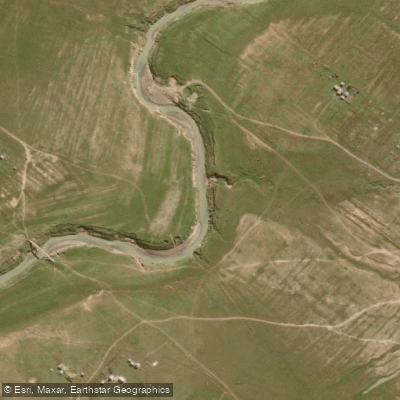
Klip
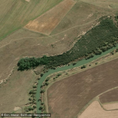
Wilge
Sundays
Manzamnyama
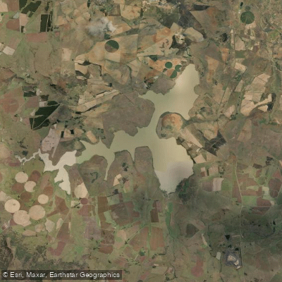
Ntshingwayo Dam
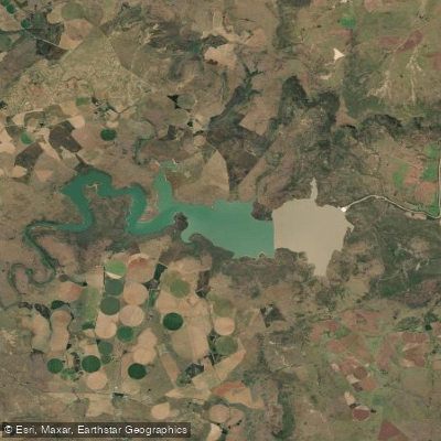
Spioenkop
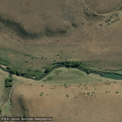
Klip
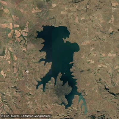
Sterkfontein
Explore Kwazulu Natal waters
Top paddling waters
No waters available right now.
Popular Cities
Loading popular cities...
Explore near Spioenkop Dam
More in Kwazulu Natal

Smarter Paddling Starts in the App.
Paddleways gives you everything you need to plan smarter, paddle better, and own every trip from first launch to takeout.