Sterkfontein
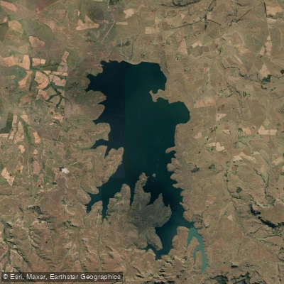
Sterkfontein
- Boat Ramps
- 0
- Access Points
- 0
- Campsites
- 0
Sterkfontein Dam sits approximately 20 km southwest of Harrismith in the eastern Free State, on the road to KwaZulu-Natal via Oliviershoek Pass. The reservoir is substantial, stretching roughly 16 km in length and up to 7 km wide, with a rugged and irregular shoreline set against dramatic mountain scenery with views toward the Drakensberg. The surrounding land forms part of an 18,000-hectare nature reserve administered by the Free State Province, and the dam itself covers approximately 7,000 hectares. It is part of the Tugela-Vaal water transfer system that supplies the greater Gauteng province.
A boat slipway is available at the northern point of the provincial resort, which also offers self-catering chalets, caravan, and camping facilities. Kayak rentals are available within the reserve, making the water accessible to paddlers without their own equipment. The reserve is located roughly three hours from both Johannesburg and Durban, and several accommodation options exist in the area, ranging from upmarket to more rustic establishments.
The most significant safety consideration on Sterkfontein Dam is its weather. The dam is notorious for rapidly developing storms, with high winds and surprisingly large waves that can build in a very short period of time. Paddlers should exercise considerable caution and monitor conditions closely, as the open expanse of water amplifies wind effects. Given the dam's size and rugged shoreline, having a motorized vessel to reach more distant areas is noted as advantageous for those exploring the full extent of the water body.
The surrounding landscape features deep, vegetated hills, and the reserve encompasses varied veld types including Afromontane, Karoo, and savannah, contributing to high biodiversity. The water is described as crystal clear, which is a notable characteristic of the dam. Wildlife and birdlife are present along the shores, and the area is particularly well regarded for yellowfish populations, primarily Orange/Vaal smallmouth, with a smaller population of largemouth also present. The summer months, roughly January through March, appear to be the primary season when guided fishing operations run on the dam, suggesting this period offers favorable water conditions, though the associated high winds and storm risk remain a consistent concern year-round.
Water access, boat ramps & amenities
Learn how to get on Sterkfontein. Uncover great paddling access points, boat ramps, and all the facilities you need for an unforgettable day on the water. Some locations shown may border or include private property. Always check property boundaries and applicable regulations before visiting. PaddleWays's Public & Private Land layer can help you plan your access with confidence.
Paddle smarter with real-time insights
Whether you're en route and conditions shift or you're looking for the best spot based on current flows, we enable you to make informed decisions on the fly.








Find Places to Paddle

Over 400,000 Places to Paddle
Every user gets free access to launch points, boat ramps, and public property parcels.


Water and weather conditions (10 day forecast)
See the best times to paddle Sterkfontein and check the forecast before you go.
C8H036
All Flow Stations
Paddling near Sterkfontein
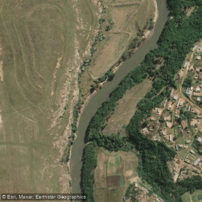
Caledon
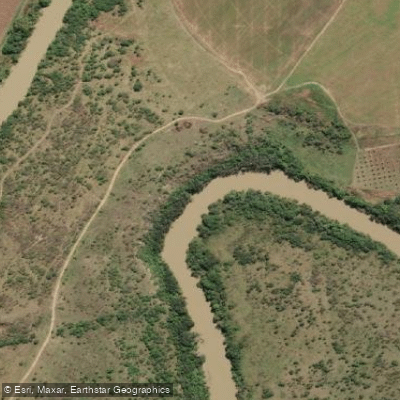
Thukela
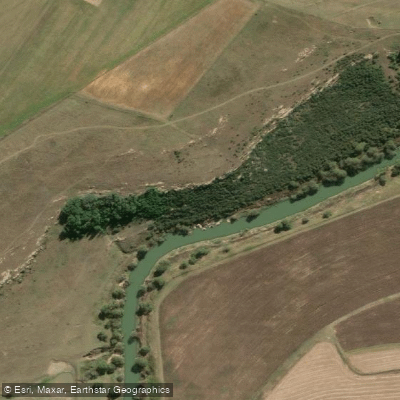
Wilge
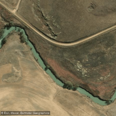
Liebenbergsvlei
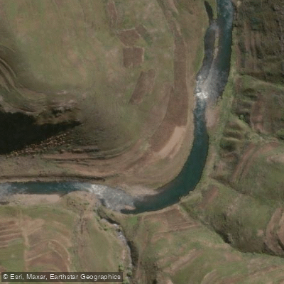
Malibamatso
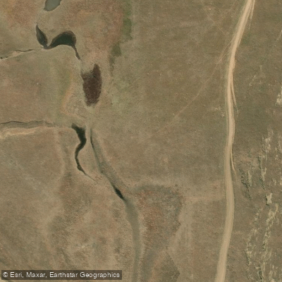
Rietspruit
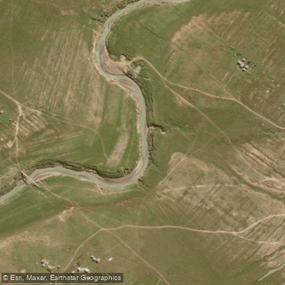
Klip
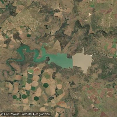
Spioenkop
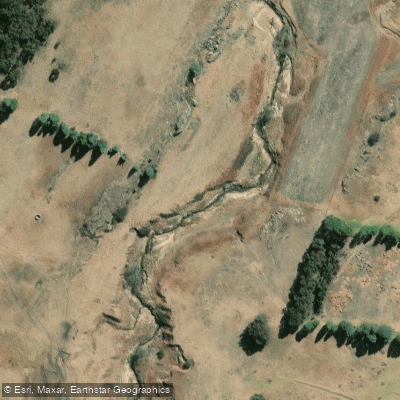
Swartspruit
Explore Free State waters
Top paddling waters
No waters available right now.
Popular Cities
Loading popular cities...
Explore near Sterkfontein
More in Free State

Smarter Paddling Starts in the App.
Paddleways gives you everything you need to plan smarter, paddle better, and own every trip from first launch to takeout.