Vanderkloof Dam
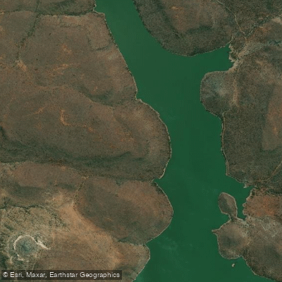
Vanderkloof Dam
- Boat Ramps
- 0
- Access Points
- 0
- Campsites
- 0
Vanderkloof Dam is South Africa's second largest dam, formed on the Orange River and stretching approximately 100 kilometres from below the Gariep Dam. It straddles the Free State and Northern Cape provinces in the Upper Karoo region, near the town of Vanderkloof. The dam holds a capacity of around 3,171 million cubic metres and is also home to one of only two hydroelectric power stations in South Africa.
The primary Vanderkloof Boat Club, which serves as both a launch site and a take-out. Accommodation options near the launch include Stoney Rapids Lodge and Sandgat camping resort, the latter of which also offers chalets. Multi-day trips typically cover around 25 kilometres on the first paddling day, with paddlers reaching a campsite by mid-afternoon. The dam's wide beaches and islands, including Hornet Island and Osplaat, provide camping opportunities along the route. Notable features include Bird Island and an adjacent nature reserve, both accessible by paddle.
The dam is known for a prevailing wind that can create challenging conditions, particularly in the afternoons. Paddlers on multi-day trips should plan accordingly, as this wind can be a significant factor when paddling back toward the dam wall. The dam wall itself is a prominent landmark, visible from several kilometres away with spray rising visibly when overflow occurs.
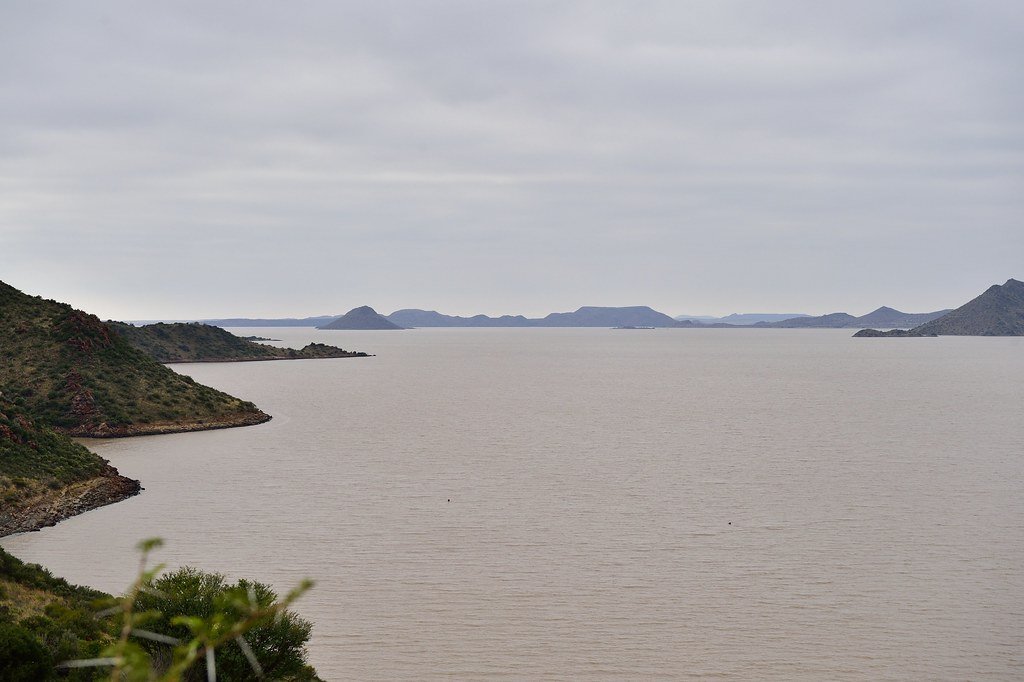
Wildlife along the shores includes fish eagles, various buck species that come to drink at the water's edge, and feral cattle stranded on some of the islands. The water is described as crystal clear and blue. Temperatures can reach 34 degrees Celsius during summer afternoons, which is relevant for hydration and sun exposure planning.
Touring kayaks are the recommended craft for the flat-water paddling on the dam. Adventure Kayaking, operated by Gavin and Lorna Myburg and based in the village of Vanderkloof, offers guided trips ranging from one day to five days, with kayak hire and safety gear included. Groups of between 8 and 18 paddlers are catered for. The dam wall presents a serious hazard, and paddlers should ensure they take out at the boat club well upriver of the wall.
Water access, boat ramps & amenities
Learn how to get on Vanderkloof Dam. Uncover great paddling access points, boat ramps, and all the facilities you need for an unforgettable day on the water. Some locations shown may border or include private property. Always check property boundaries and applicable regulations before visiting. PaddleWays's Public & Private Land layer can help you plan your access with confidence.
Paddle smarter with real-time insights
Whether you're en route and conditions shift or you're looking for the best spot based on current flows, we enable you to make informed decisions on the fly.







Northern Cape licenses and regulations

Find Places to Paddle

Over 400,000 Places to Paddle
Every user gets free access to launch points, boat ramps, and public property parcels.


Water and weather conditions (10 day forecast)
See the best times to paddle Vanderkloof Dam and check the forecast before you go.
No forecast data available.
Explore Northern Cape waters
Top paddling waters
No waters available right now.
Popular Cities
Loading popular cities...
Explore near Vanderkloof Dam
More in Northern Cape

Smarter Paddling Starts in the App.
Paddleways gives you everything you need to plan smarter, paddle better, and own every trip from first launch to takeout.