Vanderkloof
Vanderkloof
- Boat Ramps
- 0
- Access Points
- 1
- Campsites
- 0
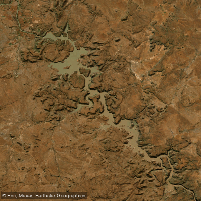
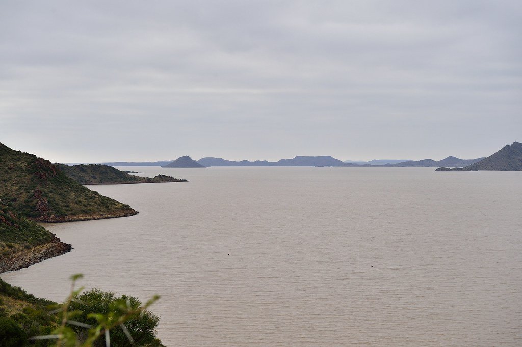
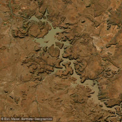
Vanderkloof Dam is the second largest dam in South Africa, formed on the Orange River in the Northern Cape and Free State provinces. The dam wall stands 108 metres high with a crest length of 765 metres, and when full the reservoir extends approximately 100 kilometres in length. Its shape is irregular — narrowing in places to resemble a wide river channel before opening into broader expanses, with the largest open water concentrated in the northerly areas around the Rolfontein Nature Reserve.
The primary access point for paddlers is the Vanderkloof Boat Club, located near the dam wall and the town of Vanderkloof. This serves as both a launch site and a take-out point. Accommodation options in the area include Stoney Rapids Lodge and Sandgat camping resort, the latter of which also offers chalets.
Multi-day paddling trips on the dam typically cover around 25 kilometres per day using touring kayaks, with paddlers camping along the shore. Organised trips run by local operators range from single-day outings to five-day expeditions, with groups of between 8 and 18 participants. Some itineraries extend beyond the dam onto the Orange River downstream, with the option of continuing as far as the coast. Notable stopping points during dam paddles include Bird Island and the Rolfontein Nature Reserve. Fish eagles are present on the dam.
The dam is also the flow-control source for the Orange River downstream, which is relevant for paddlers planning river trips below the wall. Fish species in the dam include barbel, carp, and yellowfish, which means fishing activity is present on the water. The dam supports boating and sailing in addition to kayaking.
The surrounding landscape is characteristic of the Upper Karoo, with rocky terrain suitable for hiking and rock climbing available as complementary activities during multi-day trips. Night skies in the area are notably clear and dark.
Qualified guides and kayak hire, including safety equipment, are available through local operators based in the town of Vanderkloof, providing an option for paddlers who do not have their own equipment or who want supported logistics for longer expeditions.
Water access, boat ramps & amenities
Learn how to get on Vanderkloof. Uncover great paddling access points, boat ramps, and all the facilities you need for an unforgettable day on the water. Some locations shown may border or include private property. Always check property boundaries and applicable regulations before visiting. PaddleWays's Public & Private Land layer can help you plan your access with confidence.
Paddle smarter with real-time insights
Whether you're en route and conditions shift or you're looking for the best spot based on current flows, we enable you to make informed decisions on the fly.







Northern Cape licenses and regulations

Find Places to Paddle

Over 400,000 Places to Paddle
Every user gets free access to launch points, boat ramps, and public property parcels.


Water and weather conditions (10 day forecast)
See the best times to paddle Vanderkloof and check the forecast before you go.
D3R003
All Flow Stations
Explore Northern Cape waters
Top paddling waters
No waters available right now.
Popular Cities
Loading popular cities...
Explore near Vanderkloof
Access points
More in Northern Cape

Smarter Paddling Starts in the App.
Paddleways gives you everything you need to plan smarter, paddle better, and own every trip from first launch to takeout.