Paddling in Agulhas National Park
- National Park
- Lakes
- 1
- Rivers
- 3
- Access
- 0
- Boat Ramps
- 0
- Shops
- 0
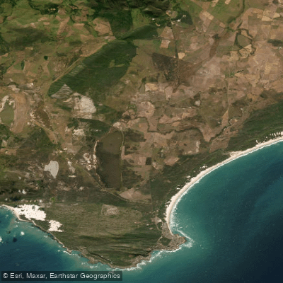
Agulhas National Park sits at the very bottom of the African continent, where the Atlantic and Indian Oceans are traditionally said to meet.
The park's water is almost entirely coastal and estuarine — a landscape of rocky shoreline, wetlands, and shallow lagoons rather than rivers or whitewater. Paddling here means reading tidal windows and coastal exposure, not gradient.
The two waters that anchor the park's paddling are the Heuningnes River and Soetendalsvlei. The Heuningnes is the only river that drains into the sea at this southernmost stretch of coast, and it feeds into a sheltered estuary before reaching the ocean.
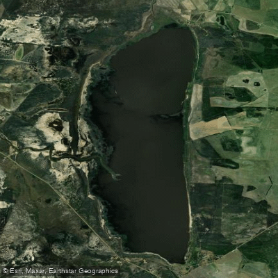
Soetendalsvlei is a large coastal lake connected to the Heuningnes system — one of the most significant wetlands in the Western Cape.
Together they form a quiet, wind-exposed flatwater environment suited to touring kayaks and canoes rather than anything performance-oriented. Wind is the defining variable here.
The Agulhas coast earns its reputation as the Cape of Storms honestly, and conditions can shift fast. A calm morning on Soetendalsvlei can turn into a hard upwind slog before midday. Paddlers who treat this like sheltered inland water do so at their own risk.
Because this is a SANParks-managed protected area, access and activity rules are set by SANParks rather than by general provincial regulation.
Check directly with SANParks before launching — the park's conservation mandate shapes what is permitted on these waters, and that can differ from what you'd expect outside park boundaries.
The Agulhas coast doesn't reward paddlers chasing mileage or technical challenge.
What it holds instead is genuine remoteness at a historically loaded piece of geography, with birdlife on the wetlands and the particular stillness of water at the edge of two oceans.
Top waters to paddle near Agulhas National Park
Water and weather conditions (10 day forecast)
See the best times to paddle Agulhas National Park and check the forecast before you go.
No forecast data available.
Paddle smarter with real-time insights
Whether you're en route and conditions shift or you're looking for the best spot based on current flows, we enable you to make informed decisions on the fly.







Paddling near Agulhas National Park
Loading...
Gateway towns
Where to base yourself for paddling in Agulhas National Park.
- L'AgulhasWestern Cape
The village at the park's heart, with the SANParks rest camp, the Cape Agulhas Lighthouse, and direct access to the park's main trails and coast.
- StruisbaaiWestern Cape
Sits at the eastern boundary of the park and serves as an additional access point along the park's coastal stretch.
- BredasdorpWestern Cape
The nearest inland town to the park, offering broader lodging, supplies, and services for visitors heading to Cape Agulhas.
Explore Agulhas National Park
Top paddling waters
Popular Cities
Loading popular cities...

Smarter Paddling Starts in the App.
Paddleways gives you everything you need to plan smarter, paddle better, and own every trip from first launch to takeout.