Soetendalsvlei
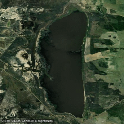
Soetendalsvlei
- Boat Ramps
- 0
- Access Points
- 0
- Campsites
- 0
Soetendalsvlei is a natural freshwater lake located on the Agulhas Plains in the Western Cape province of South Africa, approximately 200 kilometres south of Cape Town. It holds the distinction of being the southernmost lake on the African continent and South Africa's second-largest freshwater lake after Lake Chrissie. The lake measures up to 8 kilometres in length and 3 kilometres in width, offering a substantial body of open water for paddling.
The lake sits within a landscape known as strandveld, characterized by a particular type of fynbos vegetation. The surrounding area includes rare and threatened veld types such as the critically endangered Central Rûens Shale Renosterveld, as well as Agulhas Sand Fynbos and Limestone Fynbos. Inland salt pans are also present in the broader area.
Soetendalsvlei is fed primarily by the New Year River and the Kars River, and drains into the Heuningnes River, which connects to the sea at De Mond Nature Reserve between Struisbaai and Arniston. The total catchment area covers approximately 1,400 square kilometres.
The lake is well regarded as a birdwatching destination, making it of interest to paddlers who enjoy wildlife observation on the water. The broader wetland ecosystem supports migrating birds and connects downstream to an estuary that serves as habitat for breeding fish.
In recent years, approximately 90% of the Soetendalsvlei wetland — some 2,345 hectares — was incorporated into the Agulhas National Park through a WWF South Africa acquisition. Paddlers should be aware that the lake now falls largely within a national park, which may carry specific access and use regulations. It would be advisable to contact Agulhas National Park or SANParks directly before planning a trip to confirm current rules regarding paddling access and any permit requirements.
The lake's name derives from the Zoetendaal, a Dutch East India Company vessel wrecked near Cape Agulhas on 23 August 1673 — the oldest recorded shipwreck on the South African coast.
Water access, boat ramps & amenities
Learn how to get on Soetendalsvlei. Uncover great paddling access points, boat ramps, and all the facilities you need for an unforgettable day on the water. Some locations shown may border or include private property. Always check property boundaries and applicable regulations before visiting. PaddleWays's Public & Private Land layer can help you plan your access with confidence.
Paddle smarter with real-time insights
Whether you're en route and conditions shift or you're looking for the best spot based on current flows, we enable you to make informed decisions on the fly.







Western Cape licenses and regulations

Find Places to Paddle

Over 400,000 Places to Paddle
Every user gets free access to launch points, boat ramps, and public property parcels.


Water and weather conditions (10 day forecast)
See the best times to paddle Soetendalsvlei and check the forecast before you go.
No forecast data available.
Paddling near Soetendalsvlei
Eerste
Steenbras
False Bay
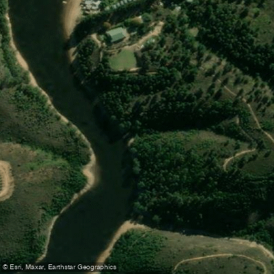
Palmiet
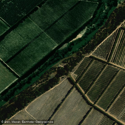
Berg
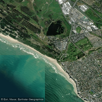
Lourens
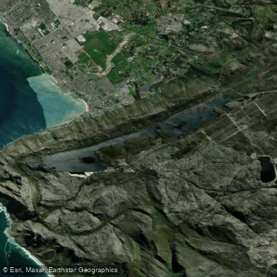
Bo-Steenbras
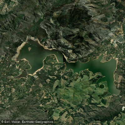
Theewaterskloof
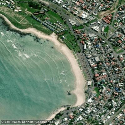
Gordon's Bay Main Beach
Holsloot
Explore Western Cape waters
Top paddling waters
No waters available right now.
Popular Cities
Loading popular cities...
Explore near Soetendalsvlei
Nearby waters
More in Western Cape

Smarter Paddling Starts in the App.
Paddleways gives you everything you need to plan smarter, paddle better, and own every trip from first launch to takeout.