Heuningnes
- Saltwater
- Estuary
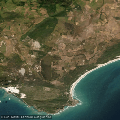
Heuningnes
- Saltwater
- Estuary
- Sq. miles
- 43
- Boat Ramps
- 0
- Access Points
- 0
- Campsites
- 0
The Heuningnes is a coastal estuary system located in the Overberg District Municipality of South Africa, recognized as the most southerly estuary in Africa and holding Ramsar site status. It is situated within the De Mond Nature Reserve, a World Heritage Site located between Arniston and Struisbaai. The primary and likely only formal access point for paddlers is at the mouth of the Heuningnes River within this reserve. The estuary mouth is dynamic, with reports indicating it can be open or closed, which directly impacts water levels and the potential for a surf zone at the marine entry. Paddling here offers a tranquil and unspoilt experience, characterized by a beautiful, quiet river mouth that opens into the sea. The area is noted for its high indigenous fish diversity and is a hotspot for birdlife, making it of significant interest for wildlife viewing. The reserve provides basic amenities including a boardwalk leading to a lookout point, picnic facilities, and a designated swimming area in the river. A key consideration for paddlers is the state of infrastructure; a bridge across the lagoon has been broken for over a year, preventing the completion of a circular walking route and potentially affecting land-based portages. The water body is managed by Cape Nature, and visitors should expect entry regulations and fees typical of a nature reserve. The overall character is one of a remote coastal lagoon, with a mix of estuarine and marine environments, best suited for paddlers seeking a quiet, nature-focused experience away from significant development or boat traffic.
Water access, boat ramps & amenities
Learn how to get on Heuningnes. Uncover great paddling access points, boat ramps, and all the facilities you need for an unforgettable day on the water. Some locations shown may border or include private property. Always check property boundaries and applicable regulations before visiting. PaddleWays's Public & Private Land layer can help you plan your access with confidence.
Paddle smarter with real-time insights
Whether you're en route and conditions shift or you're looking for the best spot based on current flows, we enable you to make informed decisions on the fly.







Western Cape licenses and regulations

Find Places to Paddle

Over 400,000 Places to Paddle
Every user gets free access to launch points, boat ramps, and public property parcels.


Tides, wind & water conditions (10 day forecast)
On open water, wind and tide matter as much as the weather. See the best times to paddle Heuningnes and check the marine forecast before you launch.
Loading tide predictions…
Paddling near Heuningnes
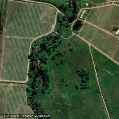
Eerste
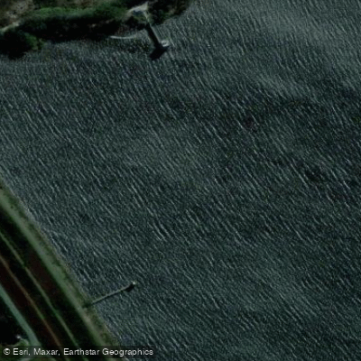
Steenbras
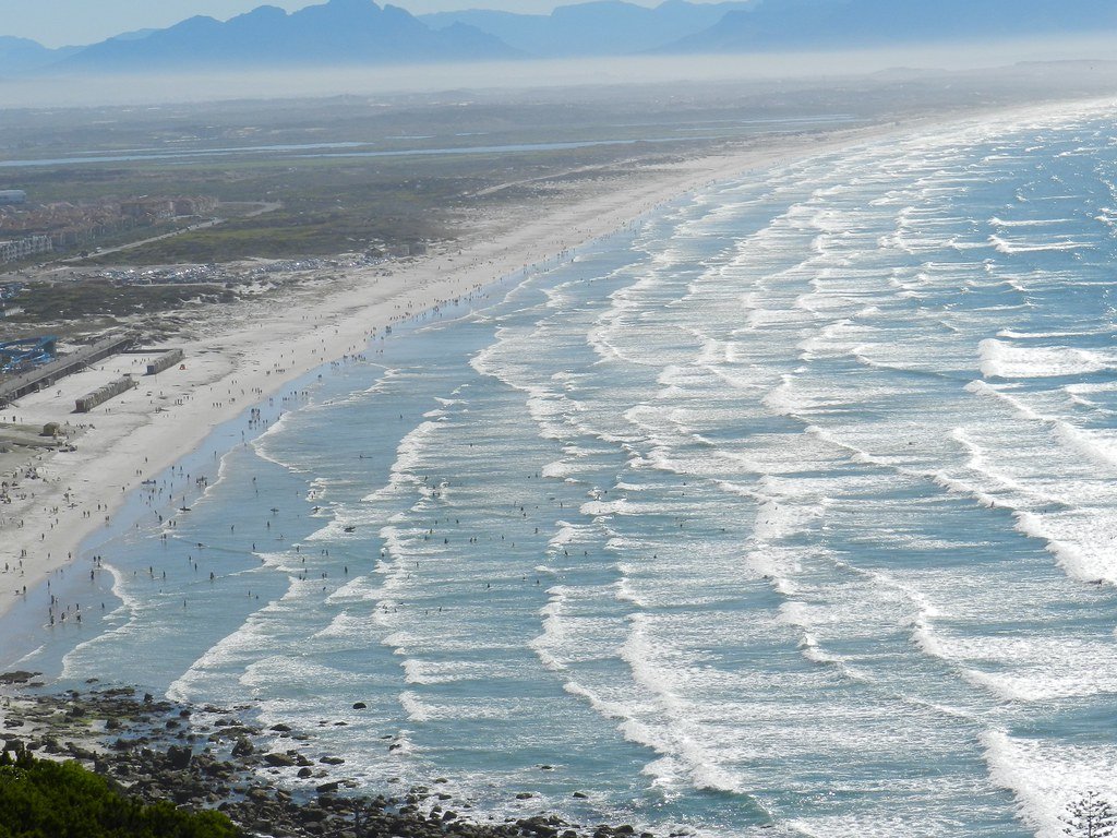
False Bay
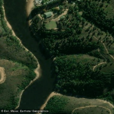
Palmiet
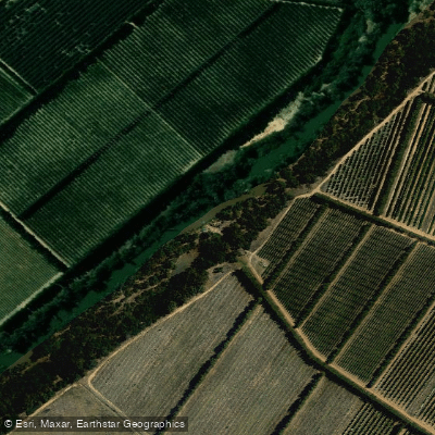
Berg
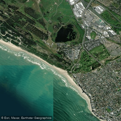
Lourens
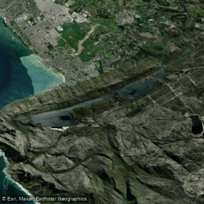
Bo-Steenbras
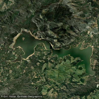
Theewaterskloof
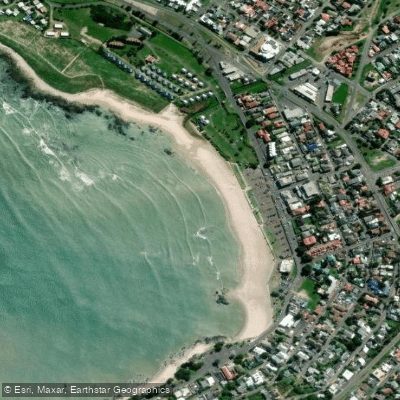
Gordon's Bay Main Beach
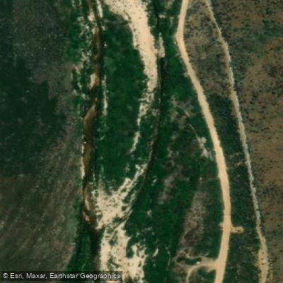
Holsloot
Explore Western Cape waters
Top paddling waters
No waters available right now.
Popular Cities
Loading popular cities...
Explore near Heuningnes
Nearby waters
More in Western Cape

Smarter Paddling Starts in the App.
Paddleways gives you everything you need to plan smarter, paddle better, and own every trip from first launch to takeout.