False Bay
- Saltwater
- Bay
False Bay
- Saltwater
- Bay
- Sq. miles
- 419
- Boat Ramps
- 7
- Access Points
- 1
- Campsites
- 2
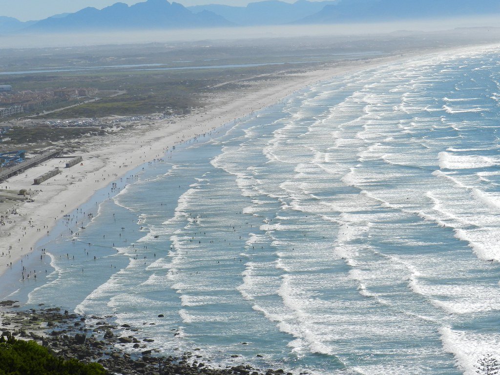
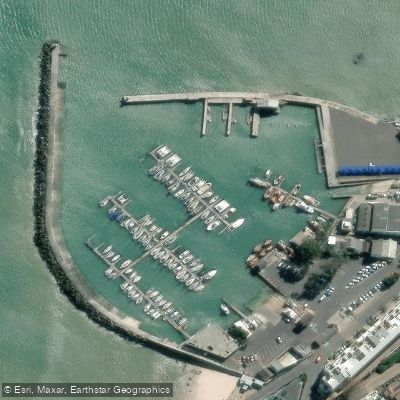
False Bay is a large coastal bay running from Muizenberg to Cape Point on the South African coastline. Its water is notably warmer than the Atlantic side of the Cape Peninsula, influenced by the Indian Ocean and occasional warm eddies from the Agulhas Current. The bay's coastline features a mix of sandy beaches, towering cliffs, and hidden coves, offering paddlers panoramic views where mountains meet the ocean. Key access points for launching include Muizenberg Beach, Kalk Bay Harbour, and Miller's Point Main Slipway near Simon's Town, the latter being a popular launch site for boat dive charters and paddlers. Simon's Town itself is a historic naval village and a common starting point for trips. The bay is exposed to the notorious "Cape Doctor," a strong south-easterly wind that predominantly affects the summer months between October and April, whipping up the sea and creating challenging conditions; northwest winds are also noted. Swell can enter the bay from the southwest or occasionally swing around from the southeast. The area is active with other ocean users, including surfers at spots like Muizenberg Beach, kitesurfers, fishing boats operating from harbors like Kalk Bay, and naval vessels from Simon's Town. Wildlife encounters are a significant draw, with possibilities of seeing playful seals, curious dolphins, a variety of seabirds, and African penguins, particularly near Boulders Beach. Guided sea kayaking tours are available and cater to all skill levels, focusing on navigation and safety. The overall paddling experience combines physical activity with breathtaking scenery and wildlife, though paddlers must be prepared for variable wind conditions and shared water space.
Water access, boat ramps & amenities
Learn how to get on False Bay. Uncover great paddling access points, boat ramps, and all the facilities you need for an unforgettable day on the water. Some locations shown may border or include private property. Always check property boundaries and applicable regulations before visiting. PaddleWays's Public & Private Land layer can help you plan your access with confidence.
Paddle smarter with real-time insights
Whether you're en route and conditions shift or you're looking for the best spot based on current flows, we enable you to make informed decisions on the fly.







Western Cape licenses and regulations

Find Places to Paddle

Over 400,000 Places to Paddle
Every user gets free access to launch points, boat ramps, and public property parcels.


Tides, wind & water conditions (10 day forecast)
On open water, wind and tide matter as much as the weather. See the best times to paddle False Bay and check the marine forecast before you launch.
Loading tide predictions…
Paddling near False Bay
Eerste
Steenbras
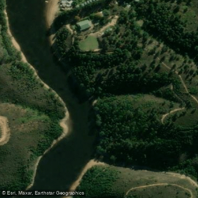
Palmiet
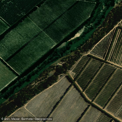
Berg
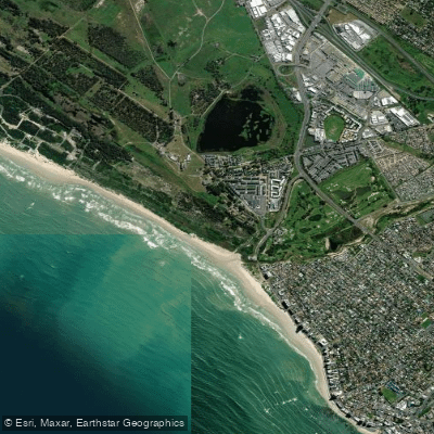
Lourens
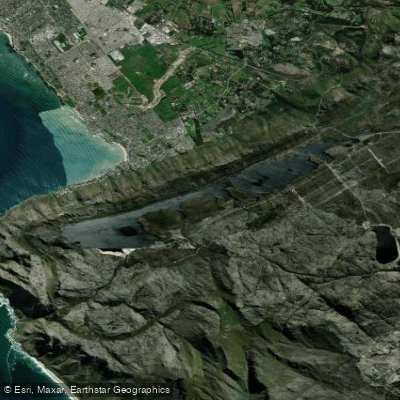
Bo-Steenbras
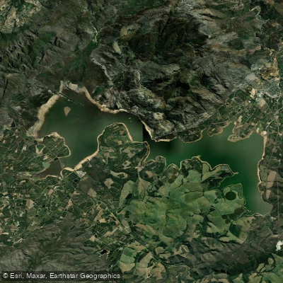
Theewaterskloof
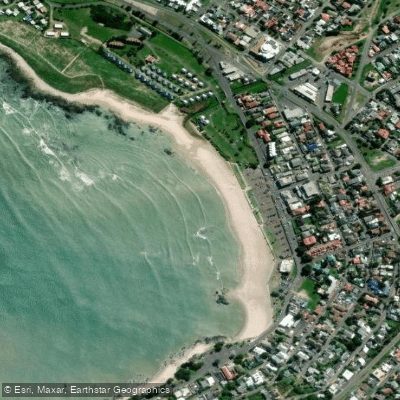
Gordon's Bay Main Beach
Holsloot
Explore Western Cape waters
Top paddling waters
No waters available right now.
Popular Cities
Loading popular cities...
Explore near False Bay
Access points
Nearby waters
More in Western Cape

Smarter Paddling Starts in the App.
Paddleways gives you everything you need to plan smarter, paddle better, and own every trip from first launch to takeout.